|
Mon. |
Tue. |
Wed. |
Thr. |
Fri. |
Sat. |
Sun. |
|
63/ 82 |
66/ 77 |
52/ 60 |
44/ 56 |
42/ 55 |
37/ 60 |
38/ 60 |
|
Light |
Light |
Moderate |
Light |
Light |
Light |
Light |
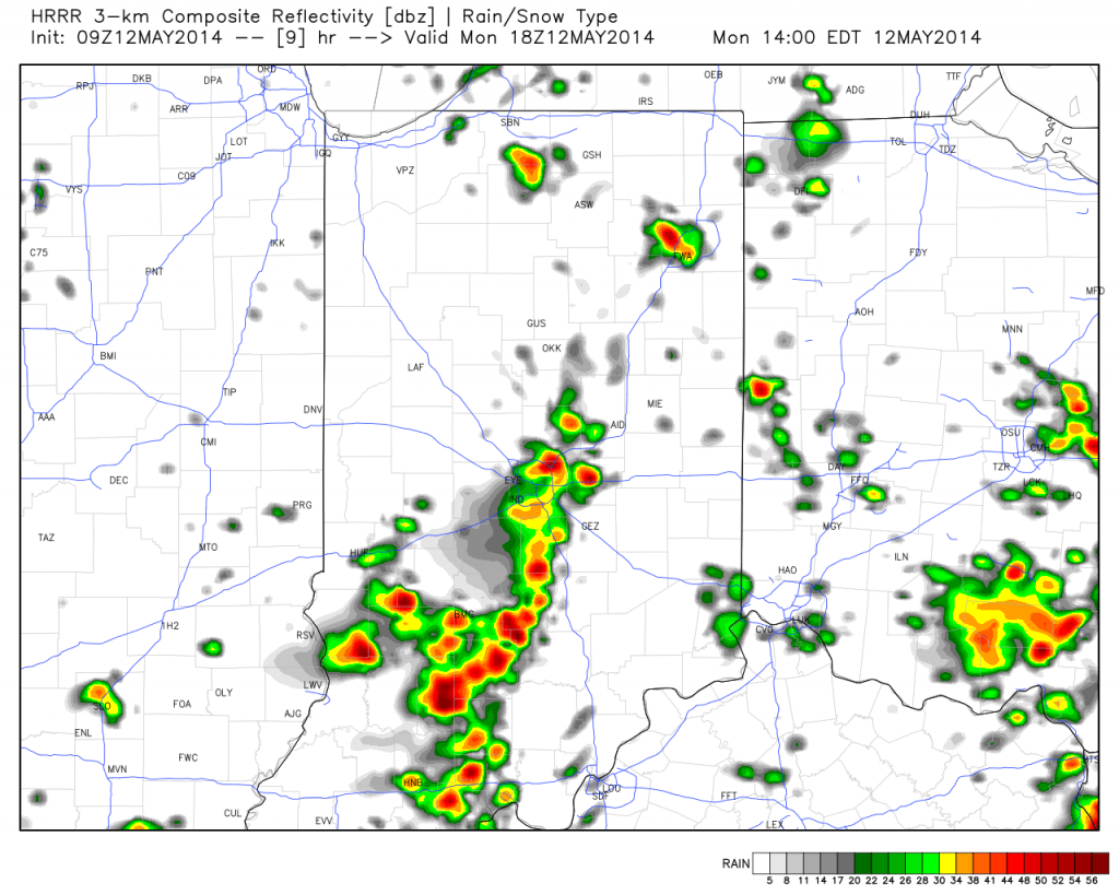
The new work week will feature a very stormy and unsettled weather pattern. While everyone won’t get wet today, we do note the likely chance of afternoon thunderstorms bubbling up during the heating of the day. Like Sunday, any of these storms could feature torrential rain and could quickly pulse to severe levels. More widespread rain chances will arrive Tuesday into Wednesday in direct association with a cold front. The long advertised cooler pattern will arrive behind this front and set up an unseasonably cool time of things to close out the second half of the week and head on into the weekend. Rainfall totals this week will average an additional 1.25″ to 1.50″ with locally higher totals. As for temperatures, we’ll go from well above seasonal levels today (8-10 deg. above normal) to well below seasonal levels by mid week (20 deg. below normal).

