Before we get into some of the latest thinking concerning the weather around Christmas, we want to reiterate the pending pattern change is one that we haven’t had the pleasure of “enjoying” over the past few winters. Our idea is that a prolonged significantly colder than normal pattern is with us to close 2017 and continues into (at least) the first few weeks of January. At times, and especially if we can get a healthy snowpack down, temperatures may become severely cold. Speaking of snowpack, winter storms and rumors of storms will come fast and furious in this pattern and it’ll be important you keep abreast of the latest forecast as you go about your holiday travels this year. It’ll be very, very interesting to see how the general public perceives the coming few weeks as winter conditions will be much more impactful when compared to the past few years. Needless to say, we’ve alerted our snow clients that it’s most certainly time to stock up on the coffee and other energy drinks…some long days (and nights) are likely in this pattern down the road.
Now to the shorter-term:
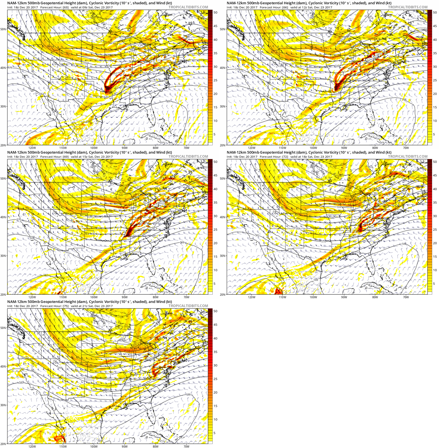
I.) Our first winter weather maker will arrive on the scene Saturday. Guidance today has trended colder, overall, and suggests we need to be on guard for the potential of a narrow, yet possibly heavy, band of wet snow developing on the northern side of the precipitation shield Saturday morning. As of now, central Indiana into western and central Ohio should keep close tabs on forecast developments. We’ll have to “hone in” on overall snow placement over the next 24-48 hours, but that’s the best we can do from this distance.
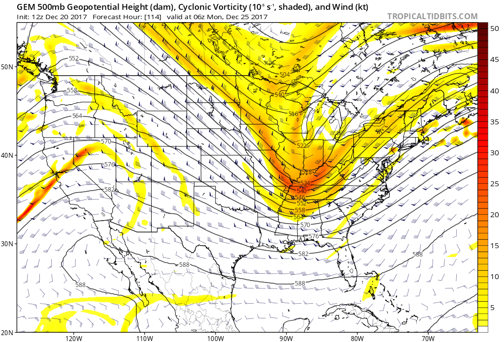
 II.) Additional upper level energy will rotate across the Ohio Valley Christmas Eve and this, combined with arctic air pushing into the region, should maximize moisture production and lead to a period of snow and snow showers Christmas Eve afternoon into early Christmas Day. This energy should feature some Christmas “magic” and be enough to provide a more widespread light accumulation across the region (when compared to Saturday).
 III.) As we look forward to middle and latter parts of next week, the pattern screams potential is on the table for a more widespread, significant winter storm (Plains to the Northeast). While obviously early on in the game, the overall pattern does back up the idea presented by modeling.
The wintry hits don’t stop there, but we’ll save those details for later posts. Make it a great Wednesday evening!
