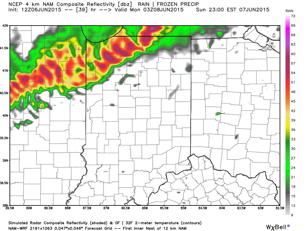
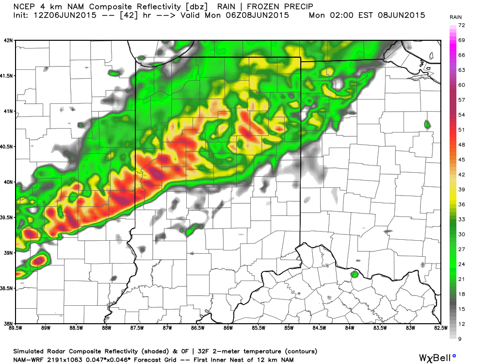
A cold front will slice into a hot and humid air mass Sunday evening. The daytime hours Sunday are expected to provide plenty of sunshine to go along with that hot and increasingly humid air mass (courtesy of strong southwest winds), but things will turn stormy Sunday night. We’re growing close enough now to begin to bracket the most likely time for potentially strong to severe thunderstorms and focusing in on the hours between 10p and 2a. Damaging straight line winds are of greatest concern, but large hail and a quick spin-up tornado can’t be totally ruled out. It’ll be important to set those weather radios before going to bed tomorrow night, or have a means of getting the latest watches and warnings.
Forecast radar 11p Sunday
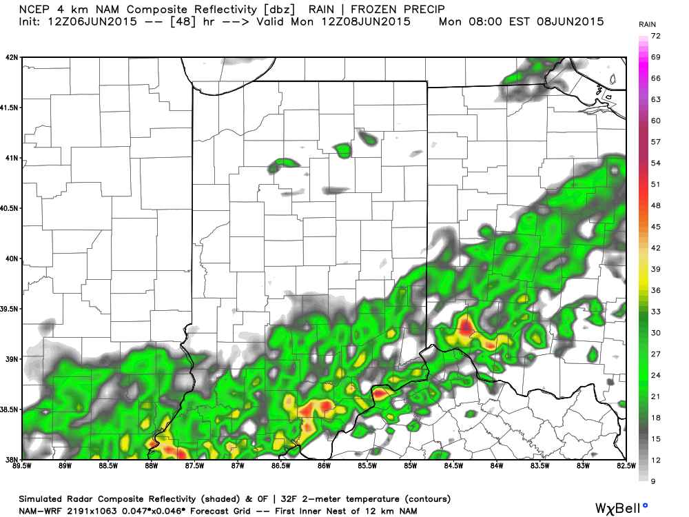
 The line of storms will weaken in rather dramatic fashion as they continue to push south into the lower Ohio Valley and Tennessee Valley Monday morning.
Stay tuned.


