Updated 11.21.22 @ 6:37p
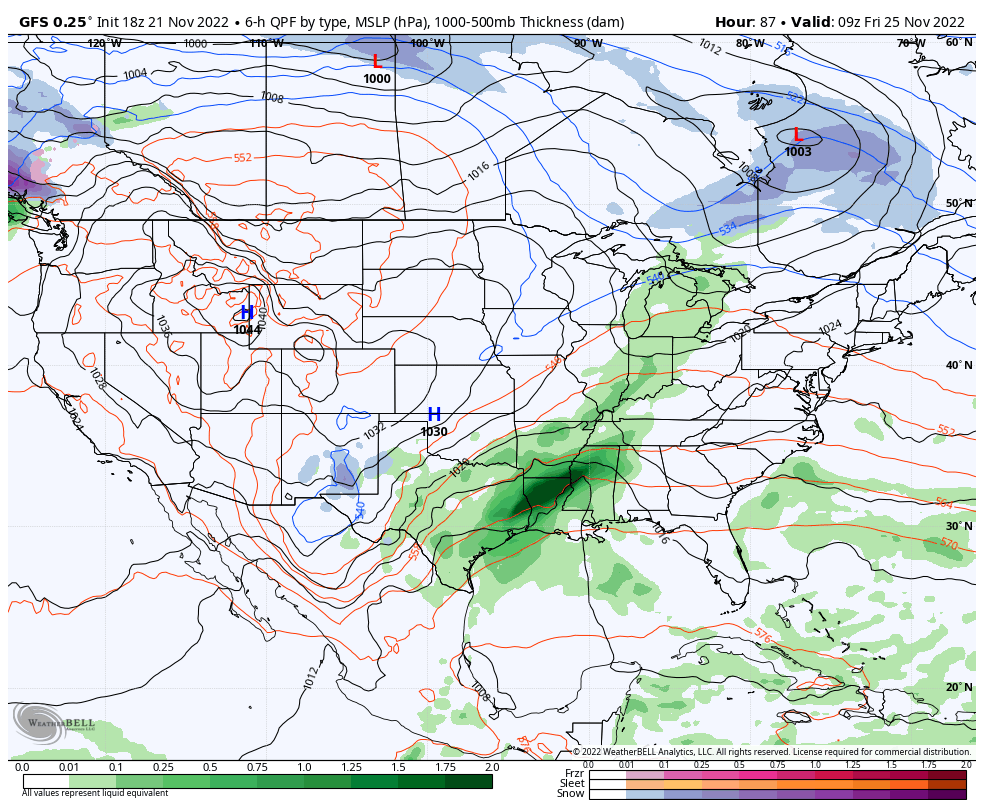
It only took a week to 10 days, but model guidance is FINALLY starting to align on our Thanksgiving storm, and it’s for a more drawn out period of wet, unsettled weather through the Thanksgiving weekend. We still believe clouds will increase through the day on Thanksgiving with light rain moving into central Indiana Thursday evening/ night. The initial surge of moisture should move out of the area early on Black Friday. Early thoughts are for this lead wave to deposit between 0.10″ and 0.25″ for most.


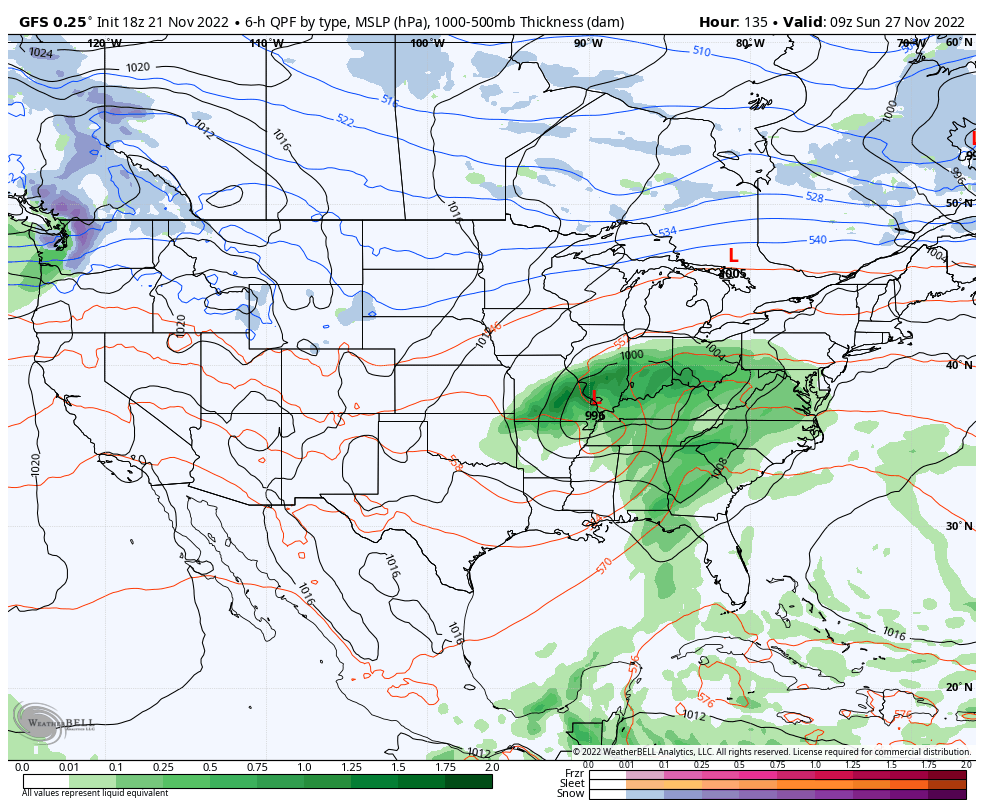
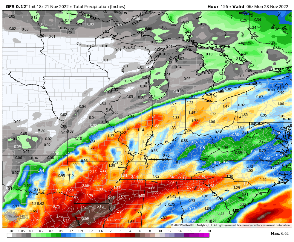
Most, if not all, of our Black Friday and through the daytime Saturday currently looks on the dry side. While we’ll still have considerable cloudiness, the next round of moisture (this of a much heavier variety) is dialed up Saturday evening into Sunday as a surface low moves from the Ark-la-tex region, northeast into the central and eastern Ohio Valley. A 1″ to 2″ soaker appears in order from a standpoint of total rain with this system.


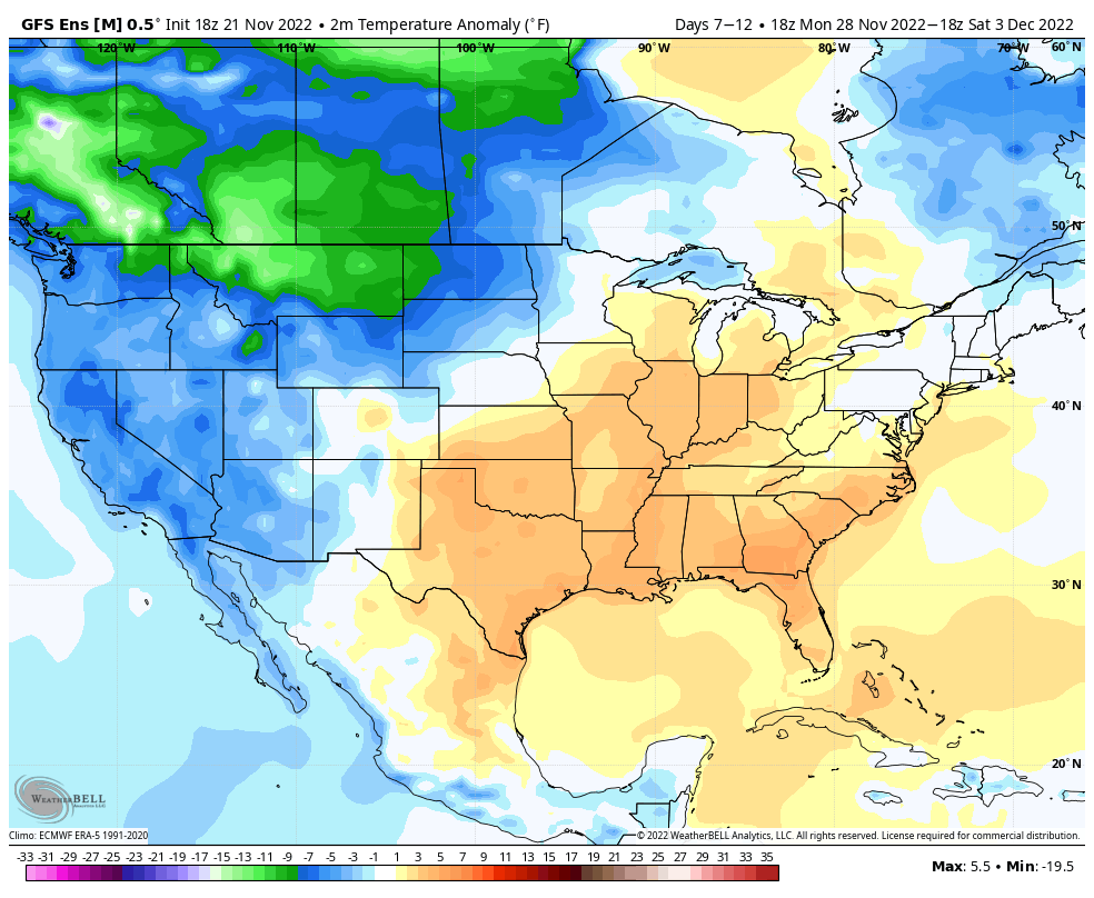
Once the system departs to the northeast, unlike the past couple of events, milder air will take hold to close November and open December. In fact, multiple days with highs into the 60s are a good bet 12/1 through 12/5.

In the face of the warm open to the month, there’s no flinching in our long standing idea of an overall colder/ snowier than normal December, locally. We note the EPO is forecast negative down the road and combine this with what continues to look like a favorable (at least if you’re a winter fan) MJO, the thought here remains squarely on the return of colder, more wintry times after the first few days of the month…

