Our nice weekend is set to continue for another 18-24 hours with another unseasonably cool night ahead. While humidity will increase during the afternoon Sunday, most of Sunday will be dry, albeit warmer. High temperatures will climb into the middle 80s for many central Indiana communities.
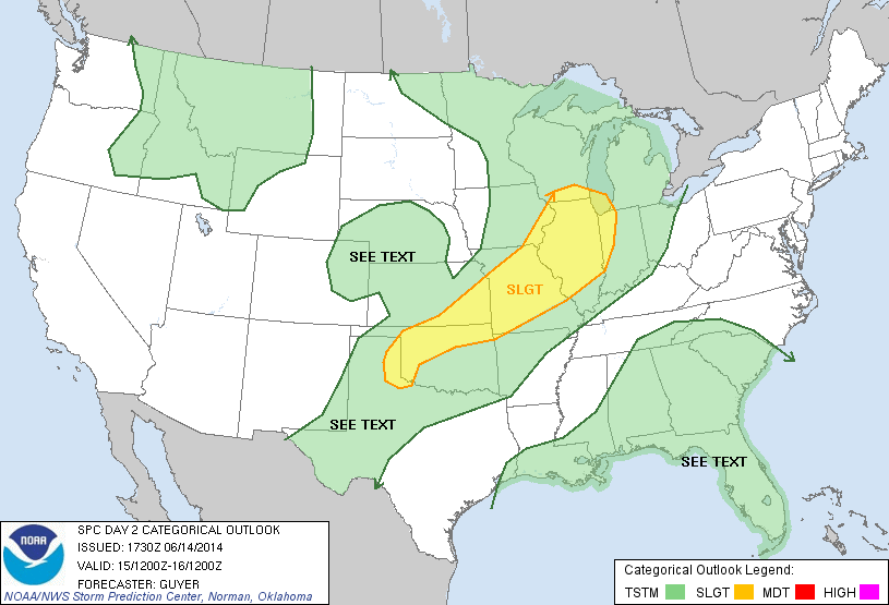
Times will begin to change as we go into Sunday night as just the beginning of a series of convective elements come together to impact the region through Tuesday. Thunderstorms will likely rumble into far western portions of the state as early as 4-5pm. Speaking of far western portions of Indiana, the updated severe weather outlook from the Storm Prediction Center highlights western Indiana for a slight risk of severe thunderstorms. Again, this is a late day severe weather risk with damaging wind and large hail of greatest concern.
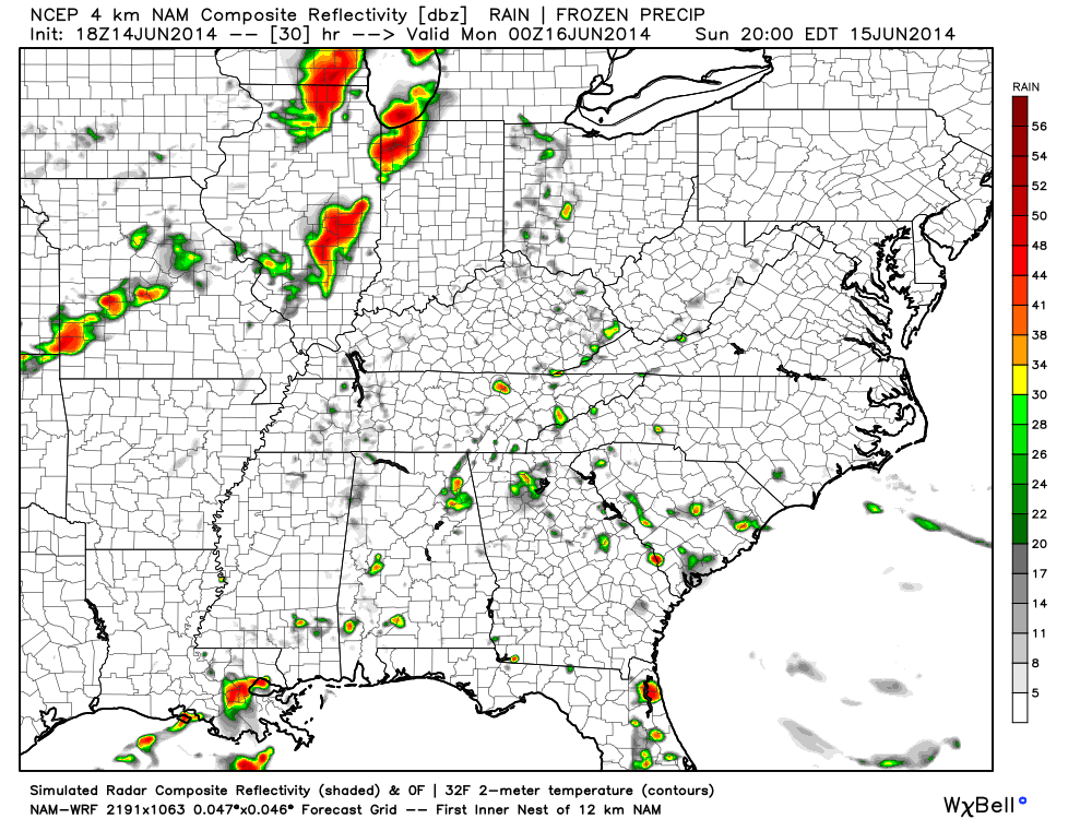
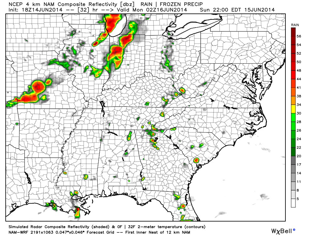
Forecast simulated radar shows the convection rumbling east Sunday night and most of central and eastern Indiana get in on the thundery action before Sunday is finished. Here’s a look at what the radar may look like from 8pm Sunday to midnight Monday morning.
While the storms will likely weaken as they track east, a strong thunderstorm or two is certainly possible for the greater Indianapolis region Sunday night. We’ll keep you posted with future updates. Have a relaxing Saturday night.


