We continue to monitor Sunday’s severe weather outbreak very closely. Simply put, the latest data suggests all of central Indiana will be under the gun for a potentially dangerous and life threatening severe weather event Sunday. The bullet points highlighted in our previous post haven’t changed, but we note tornado parameters may be even more impressive per latest data. Unfortunately, I’m afraid multiple tornado touchdowns will be reported across central Indiana tomorrow afternoon, followed by a more widespread damaging straight line wind event mid to late evening. Certainly please keep abreast of the latest watches and warnings that will come tomorrow.
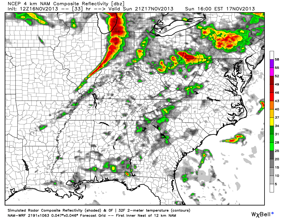
Showers and thunderstorms will develop tonight, but will remain below severe levels. The latest NAM simulated radar shows the developing showers and thunderstorms tonight.
Fast forward to Sunday evening and we note a line of severe thunderstorms moving through central Indiana, including a potential widespread damaging wind event.
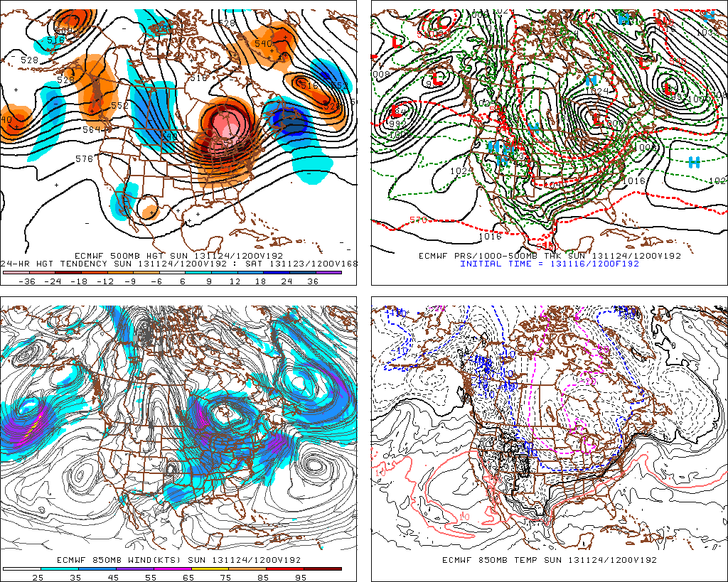
Also, just to let you know, we’re also monitoring next weekend for another possible big weather event. This time we’re not talking severe weather, but possibly a major early season arctic attack… The latest European model isn’t holding back. Could a cold Thanksgiving week be shaping up? We’ll monitor closely.


