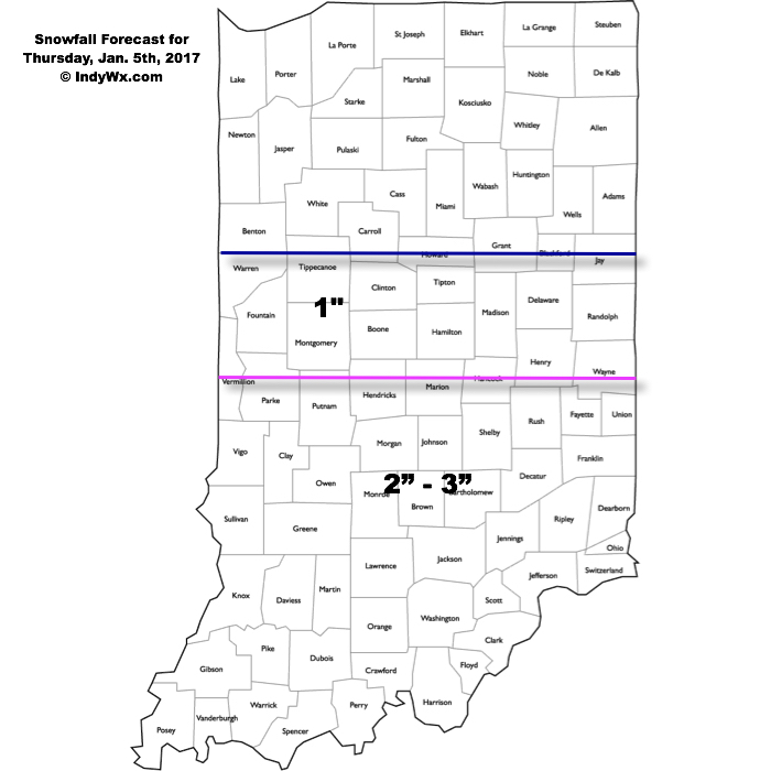
Snow will overspread central and southern Indiana during the predawn hours Thursday morning. Snow, generally light, will continue into the afternoon, but there will be the potential of some localized banding to develop that will lead to higher snowfall rates mid morning into the early afternoon hours. Thinking as of this morning is that the best potential of banding features will be found south of Indianapolis, but this is a fine line and won’t take much to “shove” that potential a couple county rows north. We’ll keep an eye on it.
 This won’t be your standard 10:1 ratio type snow as conditions will be very cold throughout the day Thursday (only around 20 for a high). This will serve to “fluff up” a tenth of an inch of liquid to a couple inches of snow very easily. Secondly, with the cold conditions, it won’t take much snow to create slick and hazardous travel throughout central Indiana Thursday. Please plan to allow plenty of extra time to reach your destination Thursday, both during the morning and evening commutes.

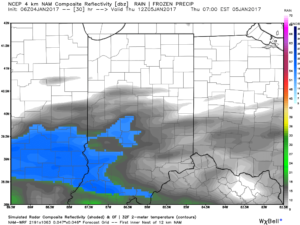
Forecast radar 7a Thursday.

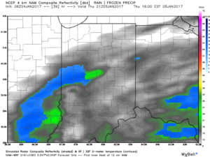
Forecast radar 4p Thursday.

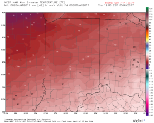
Temperatures will remain in the 10s most of Thursday.
Temperatures will fall into the single digits Friday morning and highs Friday will only top out in the teens.
Make it a great Wednesday! More later today!
