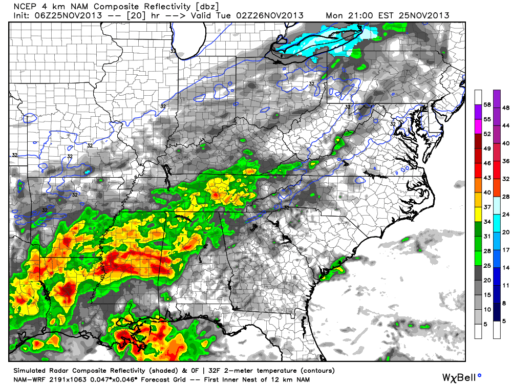
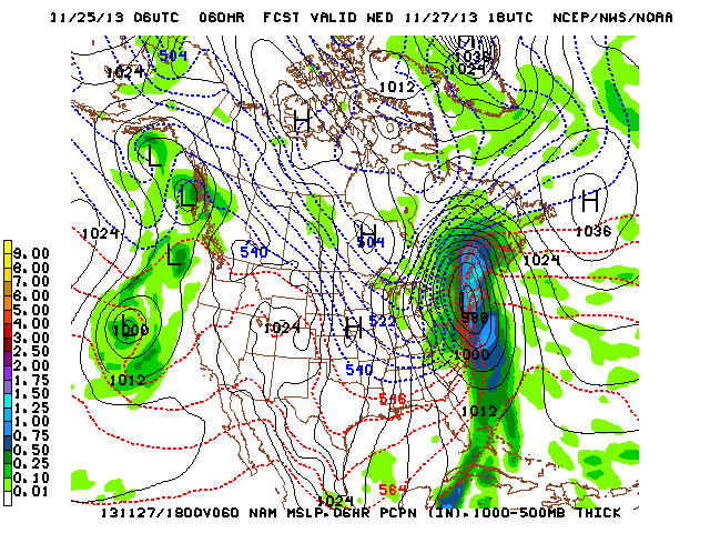
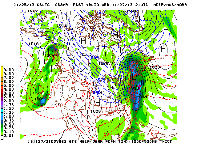
Good morning! Some light snow is possible later this afternoon and tonight, but “light” is the key word and this shouldn’t amount to much, if any, accumulation across the majority of central Indiana. At most, we’re looking at a few communities that may see a dusting to half an inch type accumulation. The latest high resolution data shows that we’re on the northern periphery of the storm system that will create all sorts of travel problems for our neighbors to our east and south in the days to come leading up to Thanksgiving.
Additionally, we’ll keep a close eye on the wind trajectory coming off Lake Michigan Wednesday. It’s looking more and more likely that we’ll have to deal with some lake-enhanced snow showers and embedded heavier squalls here Wednesday as fresh arctic air pours south. While we’re not expecting any sort of widespread, uniform, accumulation with this, the idea is that a few places (primarily from IND and points north) may see a quick coating to 1″ of snow Wednesday as some of these snow showers and locally heavier (but isolated) squalls drift south into north-central Indiana. The latest GFS and NAM show the lake Michigan connection well and we’ll keep a close eye on the wind trajectory Wednesday.


