A “wavy” frontal boundary will be located over our region through the next 36-48 hours before getting a “shove” south from a cold front Saturday.

The combination of the stationary front along with a tropical-rich air mass in place will be enough in and of itself to produce periods of heavy rain today into Saturday morning. Add in a couple of disturbances moving along the boundary and the heavy rain prospects grow even higher. A strong to severe storm also can’t be ruled out-primarily this afternoon and again Friday afternoon.
Already this morning (6:30a) we note widespread showers and embedded thunder impacting IL and northern IN.

As mentioned, the air mass is plenty “juicy” to fuel locally heavy rain through the period. Precipitable water values (PWATs) will surge north of 2″ for all of central IN later today.

While it won’t rain the entire time, periods of heavy rain will remain in our forecast today through Saturday morning. Widespread 1″-2″ totals will be common, with locally heavier totals.

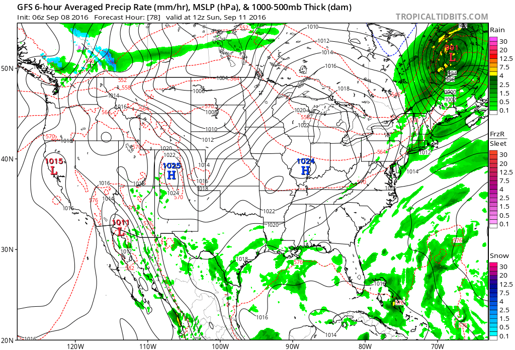
High pressure will build overhead Sunday and lead to quite the change. A much cooler and drier air mass will return along with brighter skies to wrap up the weekend.

Lows in the middle 50s will be common for the city, itself, Sunday through Tuesday mornings. Upper 40s to lower 50s are a good bet away from the metro.
