Facts Are Facts…

I’m hearing rumblings out there that you can’t get sustained cold across Indiana without a negative Arctic Oscillation (AO) and/ or negative North Atlantic Oscillation (NAO).  I would ask those with that belief to please explain the following:

January temperature anomalies month-to-date show widespread cold (even accounting for the January thaw the past week).

ncep_cfsr_noram_t2m_anom


The first two weeks of the month were downright frigid and this was in the face of an AO that was not just positive, but strongly positive.

AO

To take this a step farther, the recent relative warmth has come with a negative AO.

Bottom line is that a ton of drivers are trying to take the wheel this winter.  Admittedly, that makes things incredibly difficult for forecasting- short-term or longer range.  That said, coming out with a “blanket statement” that you can’t have sustained cold without a negative AO or NAO is a flat-out lie and we wanted to address it.  Teleconnections can help many times with coming weather patterns, but not always.  This winter is a prime example of that.

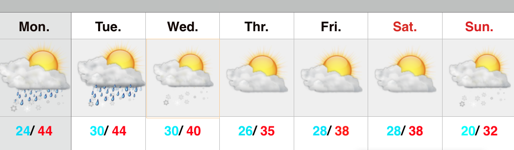
Quick note on the clipper system- all forecast models today have taken the primary impacts (at least from a snow standpoint) north of the immediate region (central Indiana). Heaviest snows are favored across the Great Lakes, extending down into northern IN. We’ll continue to keep a close eye on things…

Permanent link to this article: https://indywx.com/facts-are-facts/

Light Rain And Snow Showers Around This Afternoon/ Evening…

Scattered light rain and snow showers will dot the central Indiana landscape this afternoon and evening as colder air moves into the region.

hrrr_ref_indy_14

Thursday and Friday will be colder than what we’ve been used to the past few days, but nothing out of the ordinary and actually more seasonal.

We’re still eyeing a late weekend clipper system, but the precise track will determine who sees “several” inches of snow, versus little to nothing. Feast or famine, we’ll call it!  Overnight computer model guidance would place the heavier snow totals across northern portions of the state, but we still have a ways to go before anything is set in stone.

Back later this evening with a complete 7-day update!

Permanent link to this article: https://indywx.com/light-rain-and-snow-showers-around-this-afternoon-evening/

Tuesday Evening Update

Quick video update this evening discussing our next weather system and looking ahead to the next opportunity for accumulating snow…

You must be logged in to view this content. Click Here to become a member of IndyWX.com for full access.  Already a member of IndyWx.com All-Access?  Log-in here.

Permanent link to this article: https://indywx.com/tuesday-evening-update-2/

Early Morning Freezing Rain For Some; Watching Sunday-Monday…

Screen Shot 2015-01-19 at 9.28.30 PM

Slick Spots For Some; Accumulating Late Weekend Snow?  A fast-moving disturbance will move through the region during the overnight/ wee morning hours and provide light rain for most of central Indiana, but areas just north of the city will deal with an icy mixture of sleet and freezing rain (be watchful of slick spots if traveling north Tuesday morning).  Sunshine will make a quick return and “work” on our temperatures to help boost afternoon highs into the middle 40s (once again :-))!  Another fast-moving weather maker will arrive late Tuesday night into Wednesday morning with mixed light rain and light snow.  Again, light is the key word.

Colder, but drier weather will build in for the midweek stretch.  The next weather item on the agenda will be a more vigorous clipper system that will slide southeast and result in increasing cloudiness Saturday night into Sunday morning followed by snow overspreading the region Sunday morning.  Accumulating snow is possible Sunday afternoon into Monday morning and will require fine tuning in the days ahead.  Precise track of the clipper system will determine where little, if any, snow falls and potentially several inches.  Stay tuned.  Regardless of the snow potential over the weekend, the stage is set for a MUCH colder time of things next week…

Upcoming 7-Day Precipitation Forecast:

  • 7-Day Rainfall Forecast: 0.10″ – 0.20″
  • 7-Day Snowfall Forecast: 1″ – 3″

Longtime viewer and friend of IndyWx.com, Rick Ehrhardt, sent this fantastic Monday evening sunset from the Avon area.  Thanks, Rick!

B7v4kuoIUAECKCn

Permanent link to this article: https://indywx.com/early-morning-freezing-rain-for-some-watching-sunday-monday/

Fast-Moving Weak Weather Systems…

Screen Shot 2015-01-19 at 8.27.43 AM

Challenging Northwest Flow…A series of fairly weak weather systems will scoot through the region through the first half of the week.  Each disturbance will be capable of depositing a quick round of light precipitation.  Timing will be the biggest issue at hand with the first couple weak disturbances.  We’ll forecast light rain (perhaps a wet snow flake or two) tonight into the wee morning hours Tuesday and again Tuesday night into Wednesday morning.

A drier stretch of weather will arrive for the second half of the work week and early portions of the weekend.  We target Sunday evening as the next opportunity for accumulating snow followed by a push of colder air.  As of now, week 2 is looking unseasonably cold after seasonable to above average temperatures this week.

Upcoming 7-Day Precipitation Forecast:

  • 7-Day Rainfall Forecast: 0.30″
  • 7-Day Snowfall Forecast: 2″ – 3″

Permanent link to this article: https://indywx.com/fast-moving-weak-weather-systems/