Cold, Snowy Pattern Reloading…

I sure hope you’ve taken time to get out and enjoy a couple of days of milder air (temperatures have run 10-12 degrees above seasonal levels the past couple days) and even some sunshine.  Given what I see coming down the road, the trend that looks to take a colder turn this week may really go into the tank week two.

Here’s an overview of the latest GFS and ECMWF ensemble data out at Days 8 through 10 (January 21st-23rd).  Both of these, more trusted, mid to long range computer models suggest a cold pattern locks itself into the East once again, and spells for colder than average temperatures and potentially a snowier than normal regime.

test8


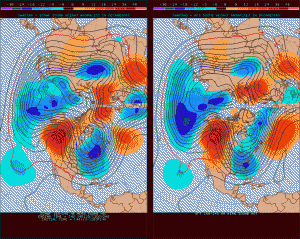
We’ll now dive a little deeper into the forecast model vault, courtesy of the unbelievable Weatherbell Analytics model suite (can’t brag on that company enough).  We’re looking at the Northern Hemisphere Upper Air Pattern, courtesy of the European ensemble control run from this afternoon.

Note the mid week trough set to deliver a return of arctic air into the region.  That’s reinforced with a late week trough and renewed arctic air.  Both cold air masses will be capable of producing light accumulating snow across the area.

Per yesterday’s post, as we get into the early to middle portion of next week, we’ll have to keep a close eye on the potential of the southern and northern branches of the jet stream phasing, which would lead to a significant winter storm across some parts of the eastern half of the country (far too early for specifics or details).

We then note the Polar Vortex recharges itself and threatens to turn the last week to 10 days of January very cold.  How cold is yet to be determined, but I think it’s a safe bet sub-zero temperatures aren’t finished with our area just yet.

Intrusions of very cold arctic air will “pinwheel” around the Polar Vortex and likely lead to a bitterly cold end of January and open to February…

Permanent link to this article: https://indywx.com/cold-snowy-pattern-reloading/

Series Of Cold “Jabs” This Week

A look at the latest European forecast model shows the way we think things play out this week nicely. I hope you’ve enjoyed the relatively milder pattern for a few…

You must be logged in to view this content. Click Here to become a member of IndyWX.com for full access.  Already a member of IndyWx.com All-Access?  Log-in here.

Permanent link to this article: https://indywx.com/series-of-cold-jabs-this-week/

Bet On The Colder Look…

Sometimes in life there are things much more important than the weather and so has been the case the past few days. Moving forward, posts will be a bit erratic,…

You must be logged in to view this content. Click Here to become a member of IndyWX.com for full access.  Already a member of IndyWx.com All-Access?  Log-in here.

Permanent link to this article: https://indywx.com/bet-on-the-colder-look/

Dangerous Cold.

The “big dig” may have to wait a couple of days as brutal temperatures and wind chills will make for downright dangerous conditions to be outdoors for any length of time.  Coming off the city’s second snowiest day in history (11.1″), we now have to contend with dangerous cold. This is the type of cold that can turn deadly should you be outdoors for any length of time.  Take it seriously and remain indoors hunkered down if at all possible.

Before we look at the cold, here’s a snap shot of storm snowfall totals from our winter storm.  “Historic,” “Severe,” “Memorable” are all words that come to mind when discussing this storm.  Widespread 12″ + totals have been reported across central Indiana, and drifts are approaching 7 feet in spots.

snowfall_7am

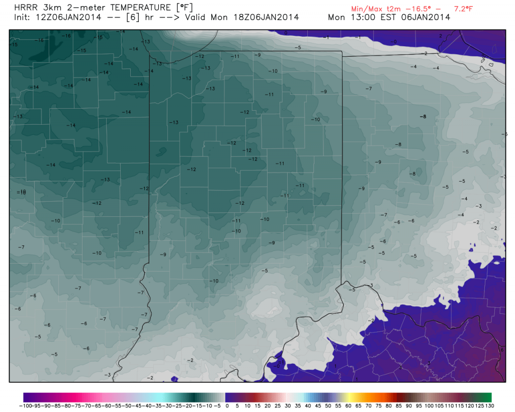
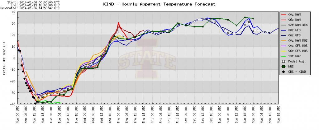
Temperatures today will only reach the 10-12 BELOW zero mark, coupled with wind chills that dip below 40 BELOW zero at times through the day.  With the wind, blowing and drifting snow will remain a concern.

Hi


plotter

Permanent link to this article: https://indywx.com/dangerous-cold/

“Memorable” Winter Storm Just Beginning…

Our severe winter storm is just in the beginning stages and we’ll note rapidly deteriorating conditions moving into the afternoon and on into the night.  Please don’t take this storm lightly. Conditions will become life threatening this afternoon into Monday and don’t be surprised if Blizzard Warnings are issued today.

 Here are some quick bullet points you need to know:

  • 2″ per hour snow rates develop this afternoon
  • The pressure “gradient” tightens tonight leading to Blizzard conditions from late afternoon into Monday morning
  • 9-12″ of snow from Indy and points north, 5-9″ south-central Indiana
  • Drifts grow to 3-5 feet overnight into Monday (local drifts to 6 feet likely for the open country)
  • Monday’s high: 12 BELOW zero (not a typo)
  • Wind Chills: 40-50 BELOW zero by Monday morning

Latest high-resolution model data in house puts down widespread snow total of one foot, including Indianapolis, Zionsville, Noblesville, Avon, Anderson just to name a few…

hires_snow_acc_indy_11

Please be sure to hunker down today and remain inside if at all possible.  Conditions will become life threatening upon venturing out of your home tonight and Monday.

Permanent link to this article: https://indywx.com/memorable-winter-storm-just-beginning/