
 Highlights:
- Increasingly hot and humid
- Isolated storm coverage becomes more widespread
- Relief next week
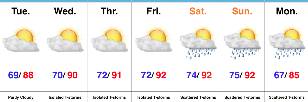
Air You Can Wear…The big weather story will be the increasingly hot and humid feel as we progress through the week and on into the weekend. The combination of dew points in the 70s and wet soils across the state should “beat back” the heat from getting to where it otherwise could (mid-upper 90s), but it’ll feel oppressive, nonetheless. Plan to hydrate and wear cool, lightweight clothing if you plan to be outdoors for any length of time.
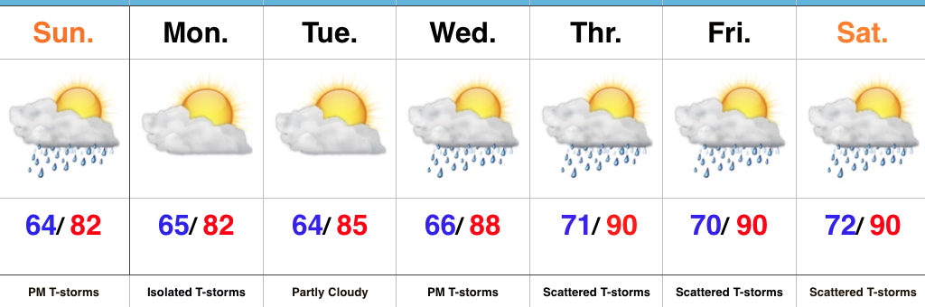
While we can’t completely rule out a renegade storm through Friday, most neighborhoods will remain free of any rain through the remainder of the work week. Better coverage of showers and thunderstorms will increase over the weekend into early next week as the transition from hot, humid weather begins to give way to a more pleasant feel.
Upcoming 7-Day Precipitation Forecast:
- Snowfall: 0.00″
- Rainfall: 0.50″ – 1.00″
 2.) While the radar is rain and storm-free this morning, a left over boundary, combined with daytime heating will help spark isolated to widely scattered storm coverage this afternoon.
 3.) The big weather story this week will be an increasingly hot and humid feel once to mid and late week, including the weekend. While today will continue the theme of slightly cooler than average from the weekend, we’ll more than make up for the refreshing feel later this week. Highs will push to around 90° Wednesday through Sunday as the ridge expands.
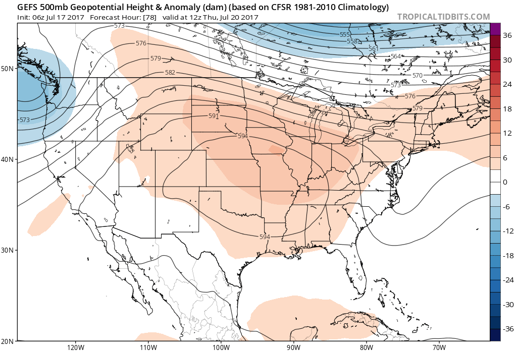 4.) Despite the hot and humid feel that develops this week, it won’t last. Like so many other times this summer that heat tries to build east, the transient weather pattern will continue to prevent it from “hitting and holding.” You guessed it, as we transition from the hot conditions to cooler weather next week, rain and storm chances will be on the increase, including the potential of heavy rain. As of now, best rain and storm chances appear lined up for late week through the weekend and into early next week.
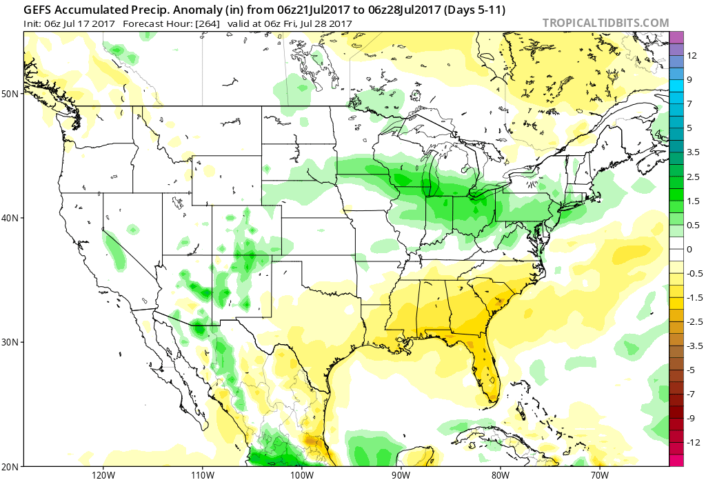
 Highlights:
 Highlights:
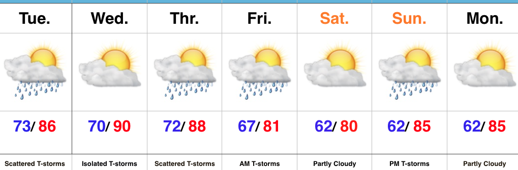 Highlights: