And Then The Rains Came…
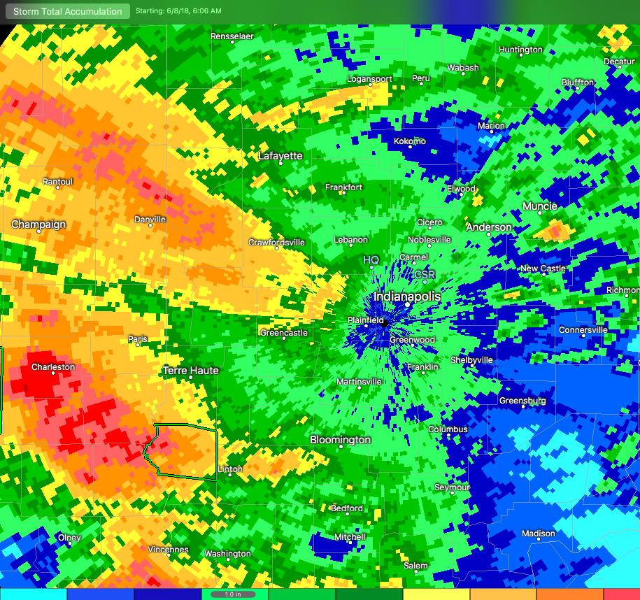
Central Indiana has dealt with heavy rain over the past (24) hours, and it’s continuing this morning. In some areas, rainfall has been excessive. Note the latest Storm Total Rainfall map below. Areas of light green indicate where 1″ of rain has fallen (since June 8th), yellow indicates where 2″ of rain has accumulated, and the orange hues represent areas of 4″ to as much as 5″ in spots. – Again this is just rainfall from Friday morning through 7a Monday.
 Moisture continues to stream across central and southern Indiana this morning, and some of this rain is falling at a moderate to heavy rate.
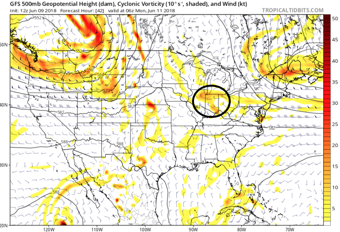
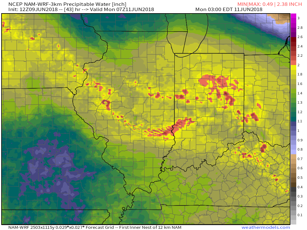
 Widespread rain will eventually come to an end later this afternoon before scattered showers and thunderstorms redevelop this evening into tonight. Potential is also present for the possibility of another thunderstorm complex impacting parts of the region late tonight into early Tuesday- especially across the southwest part of the state. Scattered thunderstorm chances will remain Tuesday (more of the splash and dash variety as opposed to a widespread soaker).
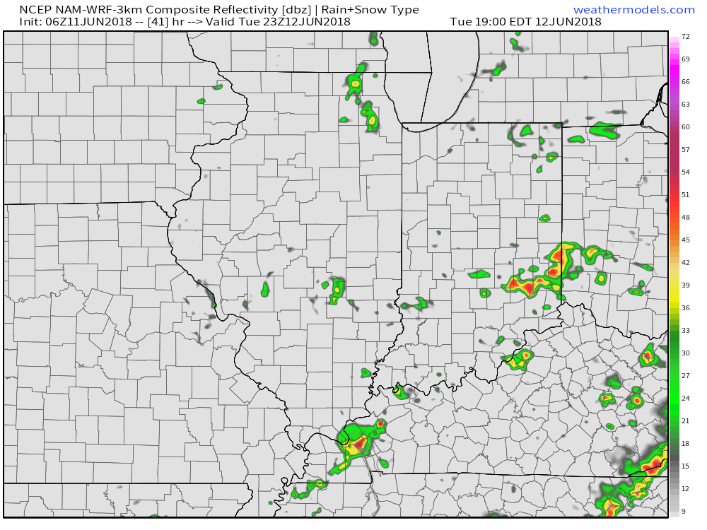 Eventually, drier air will work into the state for midweek and rainfall coverage will diminish Wednesday and most of Thursday.
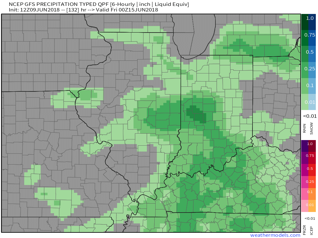
An increasingly moist air mass will return to close the week and with the increasing humidity, rain and storm chances will make a return Friday into the upcoming weekend.
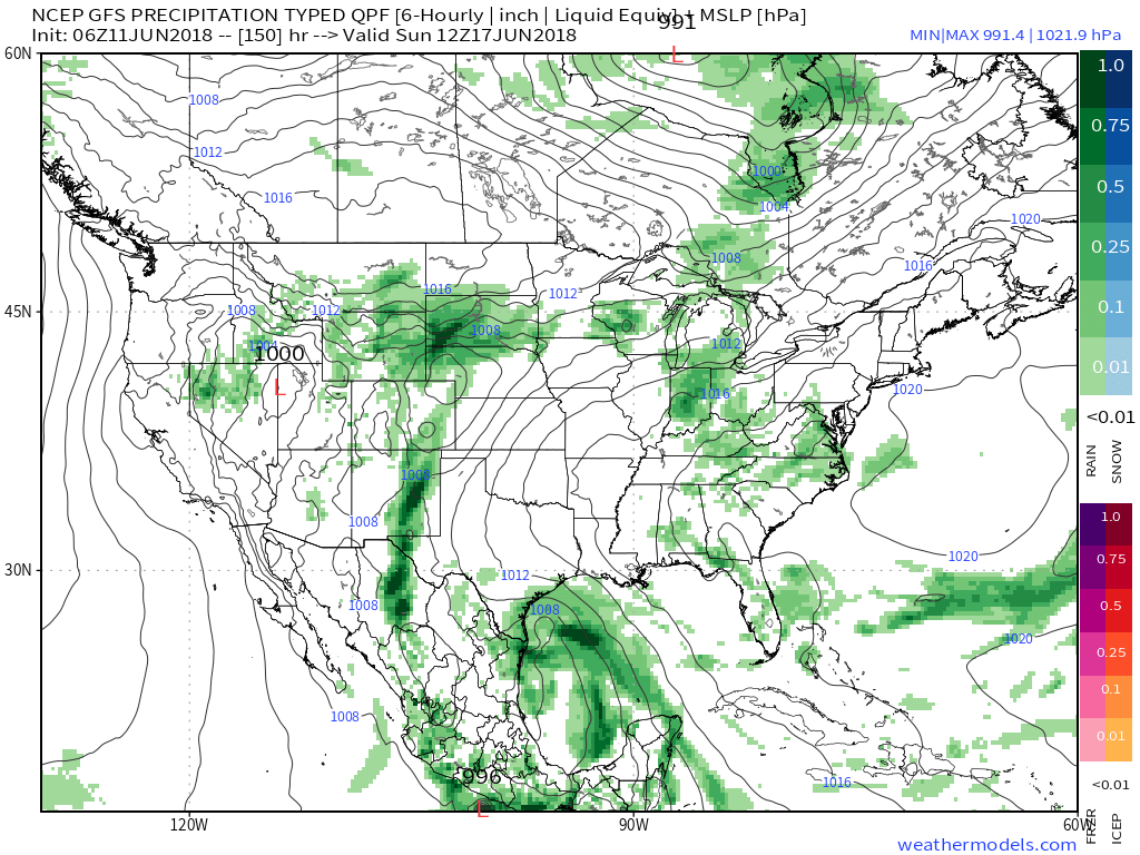



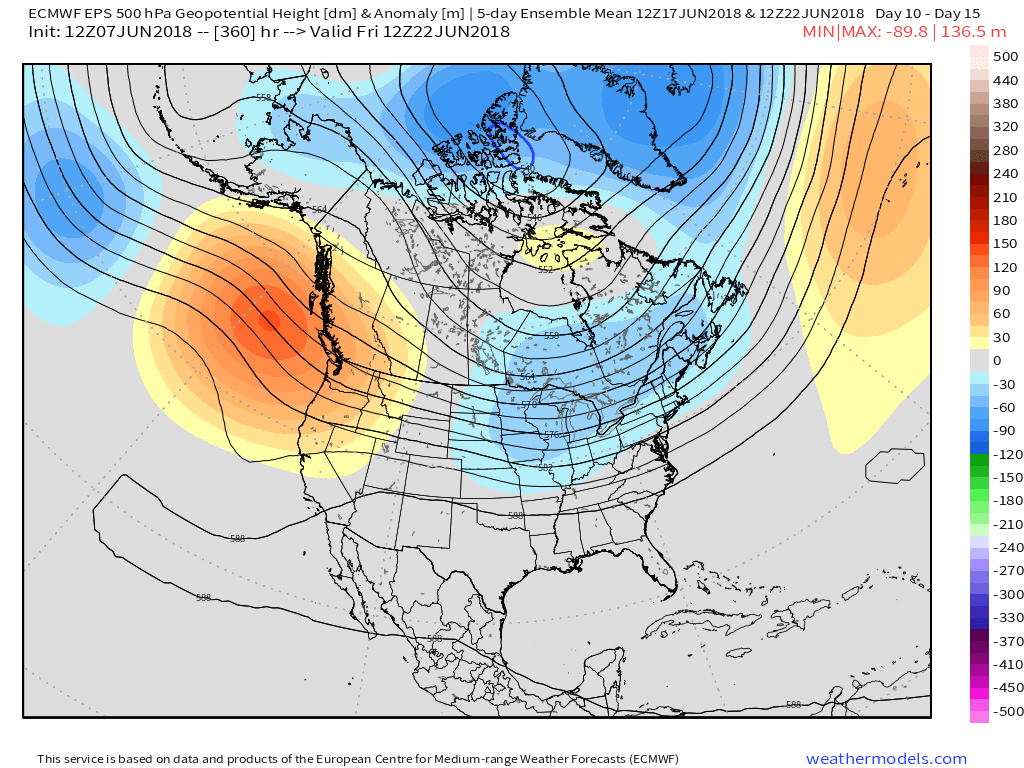
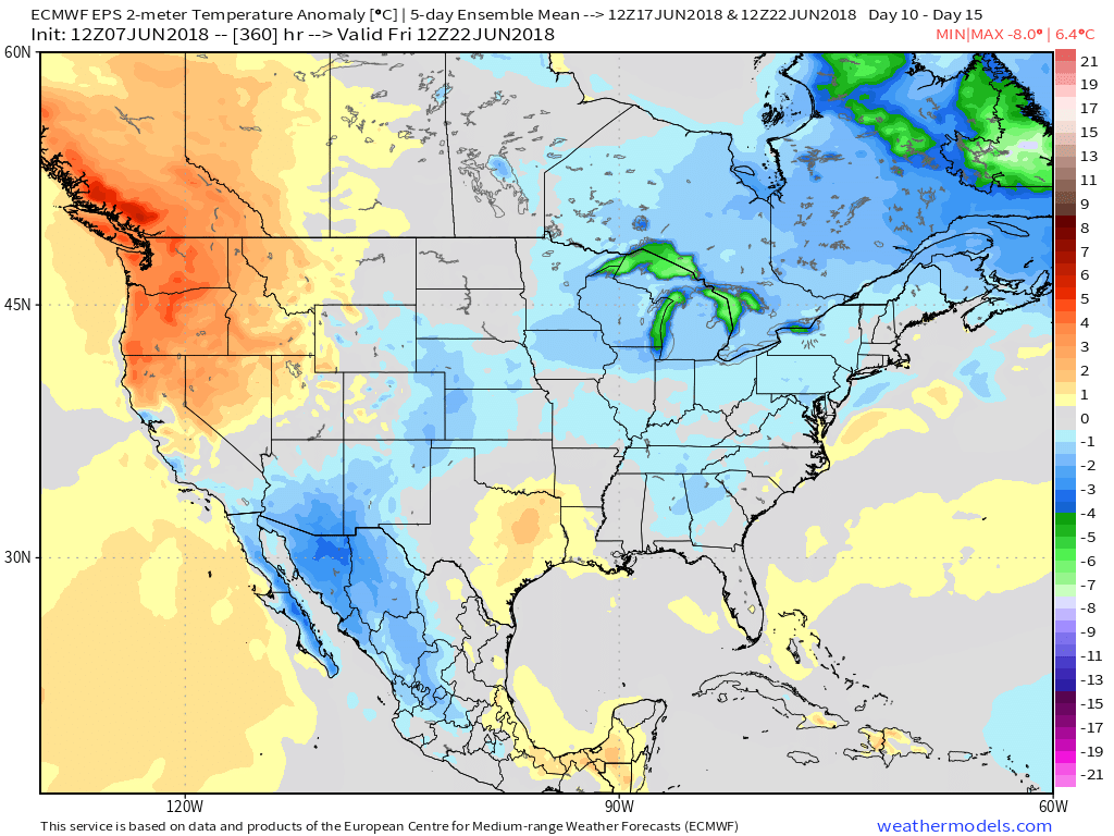
 An early look at next weekend shows general agreement with the GFS and European forecast models: drier air returning along with slightly cooler air. We’ll keep you updated!
 Eventually these storms should pick up momentum and head off to the southeast later tonight.
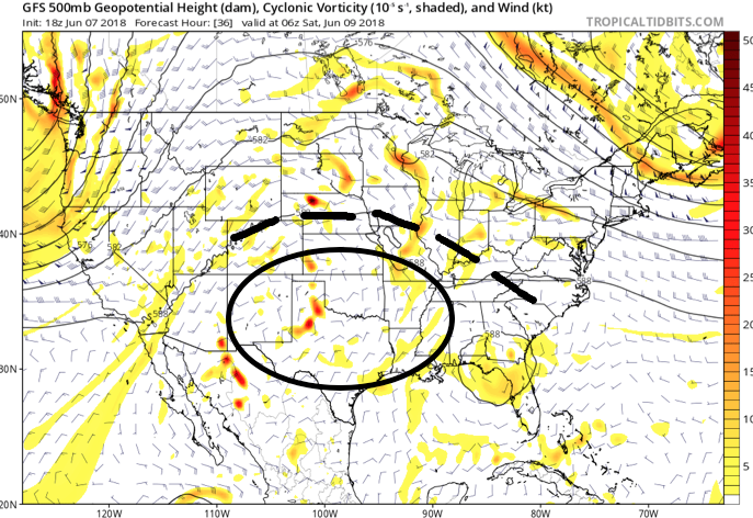 An increasingly muggy air mass will take hold of the region as we close the work week, with dew points approaching 70° at times. The term “air you can wear” comes to mind. As impulses of energy interact with this tropical air mass, thunderstorms will blossom- particularly in the afternoon and evening hours.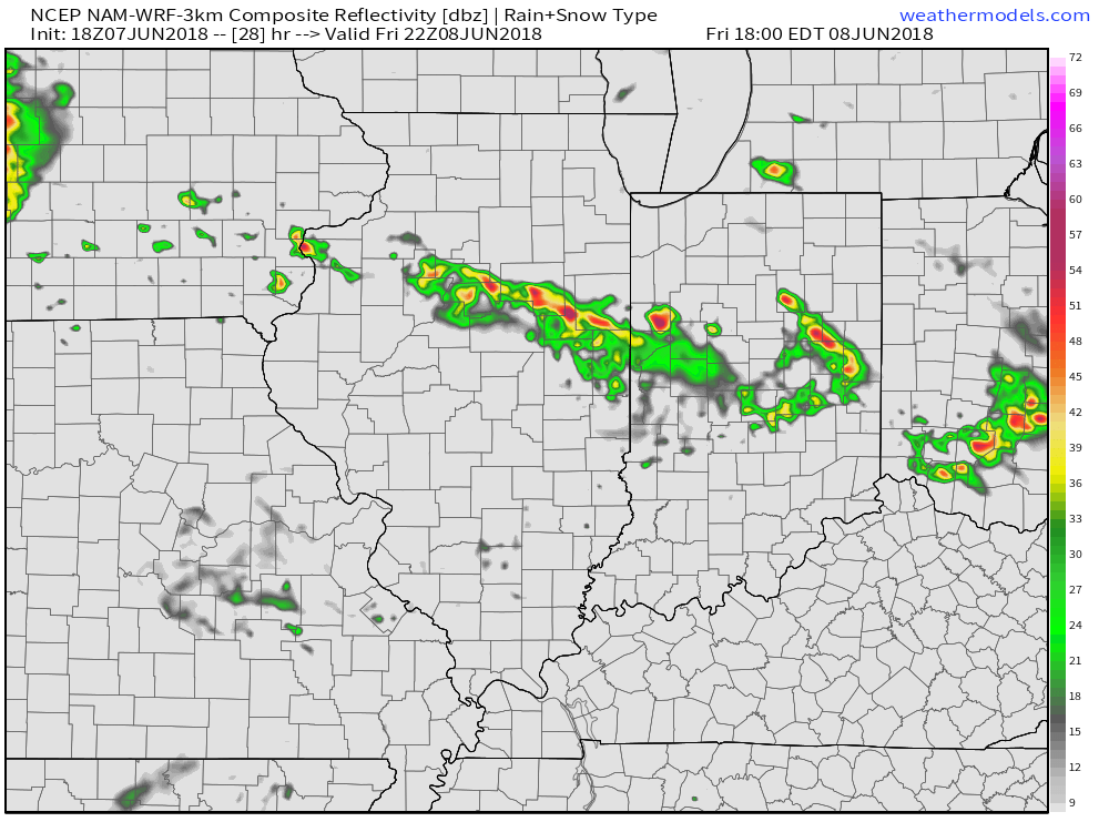
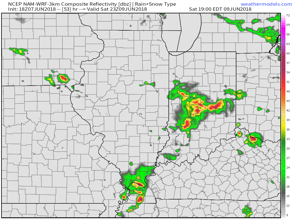 Looking down the road, a “sticky” summer feel will remain intact through next week, but changes are brewing in the longer range. These changes would support a cooler regime developing just past mid-June (in the 10 to 15 day time frame). While the duration is up for debate, it’ll be nice for at least a few days of cooler air…