
An unsettled open to the work week is upon us. Periods of showers and thunderstorms can be expected this morning through Wednesday morning. Tuesday will present the most widespread thunderstorms and a few of these could reach strong-to-severe levels. Locally heavy rain can be expected at times. The greatest concerns from a severe perspective center around large hail and damaging straight line winds, but a couple of tornadoes can’t be ruled out.
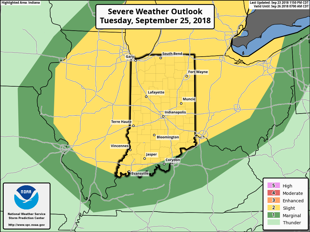
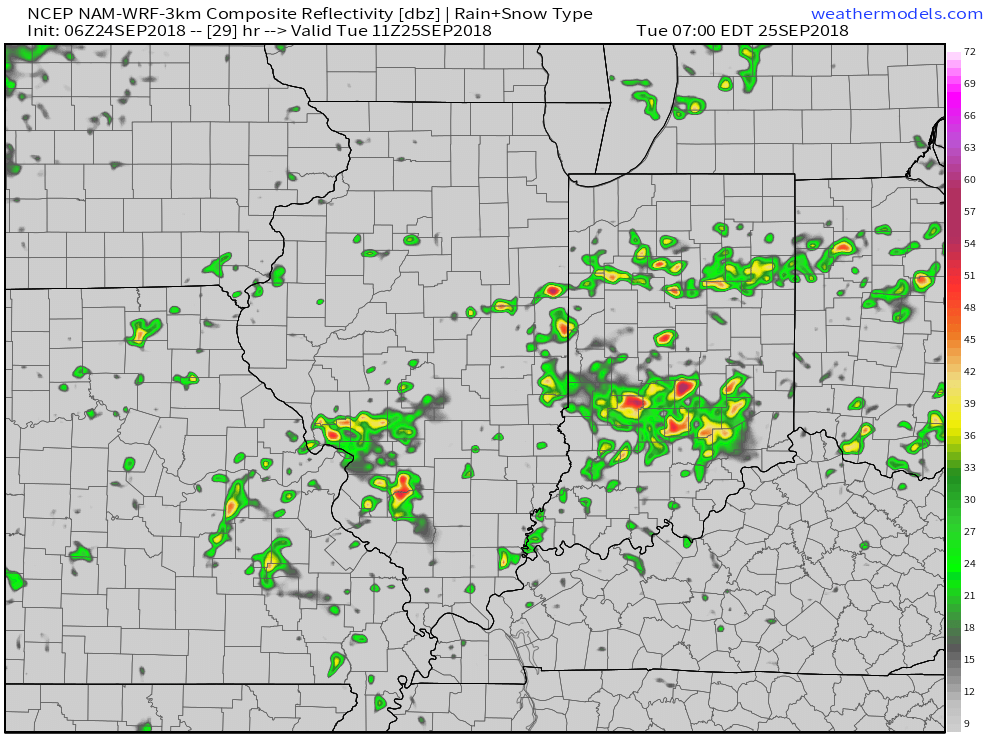
Most widespread coverage of storms will arrive Tuesday.
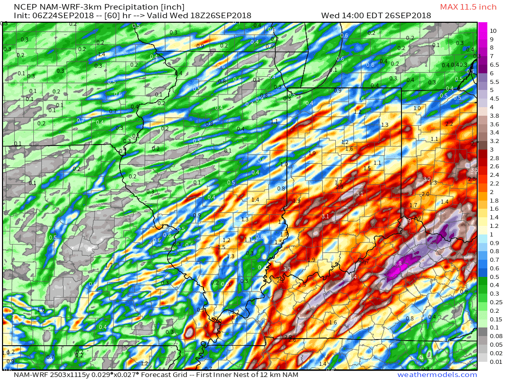
Heaviest rain amounts will fall across eastern parts of the state where widespread 1″ to 2″ with locally higher amounts are expected by Wednesday morning. With that said, localized 1″+ amounts will also fall across northwest parts of the state as shown on the latest high resolution NAM.
 The frontal boundary will sweep through the state late Tuesday and allow a cooler and drier air mass to filter into the region Wednesday. You’ll notice a true fall feel out the door Wednesday morning- low to mid 50s. Highs Wednesday afternoon will remain in the 60s.

 The culprit? A persistent strong eastern ridge (the same ridge that trapped Florence across the Carolinas after she made landfall).
 A positive PNA typically leads to an eastern trough- especially during the fall months into the spring. Something like this kind of upper level pattern usually results.
 Sure enough, the models are going to this look.
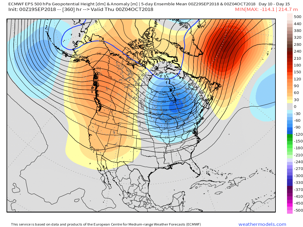 At the surface, the eastern warmth is reversed in a significant fashion with well below average temperatures. In fact, temperatures will grow cold enough to support high ground snow in the Rockies and northern Great Lakes and the threat of an early frost into the upper Mid West and perhaps portions of the Ohio Valley during the period.
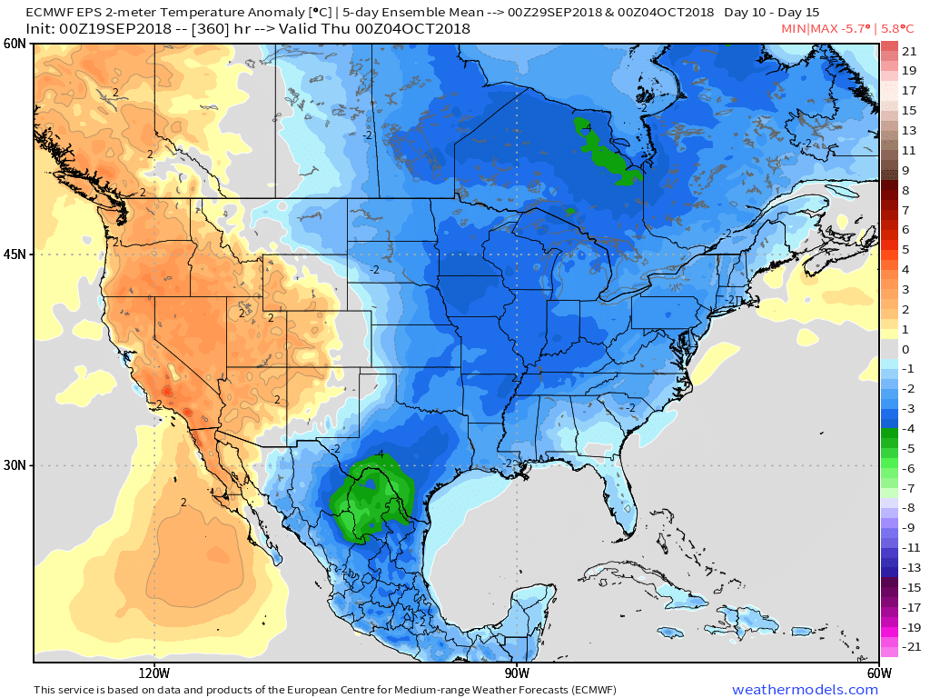 Ah, true pumpkin spice season is right around the corner. 😉