Cooler Today; Heavy Rain Arrives Over The Weekend…

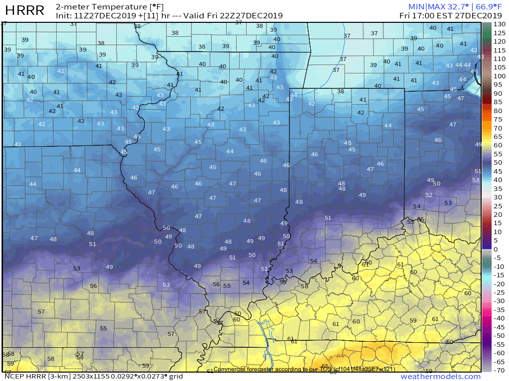
A cold front will slip south through central Indiana over the next couple of hours. This will result in a much cooler feel when compared to the past couple of days, but still milder than normal for late-December. We’ll note temperatures generally holding steady in the mid 40s before falling into the 30s this evening.
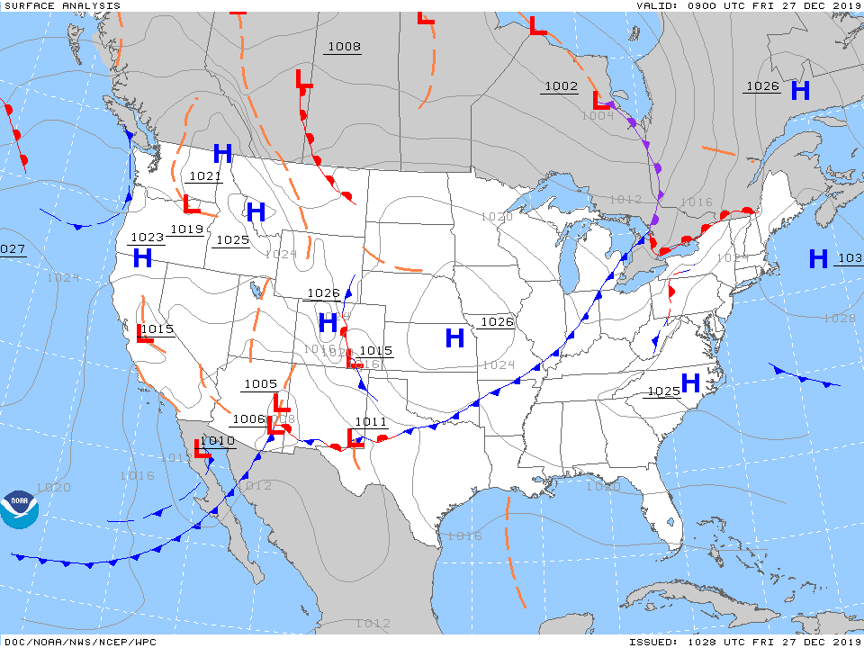
As we flip the page to Saturday, changeable weather can be expected by evening. For the majority of the daytime, expect considerable cloudiness and cool conditions. Our wind direction will back around to the south Saturday night and this will result in rising temperatures (into the lower 60s by Sunday morning) along with periods of showers and thunderstorms developing during the overnight hours into Sunday.
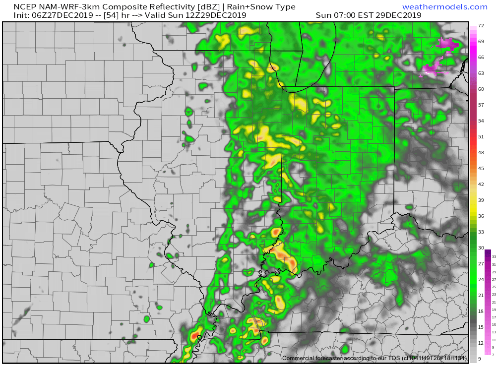
We’ll keep close eyes on a secondary wave of moisture that will develop Sunday afternoon. While it still appears as if the bulk of the heavy rain associated with this secondary wave will remain to our east, portions of east-central Indiana can expect heavier storm totals. The large majority of central Indiana can expect total rainfall amounts of 0.75” to 1.25”, with 1.25” to 2” across east and southeast areas.

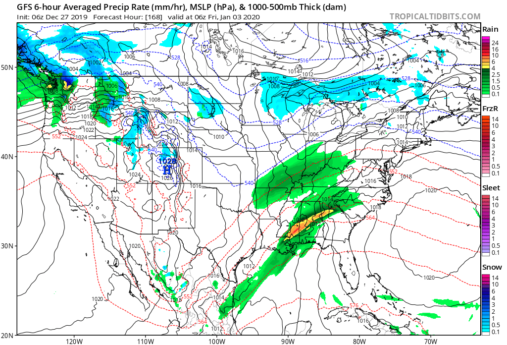
We’ll turn windy and colder for New Year’s Eve (northwest gusts of 30-40 MPH), but dry things out. Our next system of note won’t arrive until late next week.
More later this evening in our latest video update. Make it a great Friday!
Unlocking The Puzzle?

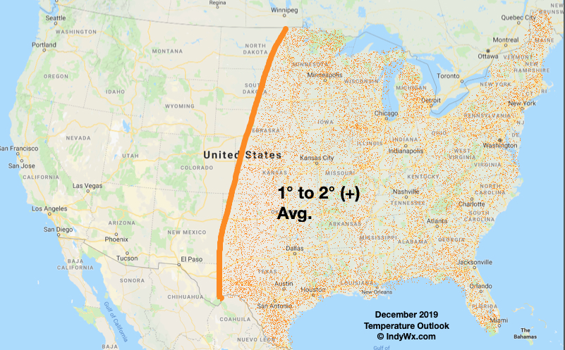
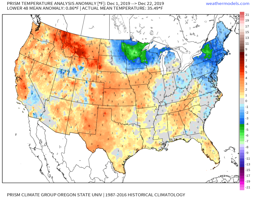
Before we take a look-ahead to January, reviewing our December forecast vs. reality (and what’s to come), shows that we’re in a strong position to grade well for the last monthly forecast of 2019- especially across the eastern half of the country.

IndyWx.com December Temperature Outlook:

Reality Month-to-Date:

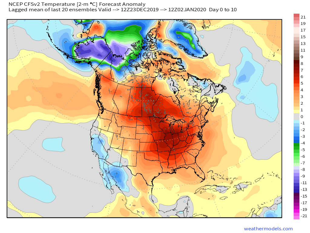
Remainder of the month:

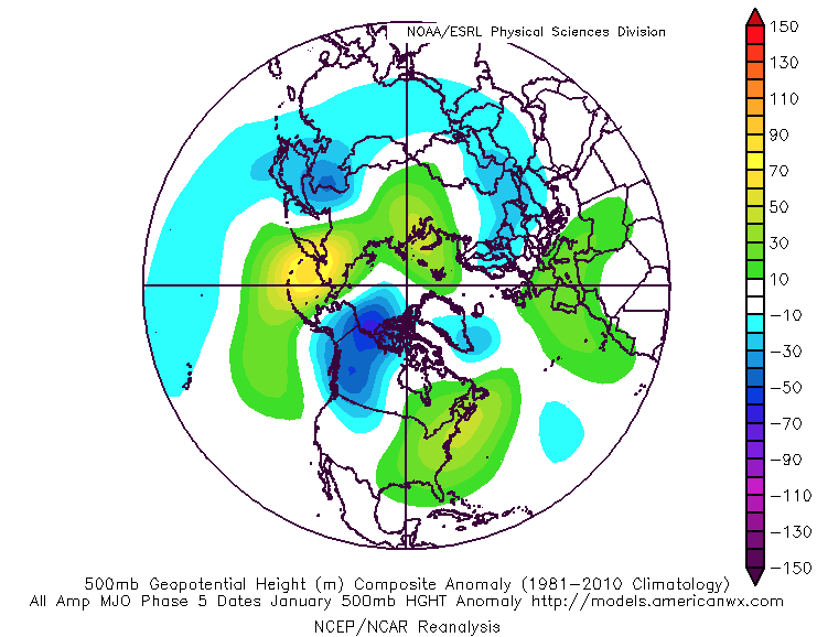
As we look ahead, at least until we get to mid and late winter (when the AO and NAO can begin having more influence on the pattern), I think we’ll go as the MJO sees fit. There are growing signals the MJO should begin to get more amplified as we get into the new year and this should play a significant role in the overall January pattern. The idea is a relatively warm open to the month (cooler than what we’ll see the next week, but still a touch milder than average) that trends colder as the month progresses.

The MJO looks like it will cycle into Phase 5 before “curling around” into Phases 6 and 7.

This would yield a transitional time of things from a predominant eastern ridge that gives way to expanding cold late Week 2 into Week 3.

Phase 5: JAN
Phase 6: JAN
Phase 7: JAN

By the way, there are reasons to believe the amplitude would likely continue into Phase 8, 1, and 2, late month and into February. If so, this would result in cold overwhelming the pattern along with increased storminess (plenty of winter storm threats to boot). Truth be told, after a mild open to meteorological winter (nice to still cash-in on an early season snow event), there are plenty of reasons to believe we’re looking at winter to return with authority as January evolves.

Our complete January Outlook will be online Sunday.