Weekly #AGwx And #Severe Weather Outlook…

I. Warmer and more humid air builds northeast through the period.

II. Rain and storms return.
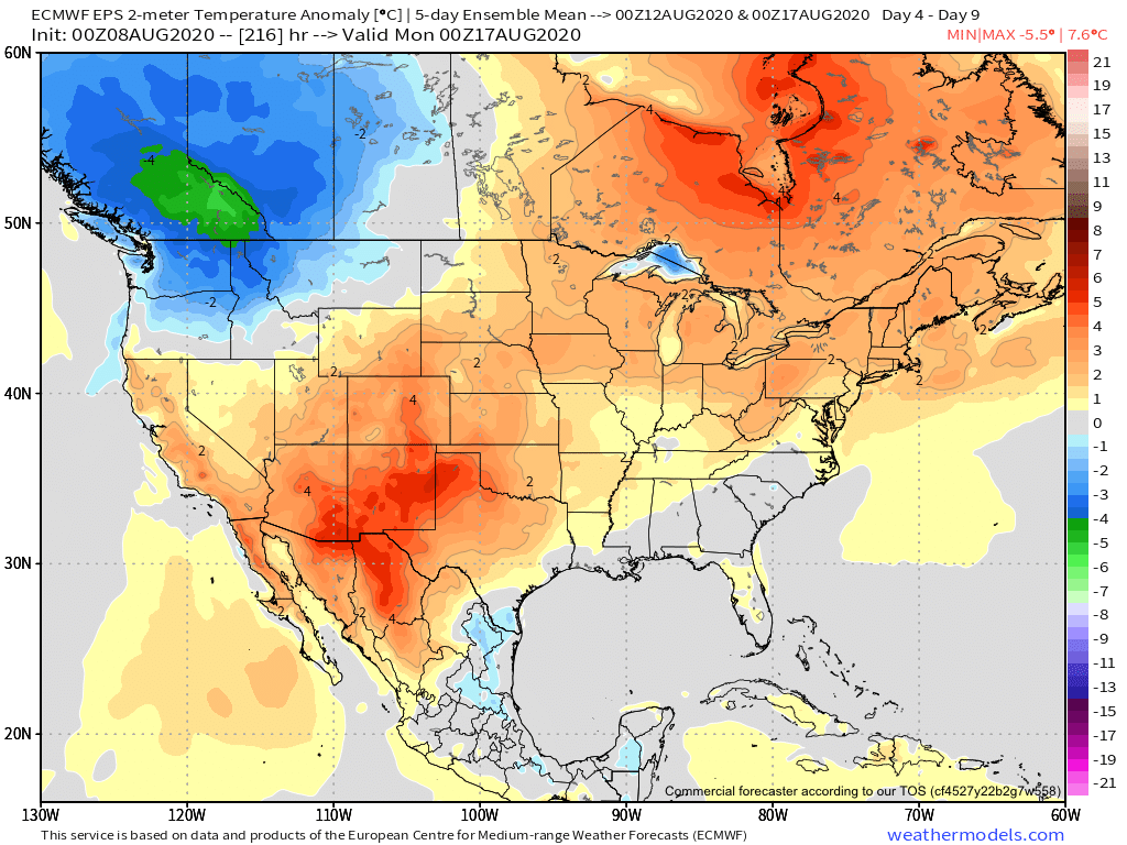
While excessive heat isn’t expected, a much warmer and more humid pattern will emerge (compared to late) through the forecast period.
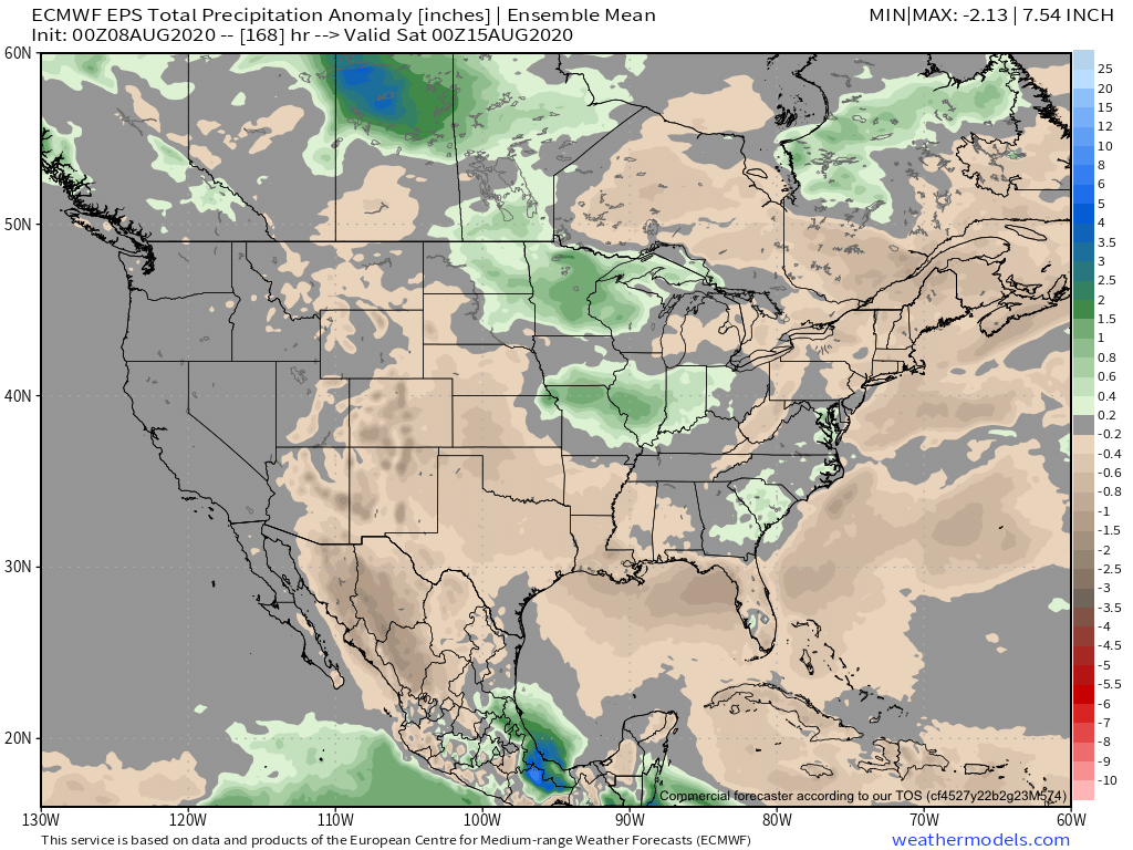
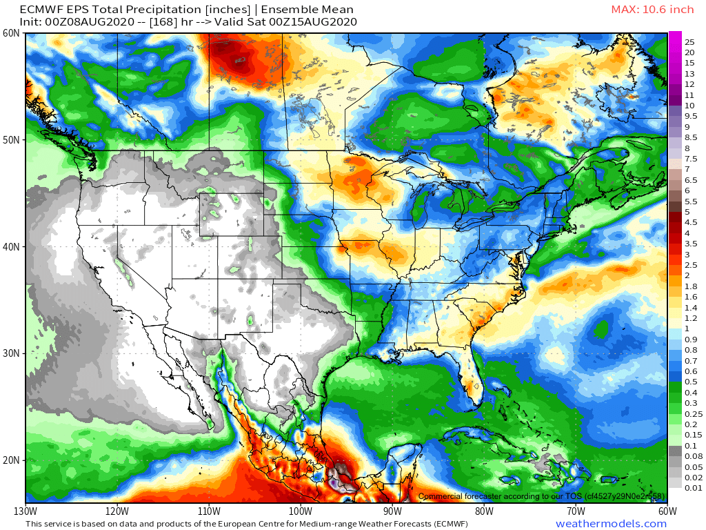
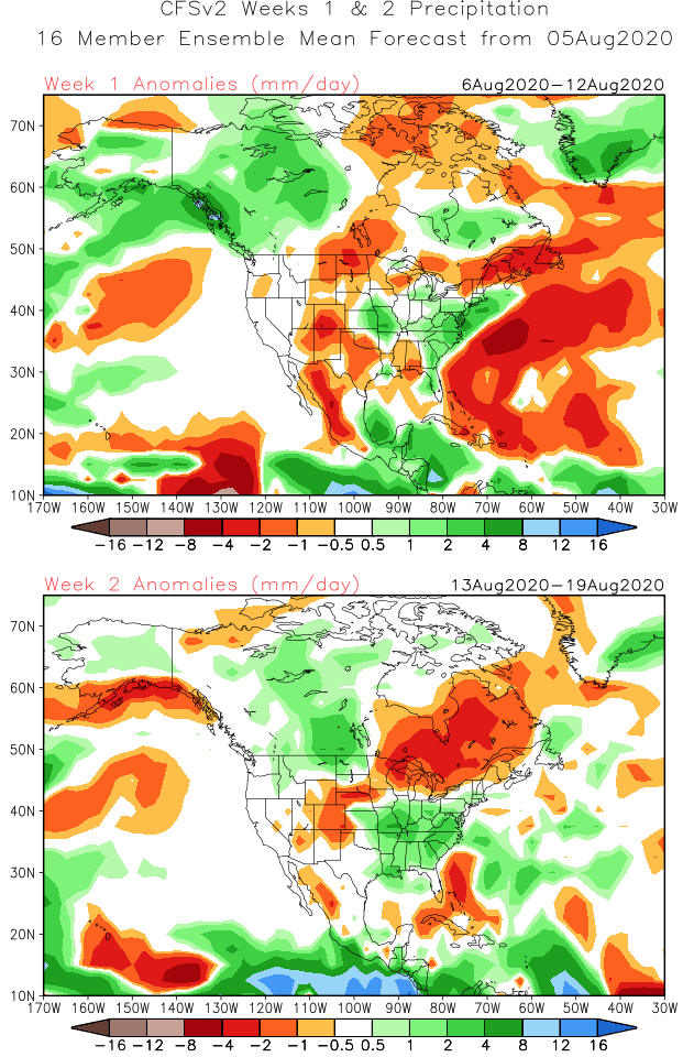
Above average rainfall is expected from the upper Midwest into the Ohio Valley.
Clusters of storms should lead to between 1” and 2” of rain for central Indiana by next Saturday morning. There will be locally heavier amounts.
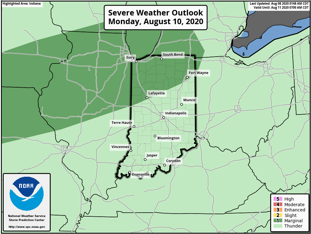
Storm complexes will have embedded strong to severe thunderstorms this week. Biggest concern will be the potential of damaging straight line winds.

Forecast Period: 08.08.20 through 08.15.20

While we still have one more day of relatively low humidity, that will begin to change for the second half of the weekend. Temperatures will climb to seasonal and above normal levels this week as well. In short, after an unusually refreshing open to August, true late-summer conditions will build back into the region. Rain and storm chances will also increase substantially throughout the week. Some storm complexes will include heavy rain and embedded stronger storms. From this distance it’s hard to pinpoint what day will have the best chance of storms, but agriculture, turf management, and anyone with outdoor plans should prepare for multiple days with weather impacts through the upcoming week. Given the nature of this setup, some communities will likely deal with excessive rain totals by this time next week (unfortunately the pattern still looks wet beyond the period), with widespread 1” to 2” totals across the board.

Long Range Update: Changes Loom For Mid-Late August…

August has opened unseasonably cool and refreshing. There’s even been a hint of fall to the air the past couple of mornings. The refreshing feel will continue as we wrap up the week, but changes for the warmer and muggier loom.

The first (5) days of the month are running more than 5° below normal for Indianapolis.

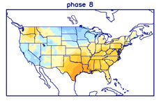
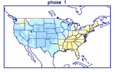
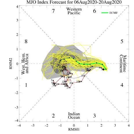
Even before we look at the respective model data for mid-late August, it’s important to note we’re basing our long range forecast (this was a byproduct in building our August Outlook) on the MJO heading into Phases 8 and 1 over the next couple of weeks. These are considerably warmer and wetter phases for our region and that fits our idea. Perhaps of interest beyond the next couple of weeks is that the amplitude should continue into Phases 2-3 as we wrap the month and head into early September. That, combined with other factors, will likely serve to re-ignite the tropics to close the month and head into the 1st month of meteorological fall.

Note the warmer, wetter look associated with Phases 8 and 1:

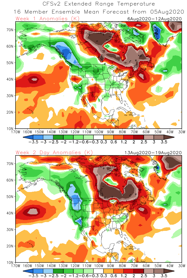
The CFSv2 is following this trend in the latest Weeks 1-2 outlook:

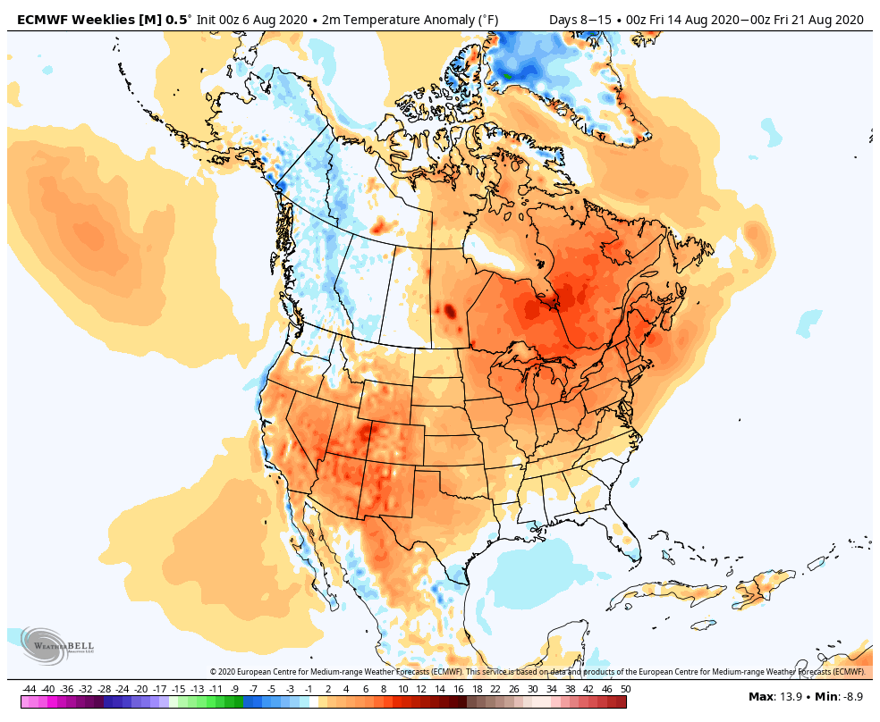
The latest European Weeklies are also in and paint a similar picture:

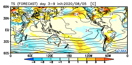
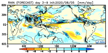
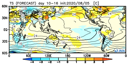
The JMA Weeklies follow a like path, but not as wet as we believe Week 2 will be:

The thinking here is that while we’re certain to warm in the mid-late month period, we still aren’t talking about any sort of prolonged periods of excessive heat. The more active upper air pattern will result in multiple frontal boundaries and disturbances scooting through the region to serve up more widespread, organized rain and storm chances. In short, we feel good about the rebound coming that should result in a month, as a whole, close to average in the temperature department with above to well above normal rainfall.