Weekly #AGwx And Severe Weather Outlook…

Forecast period: 07.01.19 through 07.08.19

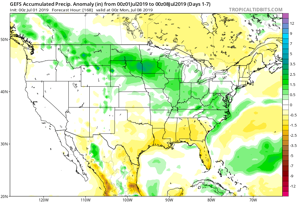
7-Day Precipitation: Rainfall is expected to run above average through the period.
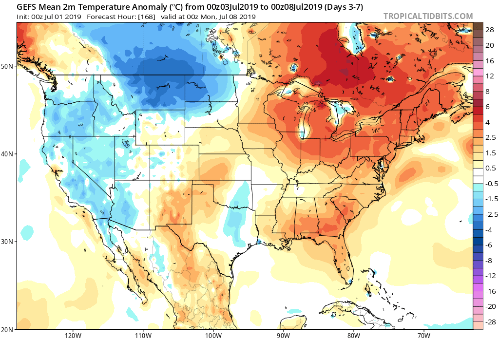
7-Day Temperature Outlook: Temperatures are expected to run above average through the period.
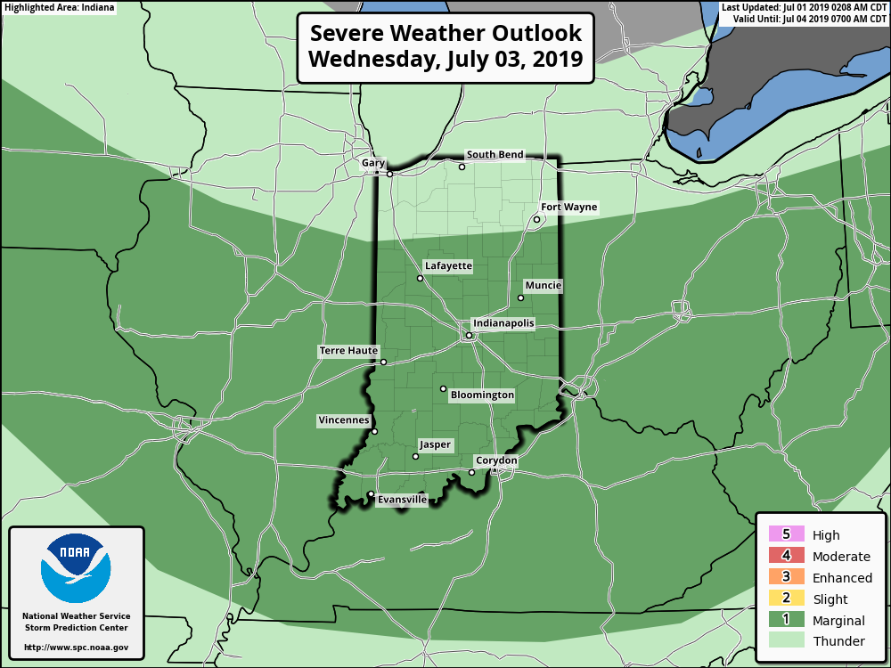
Severe Outlook: A ‘Marginal’ risk of severe weather is hoisted from the Storm Prediction Center for Wednesday, July 3rd. Otherwise, widespread organized severe weather isn’t anticipated.
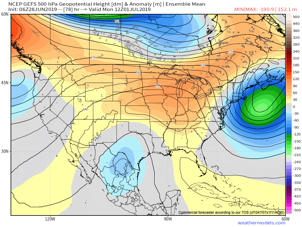
Summary: A “rinse and repeat” pattern will spell daily chances of showers and thunderstorms along with an overall continuation of our hot and humid pattern from last week. Coverage of thunderstorms will likely be greatest Tuesday afternoon and evening, Wednesday afternoon and evening, and Friday evening into Saturday morning. Widespread rainfall amounts through the period should top out between 1″ and 1.5″, but there will be locally heavier amounts where stronger storms track. (A wholesale pattern change back to much cooler conditions is still on deck just past this forecast period).

Permanent link to this article: https://indywx.com/weekly-agwx-and-severe-weather-outlook-5/

VIDEO: “Rinse And Repeat” Through The Short-Term; Updated Long Range Thoughts…

You must be logged in to view this content. Click Here to become a member of IndyWX.com for full access.  Already a member of IndyWx.com All-Access?  Log-in here.

Permanent link to this article: https://indywx.com/video-rinse-and-repeat-through-the-short-term-updated-long-range-thoughts/

VIDEO: Weekend Discussion And Looking Ahead To Wetter, Cooler Times…

You must be logged in to view this content. Click Here to become a member of IndyWX.com for full access.  Already a member of IndyWx.com All-Access?  Log-in here.

Permanent link to this article: https://indywx.com/video-weekend-discussion-and-looking-ahead-to-wetter-cooler-times/

Sizzling Temperatures Dominate Headlines Into The Holiday…

It’s been an easy going summer so far from a heat and humidity standpoint, but that’s all about to change as we move through the upcoming week leading up to Independence Day.

An upper level ridge will dominate our pattern into the middle of next week.

This will serve to eliminate widespread rain and thunderstorm coverage across central Indiana during the short-term. (Isolated to widely scattered coverage is all we can expect this weekend into the early part of next week). Additionally, the hottest air of the summer season thus far is on deck. We’re expecting 5 of the upcoming 7 days to feature highs around the 90 degree mark. Humidity will also build into early next week with overnight lows not falling lower than the lower 70s some mornings.

As we look ahead, the upper ridge will begin to break down by the middle of next week and with that will come increasing chances for better coverage of showers and thunderstorms.

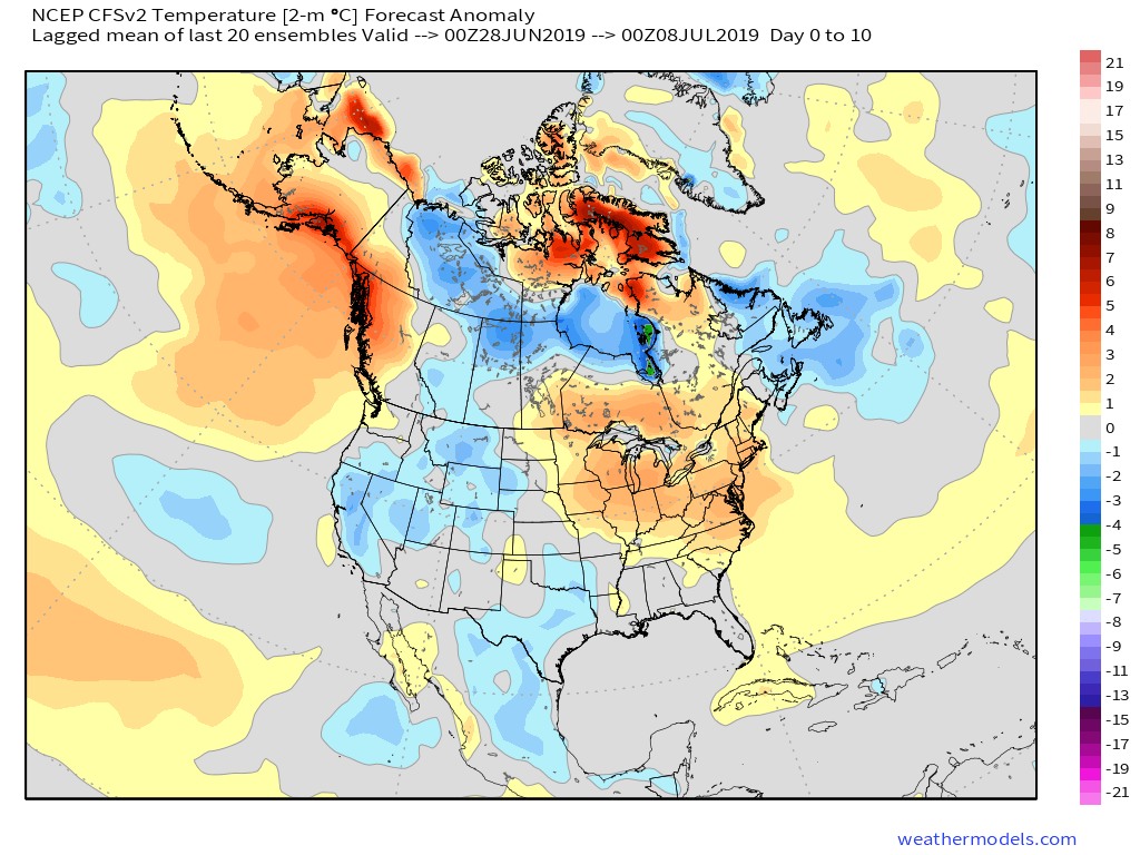
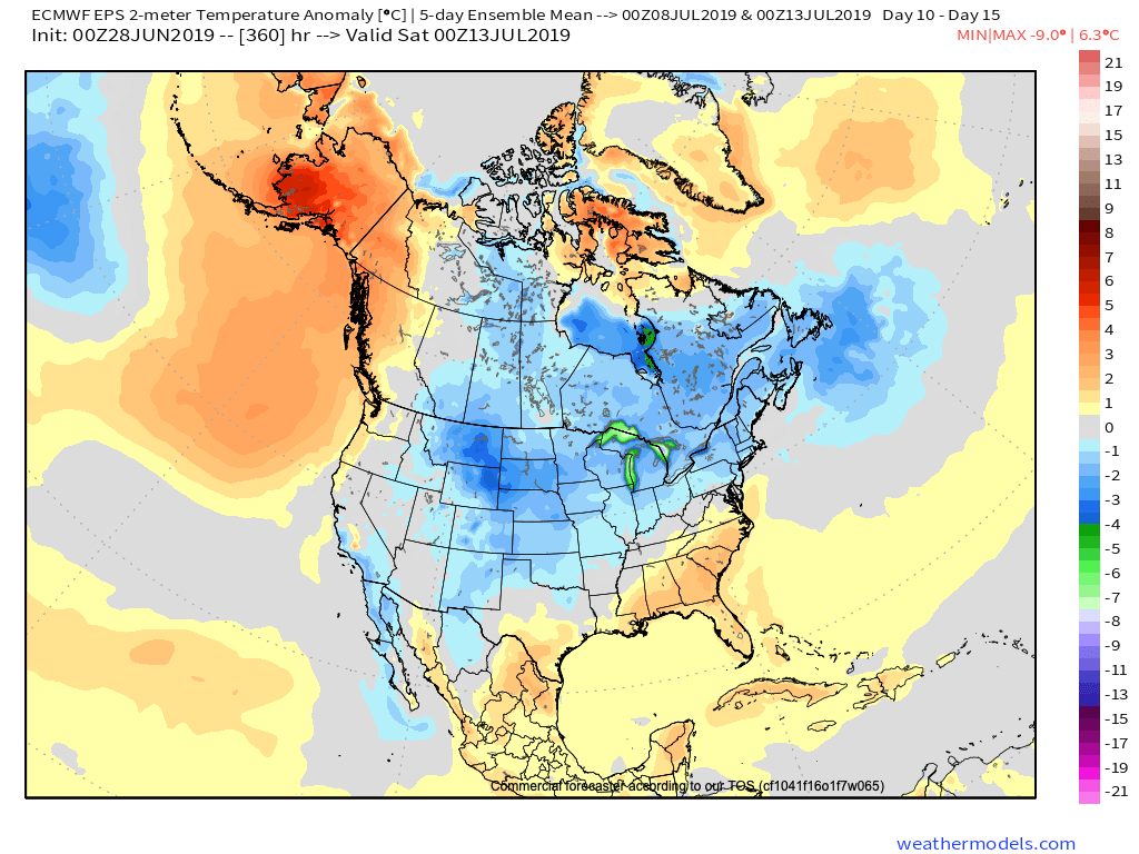
Longer term, we still anticipate the pattern to progress in a manner that will allow cooler and wetter conditions to return before mid-month. Our reasoning can be found in last night’s video update in case you missed it!

Permanent link to this article: https://indywx.com/sizzling-temperatures-dominate-headlines-into-the-holiday/

VIDEO: Heat And Humidity Carry The Day Now; Looking Ahead To The 1st Half Of July…

You must be logged in to view this content. Click Here to become a member of IndyWX.com for full access.  Already a member of IndyWx.com All-Access?  Log-in here.

Permanent link to this article: https://indywx.com/video-heat-and-humidity-carry-the-day-now-looking-ahead-to-the-1st-half-of-july/