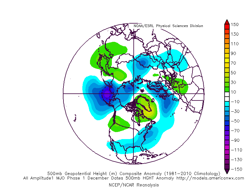
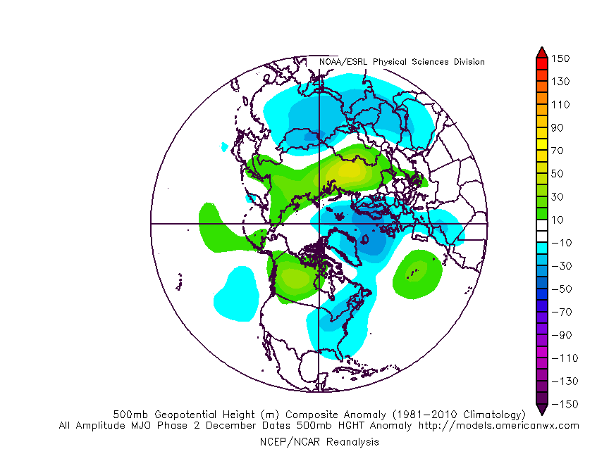
‘Mean’ Early Winter Pattern Showing Itself Over The Next Couple Weeks?
Updated 11.11.22 @ 7:46a
As we “set the stage” over the upcoming week, we must start with the strong cold front that will push east across the state this afternoon. Temperatures will begin to fall by mid to late afternoon before “dropping off the cliff” tonight. 🙂 I think we’ll be hard pressed to experience temperatures anywhere close to the relative mild air that we’re still enjoying the morning, at least through Thanksgiving.
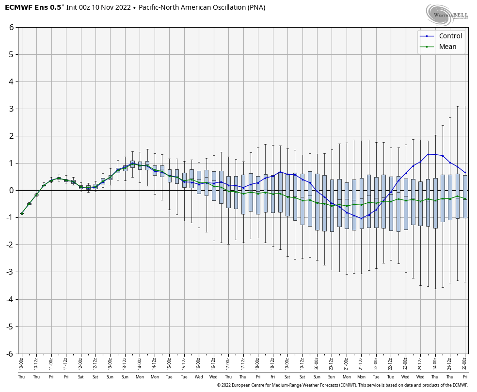
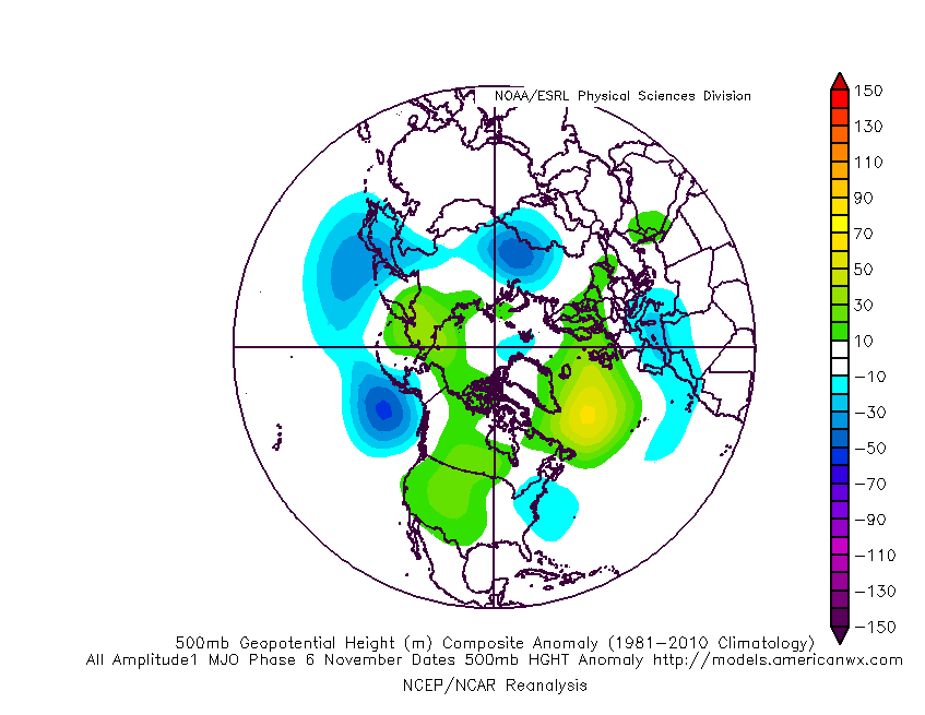
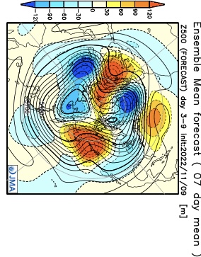
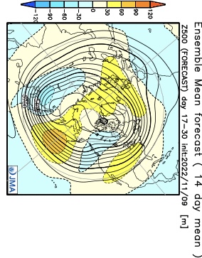
This is all part of the leading edge of a significantly colder pattern moving east, and this is a pattern that has staying power. Considering how warm we’ve been to open November, it’ll come as a shock to some.
Perhaps more interesting to some are the prospects of wintry precipitation. There’s growing indication that the primary storm track may, indeed, take a favorable position for early wintry “fun and games” across the Ohio Valley, including central Indiana over the course of the next couple weeks as a whole.
The first feature is one that has a looks of an “over-achiever” and it’ll arrive as early as tomorrow morning. This is thanks to a couple features: a surface wave trailing the base of an eastward progressing trough, along with a piece of upper level energy diving southeast across the upper Midwest and western Great Lakes. The 2 features will allow an expanding area of snow to blossom across the state (focusing on central and eastern Indiana) tomorrow morning and this should accumulate in spots, especially on grassy areas: 0.50” to 1.5”. Despite relatively warm ground temperatures, the expected timing of the snowfall and intensity should be enough to generate the aforementioned accumulation numbers for places like Indianapolis, Muncie, Greensburg, and surrounding areas.
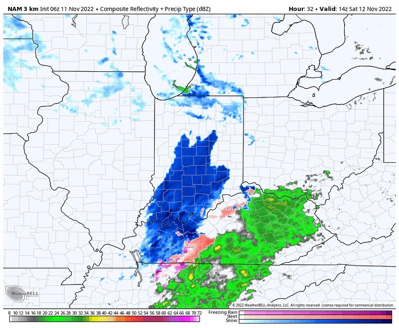
“System snow” will then be followed by wind-whipped scattered lake-enhanced snow showers Saturday evening. These will be most numerous across northern IN but a few will sneak into central and southern IN as well.

If this isn’t enough for you snow lovers out there, keep an eye on 2 systems next week: Tuesday into Wednesday and again late next weekend.
I still don’t think modeling has come around to the correct idea of handling the southern stream energy associated with the Tuesday system. While there isn’t any reason to get overly cute with this one from this distance, we’ll want to keep close attention for the chance of additional accumulating snow potential Tuesday.

Finally, at least from this distance, it appears as if there may be some additional chances of wintry precipitation Thanksgiving week.
Not a bad pattern by November standards, huh? That is at least if you’re a winter weather fan…