
You must be logged in to view this content. Click Here to become a member of IndyWX.com for full access. Already a member of IndyWx.com All-Access? Log-in here.
Permanent link to this article: https://indywx.com/2020/04/06/video-timing-out-potential-strong-storms-prolonged-chilly-pattern-on-the-horizon/
Apr 05
VIDEO: Briefly Warmer And Unsettled; Reasons Behind The Significant Pattern Change Ahead…
You must be logged in to view this content. Click Here to become a member of IndyWX.com for full access. Already a member of IndyWx.com All-Access? Log-in here.
Permanent link to this article: https://indywx.com/2020/04/05/video-briefly-warmer-and-unsettled-reasons-behind-the-significant-pattern-change-ahead/
Apr 04
Weekly #AGwx And #Severe Outlook…
The first Saturday in April can only mean one thing and that’s the return of our weekly #AGwx and Severe Weather Outlook. Similar to last year, this will be posted each Saturday morning through the month of September.
Weekly Highlights:
I. A strong area of low pressure will move in off the Pacific and provide heavy rain across CA, including intense mountain snow Sunday through Wednesday.
II. A strong cold front will move through the Midwest and Ohio Valley Wednesday into Thursday. This will result in a drastic change from late spring like temperatures to more winter-like by late next week.
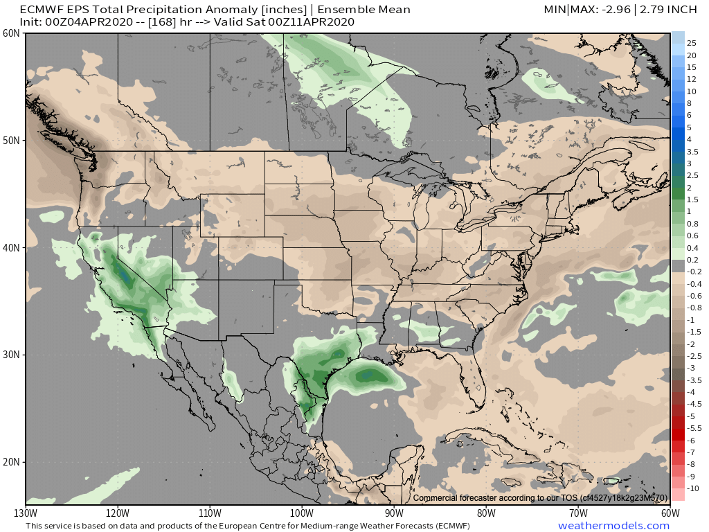

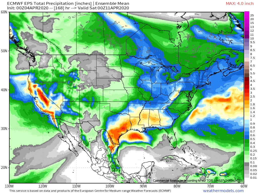
More specific to central Indiana, we’ll have 3 weather makers to track over the upcoming week:
This afternoon- A cold front will pass through the state without much fanfare. A few showers are possible here and there, but some won’t see a drop of rain and those that do can expect only light amounts.
Tuesday through Thursday- Scattered showers and thunderstorms will impact the area during this time frame as a couple of fast moving disturbances track across the Ohio Valley. A strong cold front will cross the region Thursday with a band of rain followed by windy and much colder air to close the week and head into next weekend.
Week 2 (April 11th-18th) trends are for much colder air along with the prospects of light mixed rain/ snow showers at times. There’s the threat of a stronger system late in the Week 2 time frame that we’ll continue to monitor.
Permanent link to this article: https://indywx.com/2020/04/04/weekly-agwx-and-severe-outlook/
Apr 03
VIDEO: Gorgeous Friday; Scattered Saturday Showers And A Big Mid-Month Cold Shift…
You must be logged in to view this content. Click Here to become a member of IndyWX.com for full access. Already a member of IndyWx.com All-Access? Log-in here.
Permanent link to this article: https://indywx.com/2020/04/03/video-gorgeous-friday-scattered-saturday-showers-and-a-big-mid-month-cold-shift/
Apr 02
VIDEO: The Sun Returns; Weekend Chatter And Updated Long Range Thoughts…
You must be logged in to view this content. Click Here to become a member of IndyWX.com for full access. Already a member of IndyWx.com All-Access? Log-in here.
Permanent link to this article: https://indywx.com/2020/04/02/video-the-sun-returns-weekend-chatter-and-updated-long-range-thoughts/
Apr 01
VIDEO: Improving Conditions; Turning More Unsettled Next Week…
You must be logged in to view this content. Click Here to become a member of IndyWX.com for full access. Already a member of IndyWx.com All-Access? Log-in here.
Permanent link to this article: https://indywx.com/2020/04/01/video-improving-conditions-turning-more-unsettled-next-week/
Mar 31
VIDEO: Improving Weather After Today; Early April Pattern Drivers…
You must be logged in to view this content. Click Here to become a member of IndyWX.com for full access. Already a member of IndyWx.com All-Access? Log-in here.
Permanent link to this article: https://indywx.com/2020/03/31/video-improving-weather-after-today-early-april-pattern-drivers/
Mar 30
Much Needed Time To Dry Out…
It was another wet and stormy weekend across central Indiana. Heaviest rain fell north of the city, itself, with several areas recording over 3″.
March, as a whole, has been wet. Officially, Indianapolis is running 1.36″ above average, month-to-date.
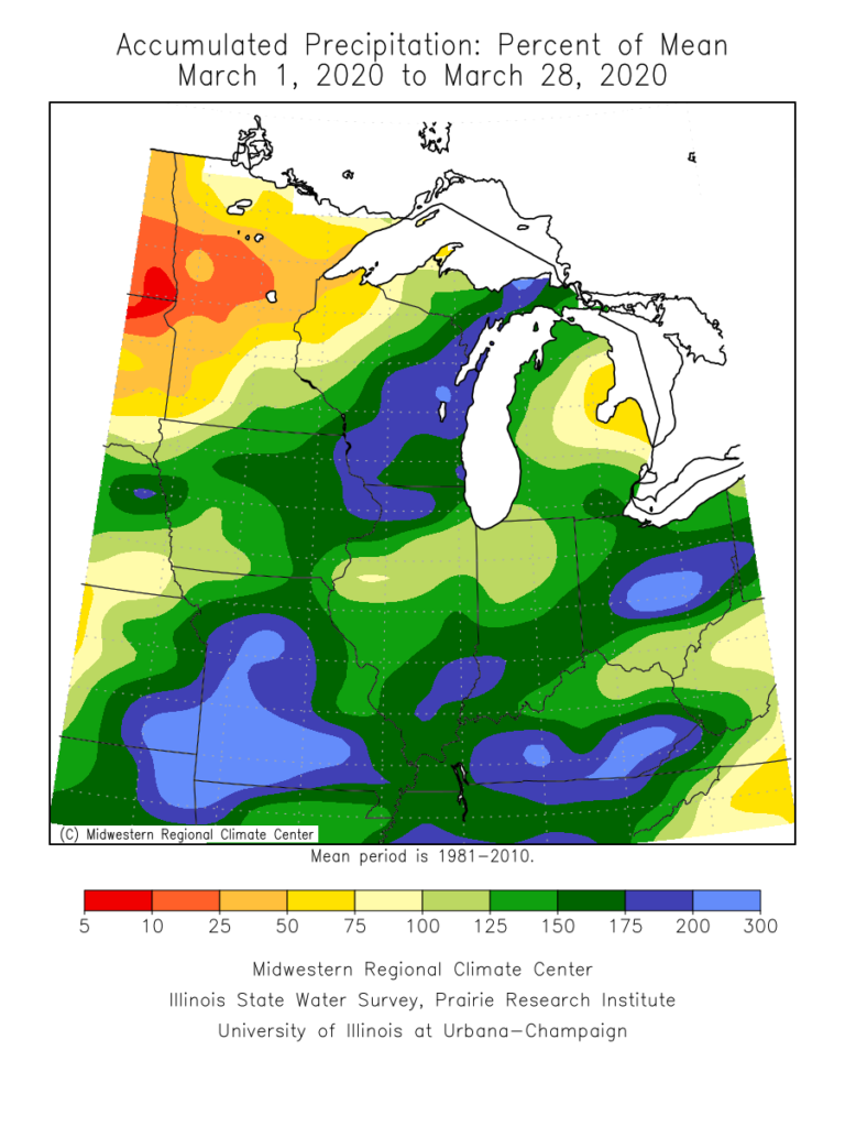
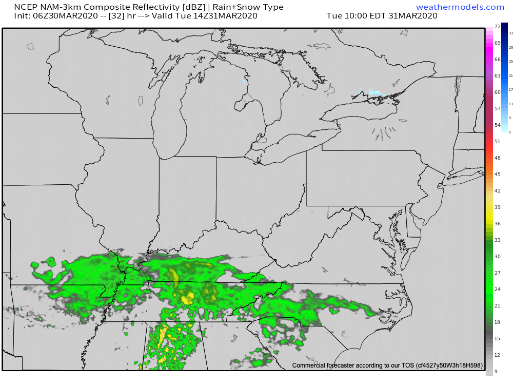
Thankfully, the upcoming week will feature much calmer and quieter conditions. In fact, we should make it through the entire work week without a drop of precipitation. A system will pass well to the south of central Indiana Tuesday.
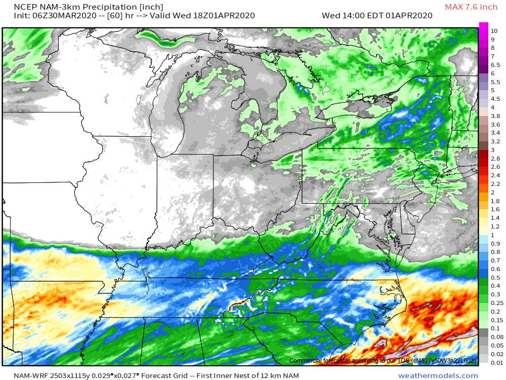
Drier than average conditions will prevail this week, giving our immediate area much needed time to let saturated soils slowly soak up that water from the weekend.
The next opportunity for showers and thunderstorms will arrive on the scene Saturday. From this distance, this looks to be a rather moisture starved front, but we’ll keep close eyes on things as we get closer to the weekend.
Permanent link to this article: https://indywx.com/2020/03/30/much-needed-time-to-dry-out/
Mar 29
VIDEO: Cooler, But Time To Dry Out…
You must be logged in to view this content. Click Here to become a member of IndyWX.com for full access. Already a member of IndyWx.com All-Access? Log-in here.
Permanent link to this article: https://indywx.com/2020/03/29/video-cooler-but-time-to-dry-out/
Mar 28
VIDEO: Short-Term Update On Tonight’s Severe Weather/ Flooding…
You must be logged in to view this content. Click Here to become a member of IndyWX.com for full access. Already a member of IndyWx.com All-Access? Log-in here.
Permanent link to this article: https://indywx.com/2020/03/28/video-short-term-update-on-tonights-severe-weather-flooding/
IndyWx.com 7-Day Outlook: Central Indiana

Central Indiana Radar
