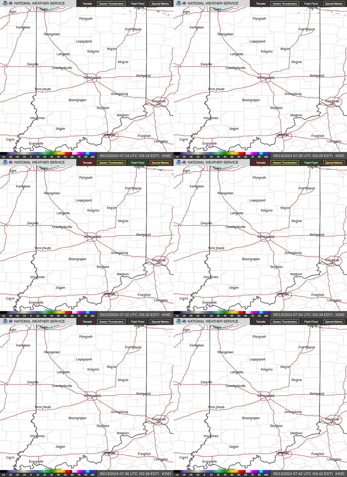
Rain Ends As Snow This Evening; Freezing Rain Transitions To Rain New Year’s Morning…

Rain is on the move east early this morning and should overspread most of central Indiana prior to sunrise or shortly after.

Highs will top out in the mid-upper 40s this afternoon before beginning to fall into the 30s by late afternoon. Guidance has also begun to trend more bullish on a narrow band of wet snow developing across central Indiana around, or just after, sunset as the colder air filters into the region. For now, we’ll target between 6p and 10p for the changeover to wet snow across central Indiana. While we’re still not forecasting significant snowfall, a quick 1”-2” isn’t out of the question before drier air builds in by mid to late evening. We’ll continue to keep a close eye on things.

New Year’s Eve will feature a cloudy, cold, but dry day. Our secondary area of low pressure will lift north New Year’s Day, spreading moisture back into the state. Cold air will be entrenched early and allow this precipitation to take the form of freezing rain predawn Friday, continuing for a few hours before switching over to plain ole rain. Before this transition takes place, a light glaze (.1 or less) is possible across most of central Indiana (mainly along and north of a Terre Haute to Bloomington to Cincinnati line).

I’m still working on getting a video uploaded from the road. Fingers are crossed I’ll have success later this morning. Make it a great Wednesday!

Permanent link to this article: https://indywx.com/2020/12/30/rain-ends-as-snow-this-evening-freezing-rain-transitions-to-rain-new-years-morning/

Rain Returns Tomorrow; Latest Thoughts On New Years…

First and foremost, thank you so much for your understanding of the “off schedule” posts this week. I’m trying to keep our normal content flowing but have run into a couple of issues getting our daily video content to load, per usual. I’ll keep working on it and appreciate your patience as we update from the road!

At any rate, we really don’t have any significant changes to our ongoing forecast to wrap up the year. Clouds have increased through the day and have begun to lower and thicken this afternoon. These clouds will eventually yield rain before dawn into Indianapolis, itself.

Rain will continue through Wednesday afternoon across central Indiana- totaling 0.50” to 1” for most.

Precipitation may end as a brief period of wet snow after sunset Wednesday, but this shouldn’t be a big deal as the significant moisture will be pushing south as the cold air arrives.

New Year’s Eve, itself, should be dry and cold with temperatures holding around freezing.

A secondary area of low pressure will lift north into the western Ohio Valley New Year’s Day. This will allow widespread moisture to return predawn Friday. While there’s a chance of a brief mix of sleet and freezing rain at the onset, this shouldn’t be a big deal. A cold rain will fall throughout New Year’s Day (great day for a full slate of college football)!

An additional 1” to 1.5” is a good bet Friday as the secondary low moves through.

Permanent link to this article: https://indywx.com/2020/12/29/rain-returns-tomorrow-latest-thoughts-on-new-years/

Warm, Wet Highlight January 2021 Outlook…

As we get set to flip the calendar to a new year, does the similar pattern that dominated in December roll over to January? Yes and no. While we anticipate the relative warmth to remain intact through the majority of the month, the storm track looks to aim itself through the Ohio Valley region for the better part of the month, helping generate above to well above average precipitation.

Forecast Models: Note the consensus on the warm (relative to average, of course), wet theme.

CFSv2

JMA

European

The MJO is becoming increasingly interesting. The European modeling wants to keep the MJO in the “null” phase, but the American modeling is showing the MJO get more amplified with time as we go through early-mid January.

Despite favorable phases for cold (AO and NAO), the Pacific pattern (namely strongly positive EPO) is wrecking havoc on any sort of cold trying to get involved in the pattern with any sort of staying power. Unless we can get a disruption of the polar vortex (big “IF” at this point), the relative warmth should continue to dominate.

We think this will be an active month with multiple storms of significance impacting the Ohio Valley. Despite our thinking that relative warmth will dominate, remember January, climatologically speaking, is the coldest month of the year. It would only take 1 or 2 of the expected storm systems tapping into only marginally cold air to generate more meaningful wintry weather and this is something we’ll keep an eye on in the weeks ahead.

Permanent link to this article: https://indywx.com/2020/12/29/warm-wet-highlight-january-2021-outlook/

12/29/20 Weather Bulletin: One More Dry Day Ahead Of An Extended Period Of Unsettled Conditions…

Enjoy The Sun While You Can…Low clouds will slowly but surely clear out of here during the overnight and early Tuesday morning. This will allow for lows to go “deep” into the 20s for most central Indiana communities Tuesday morning. Unfortunately, just as soon as skies clear, our next storm is brewing off to the west.

Clouds will increase Tuesday evening- eventually giving way to rain Wednesday. This is “part 1” of the multi-faceted storm system that’s taking aim on the region as we close out 2020. Rain will overspread the state early Wednesday (pre-dawn NW, around sunrise for immediate central IN, and early-mid afternoon across SE parts of the state). Eventually the front will settle south, placing us in the colder zone Wednesday night and Thursday morning. With the colder air will also come a period of drier conditions. By this point low pressure will begin to organize along the NW Gulf Coast before lifting north. As this takes place, the same frontal boundary that settles south of our region will lift back north as a warm front New Year’s Day. Rain (potentially heavy at times) will accompany this event, continuing into early Saturday. (The bulk of our 7-day forecast rainfall amounts will fall New Year’s Day, itself). Overall, model consensus is warmer today than the past couple of days, but we’ll keep a close eye on things.

Colder, drier air will filter back into the region next weekend…

Permanent link to this article: https://indywx.com/2020/12/28/12-29-20-weather-bulletin-one-more-dry-day-ahead-of-an-extended-period-of-unsettled-conditions/

12/28/20 Weather Bulletin: Dry, Chilly Weather Monday-Tuesday; Questions Abound With Our NYE Storm…

Pre-Dawn High; Sunshine Returns…Our high temperature Monday will take place right after midnight for most of central Indiana. Daytime temperatures will remain steady in the low-mid 30s for most of the region as clouds slowly give way to a return of the sunshine. This is all thanks to a cold front that slipped southeast across the state last night. (Same boundary that helped generate some light showers across the region Sunday evening).

High pressure will continue to dominate our area Tuesday, but “trouble” lurks off to the west. Clouds will begin to increase during the 2nd half of the day and a few light showers (potentially mixed with snow across northern parts of the state) will arrive on the scene late in the evening as a warm front lifts north.

Midweek will feature unsettled weather conditions, but there are more questions than answers currently and fine tuning will take place over the next 24-48 hours. Solutions currently range from mild/ wet to a mixed bag, including ice and snow. In short, stay tuned… The one constant that remains is that this will be a more significant storm for central and western portions of the OHV than our Christmas Eve event. That said, details pertaining to precipitation type/ amounts are anyone’s guess from this point.

Chilly, dry conditions will return by the weekend.

Permanent link to this article: https://indywx.com/2020/12/27/12-28-20-weather-bulletin-dry-chilly-weather-monday-tuesday-questions-abound-with-our-nye-storm/

A Word On Our New Year’s Eve Storm…

There will be great wailing and gnashing of teeth in the days ahead over the operational model changes that are sure to come with our New Year’s Eve storm. Knowing what’s to come with the operational guidance, let’s take a step back and look at the bigger picture. Below, I’ve included a couple of images of the 500mb pattern (upper level air pattern) from the GFS ensemble. The first image is dug out from the archives and features our Christmas Eve storm. The second image is the storm in front of us for New Year’s Eve.

Christmas Eve
New Year’s Eve

There are several differences, but the most notable one to us is the strength and orientation of the blocking high to our northeast. Secondly, the sharp wave break (deep trough) is not part of our NYE storm like it was Christmas Eve. While there are other ingredients in the pot to stir, these are two significant differences that lead us to believe the upcoming NYE storm will be a big-hitter for the Mid West and portions of the western OHV, as opposed to the more progressive event east of here Christmas Eve. The pattern will allow a couple of features to slow down and strengthen (amount to be determined, but perhaps significantly so) to create a more “revved up,” western storm to close out the year.

From this distance, Indianapolis and central Indiana is at least in the game for wintry fun NYE, but there will be much fine tuning ahead.

More later today! Enjoy your Sunday!

Friendly reminder I am traveling this week to see family and loved ones. Posts will come daily, but our regular schedule will be off because of this. Merry Christmas!

Permanent link to this article: https://indywx.com/2020/12/27/a-word-on-our-new-years-eve-storm/

VIDEO: Tricky System Dialed Up To Close Out The Year…

We’re tracking a complex storm system to close out the year. Unlike it’s predecessor, I think central and western portions of the OHV are at an increased risk of wintry…

You must be logged in to view this content. Click Here to become a member of IndyWX.com for full access.  Already a member of IndyWx.com All-Access?  Log-in here.

Permanent link to this article: https://indywx.com/2020/12/26/video-tricky-system-dialed-up-to-close-out-the-year/

VIDEO: Walking Through The Pattern To Close Out The Year And Open Up 2021…

From our home to yours, we wish you a very merry Christmas and a joyous holiday season!

You must be logged in to view this content. Click Here to become a member of IndyWX.com for full access.  Already a member of IndyWx.com All-Access?  Log-in here.

Permanent link to this article: https://indywx.com/2020/12/25/video-walking-through-the-pattern-to-close-out-the-year-and-open-up-2021/

Long Range Update: Merry Christmas Eve From Our Home To Yours…

Right off the bat, the theme we want to drive home is that while active, the pattern ahead isn’t overly cold. Cold enough, at times, to create some wintry “fun and games?” Absolutely, but we’re not forecasting a widespread period of sustained cold over the next few weeks.

While the teleconnections favor durable cold from an AO/ NAO perspective…

…the EPO isn’t as favorable, and will likely present some warmer times in between the colder shots.

As it is, note how the blocking really matures from Week 1 to Week 2.

Week 1
Week 2

Undoubtedly this will force a stormy period into (at least) the first half of January. At times, initially, Great Lakes cutters are possible, but as we get closer to NYE and into the 1st week of January, itself, I think that’s the window that we really need to focus on for the potential of 1, if not 2, OHV winter storm threats.

The longer range, weekly models are trending in an interesting direction for the 1st full week of January, “marrying” the moisture with the cold, locally.

CFSv2

Precipitation
Temperatures

The JMA Weeklies are also intriguing from an upper air perspective (very similar to what the other ensemble data shows for the similar time frame).

While we’re not ready to unveil our January Outlook just yet (that will come next week), I think we’ll need to start keeping a closer eye on the MJO by the middle and latter part of the month. As things stand now, it appears we may sneak into Phase 2 to open the month (favors cold, locally) before potentially getting into a milder Phase 3 towards the end of the first week.

As things stand now, once the brief arctic intrusion gets out of here this weekend, temperatures will go into a “yo-yo” mode next week as (2) storm systems impact the area between Sunday and Wednesday. The date to keep a closer eye on for potential wintry impacts is more towards Jan. 2-4 time frame as the blocking gets into better position/ matures.

We’ll be back with a video update later today. Until then, Merry Christmas Eve from our family to yours.

Permanent link to this article: https://indywx.com/2020/12/24/long-range-update-merry-christmas-eve-from-our-home-to-yours/

VIDEO: Short-Term Update As The Arctic Front Blows Through The Region…

A skinny line of showers/ embedded thunder pose a brief heavy rain and wind threat towards 9p-11p (west to east). We also look at fresh data for Christmas…

You must be logged in to view this content. Click Here to become a member of IndyWX.com for full access.  Already a member of IndyWx.com All-Access?  Log-in here.

Permanent link to this article: https://indywx.com/2020/12/23/video-short-term-update-as-the-arctic-front-blows-through-the-region/

IndyWx.com