This evening’s client video will have our complete long range update included within. This morning we wanted to review the latest JMA Weeklies and look ahead to at least a “hint” of what November could provide:
In short, the evolution from Week 1 to Weeks 3-4 shows the anomalous cold spreading east, but modifying from the mid-winter like conditions presently across the northern Plains by the time the chill reaches the eastern seaboard.
Week 1
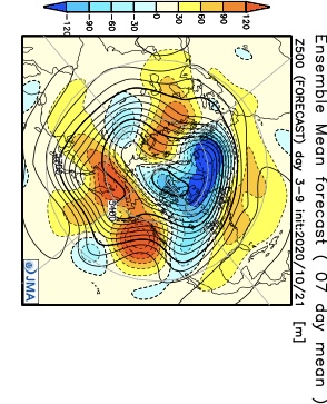

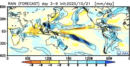
Notice how the pattern is expected to remain wetter than normal during the Week 1 period.
Week 2 features the chill spreading east and a drier pattern evolving. We agree with both.
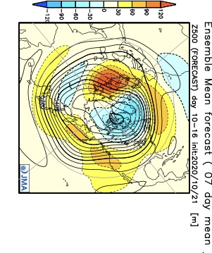
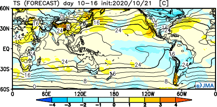
By the time we get to the Weeks 3-4 period, a northeastern ridge is shown to develop with the ‘mean’ trough position settling into the West. I would expect future updates to trend warmer across the East during this time frame and, conversely, colder across the West.

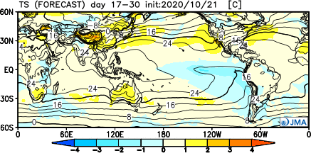
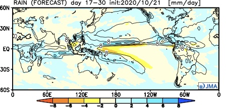
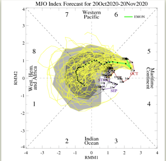
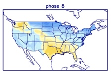
By this time, of course, we’ll be into November. While our complete November Outlook will be posted next week, I believe it’ll be an average to slightly above average month from a temperature perspective, locally (after the chilly start). Some of this has to do with the expected MJO movement and likelihood for the ‘mean’ trough to be favored across the West.


More later tonight! Have a great Thursday!
