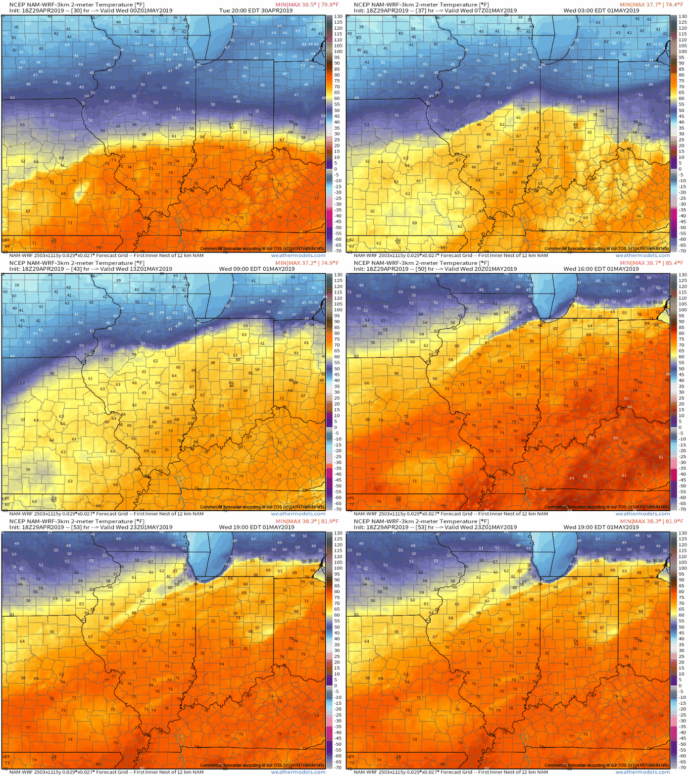
A frontal boundary remains draped across central Indiana and will remain in place through Tuesday evening before lifting north as a warm front. A large temperature spread can be expected on either side of this frontal boundary tomorrow (40s and 50s north of the front to near 80 south of the boundary). More specific to Indianapolis, itself, it’s very possible temperatures may vary by as much as 10-15 degrees from northern and southern ‘burbs tomorrow afternoon.

Before the front lifts north as a warm front, a ripple of energy will move along the boundary Tuesday morning, helping to lead to more concentrated shower and thunderstorm activity before sunrise.
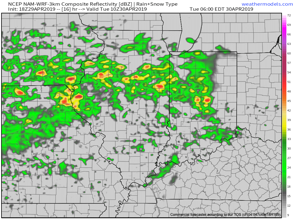
Showers and thunderstorms will remain in our forecast Tuesday afternoon into the evening hours, especially for western and northern parts of the region. As the warm front lifts north, we’ll notice a significantly warmer and increasingly moist air mass Tuesday night into the day Wednesday.
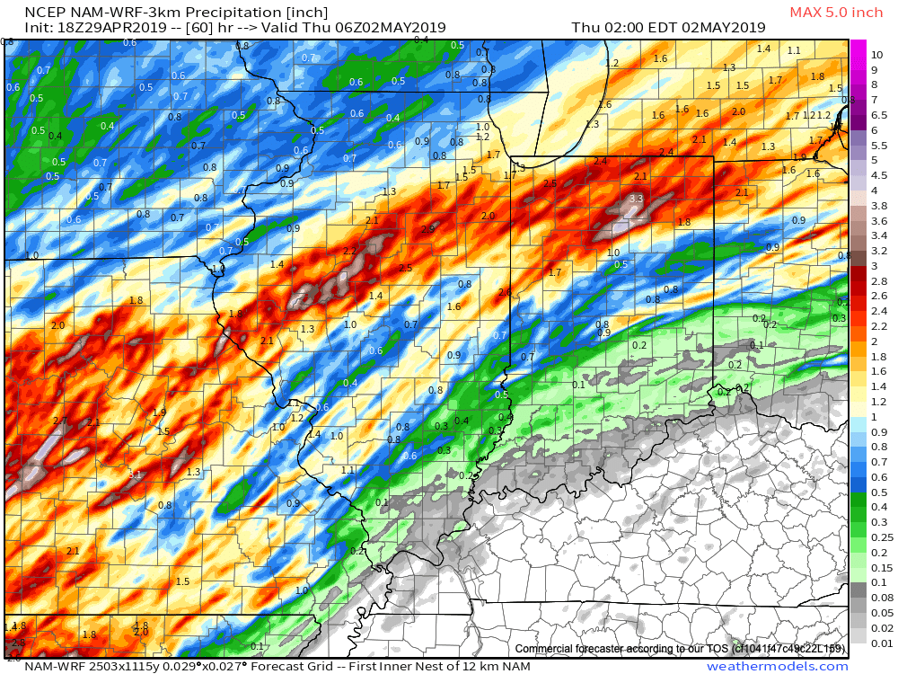
Guidance suggests additional rainfall amounts between now and Wednesday night will check in between 0.50″ and 1″ for the majority of central Indiana, with heavier amounts of 1″ to 3″ for northern Indiana.
A couple of additional disturbances will move northeast across the region as we close out the work week and head into the weekend. As such, we expect additional periods of more widespread shower and thunderstorm activity to occur Thursday (image 1 below) and Friday evening into the first part of Saturday (especially across the southern half of the state- image 2 below).
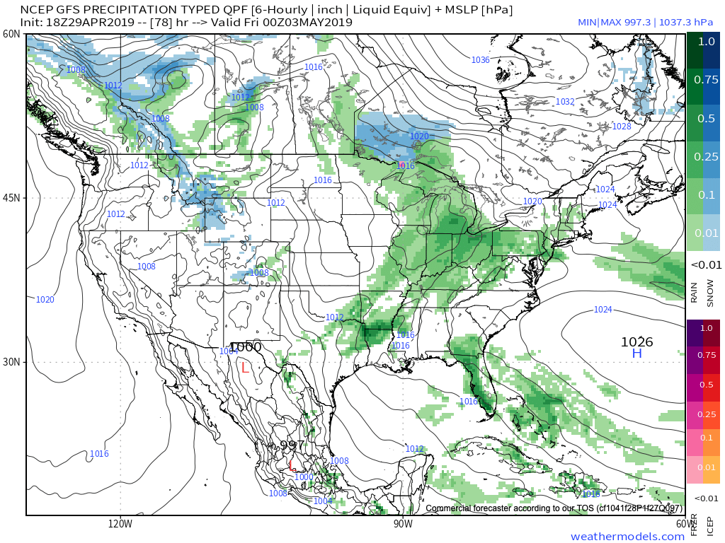
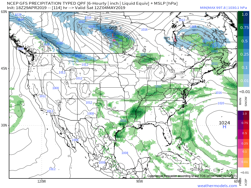
Guidance as of Monday evening suggests central Indiana could accumulate an additional 0.50″ to 1″ in the Thursday through Saturday period with locally heavier amounts.
Looking longer term, after what should be a dry close to the weekend, rain and storms quickly return to the picture during the early parts of next week…
