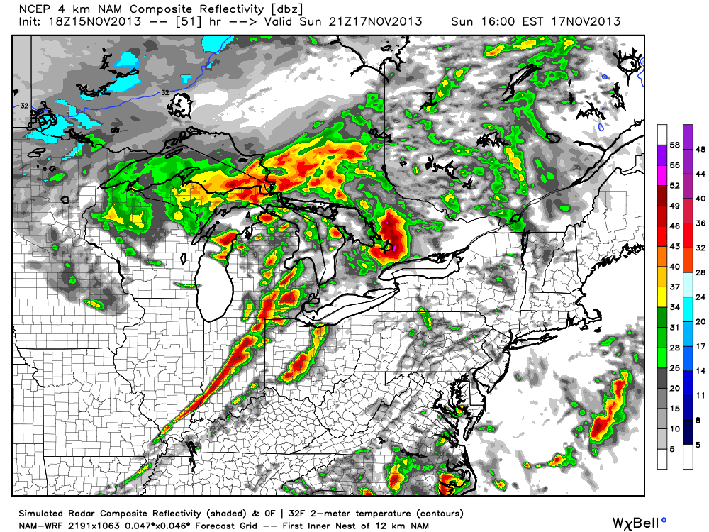
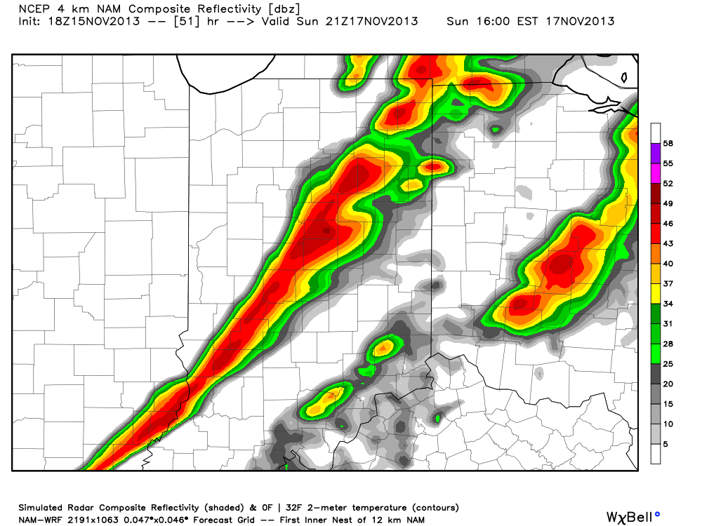
We’re zoning in on severe weather details for Sunday and have posted some simulated radar data below that may suggest what area radars look like Sunday afternoon and evening. That said, here are the quick important bullet points to remember for Sunday:
- Central Indiana appears to be under fire for severe weather potential at any point Sunday afternoon and we bracket the hours from 12p until 8p for the “greatest threat” of severe weather across the region.
- Initially, we’re concerned with the potential of individual severe cells that may promote quick spin-up tornadoes. While this could impact any parts of central Indiana, it’s the area from south-central to east-central Indiana that we’re most concerned for this potential as of now.
- All of central Indiana will be the focal point for the possibility of a damaging straight line wind event as a potent squall line crosses the state from west to east Sunday afternoon and evening.
- Rainfall amounts may approach 1″, but it’s the severe weather (straight line wind and tornado threat) that’s of greatest concern.
Latest high-resolution simulated radar shows the squall line moving across the state Sunday afternoon and evening. This is courtesy of the Weatherbell Analytics model suite. Stay tuned for much more information and be sure to follow us on Twitter (@indywx) for updates on the go!
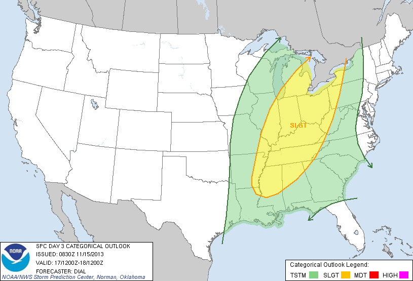
The latest outlook from the Storm Prediction Center highlights Sunday’s severe weather threat. As you can see below, this storm will impact a large portion of the Mississippi and Ohio River Valleys so please take note and keep abreast of the latest weather conditions should you have travel plans Sunday.


