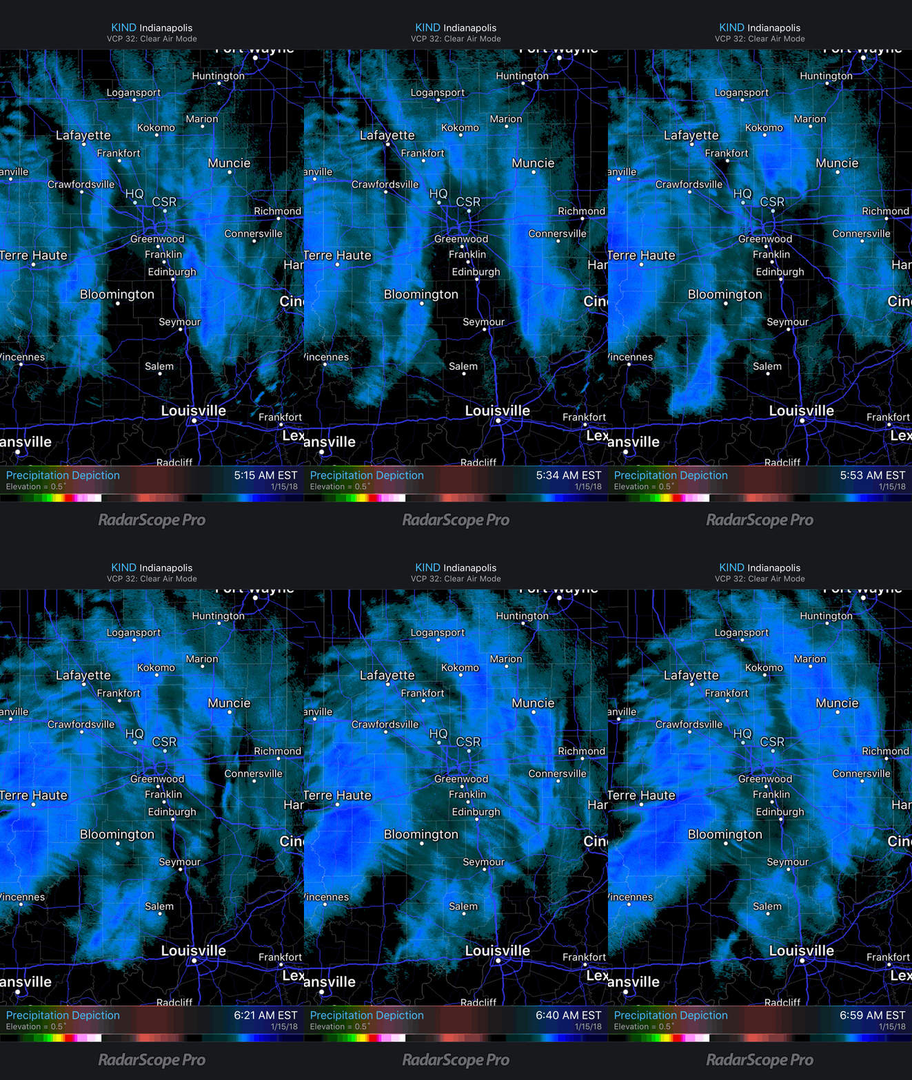
Bursts of moderate to heavy snow will work across the metro during the next couple hours. This will lead to significant drops in visibility and serve to mess up roadways even more than they currently are. If you don’t have to travel through the morning hours we recommend staying home and allowing road crews time to get things cleaned up.
Most of the steady accumulating snow will be over with by late morning and we’ll just be left with scattered snow showers through the afternoon hours. Perhaps the bigger story by then will be significant blowing and drifting snow as gusty westerly winds help usher in colder air. If your travels include country roads, or north-south oriented highways, plan on considerable blowing and drifting snow this afternoon and evening.
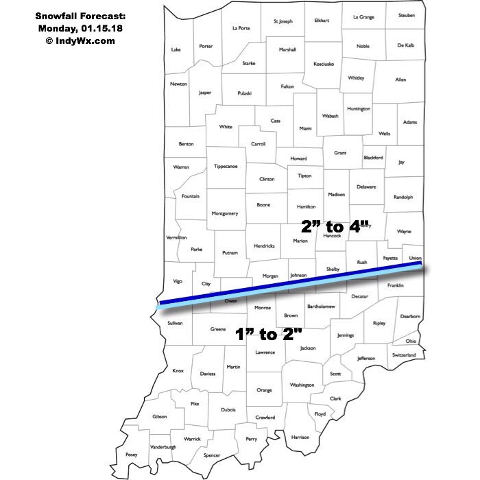
We have no changes to our going snowfall forecast with this system.

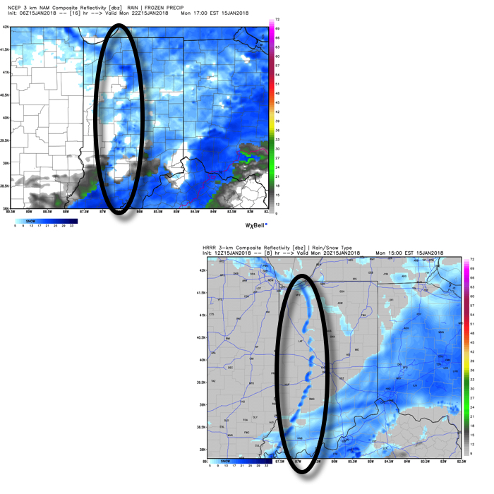
Finally, as the arctic front sweeps through the state this afternoon, it’ll likely kick up some intense, blinding snow bursts. While these won’t last long, they’ll blast through during the evening rush and will serve to dramatically lower visibility. We note high resolution models are picking up on these snow bursts on forecast radar products.
 We’re left tonight with bitterly cold conditions that will continue to grip the region through midweek. Most of us Tuesday morning will be below zero. A moderating trend will develop by late week, continuing through the weekend!
