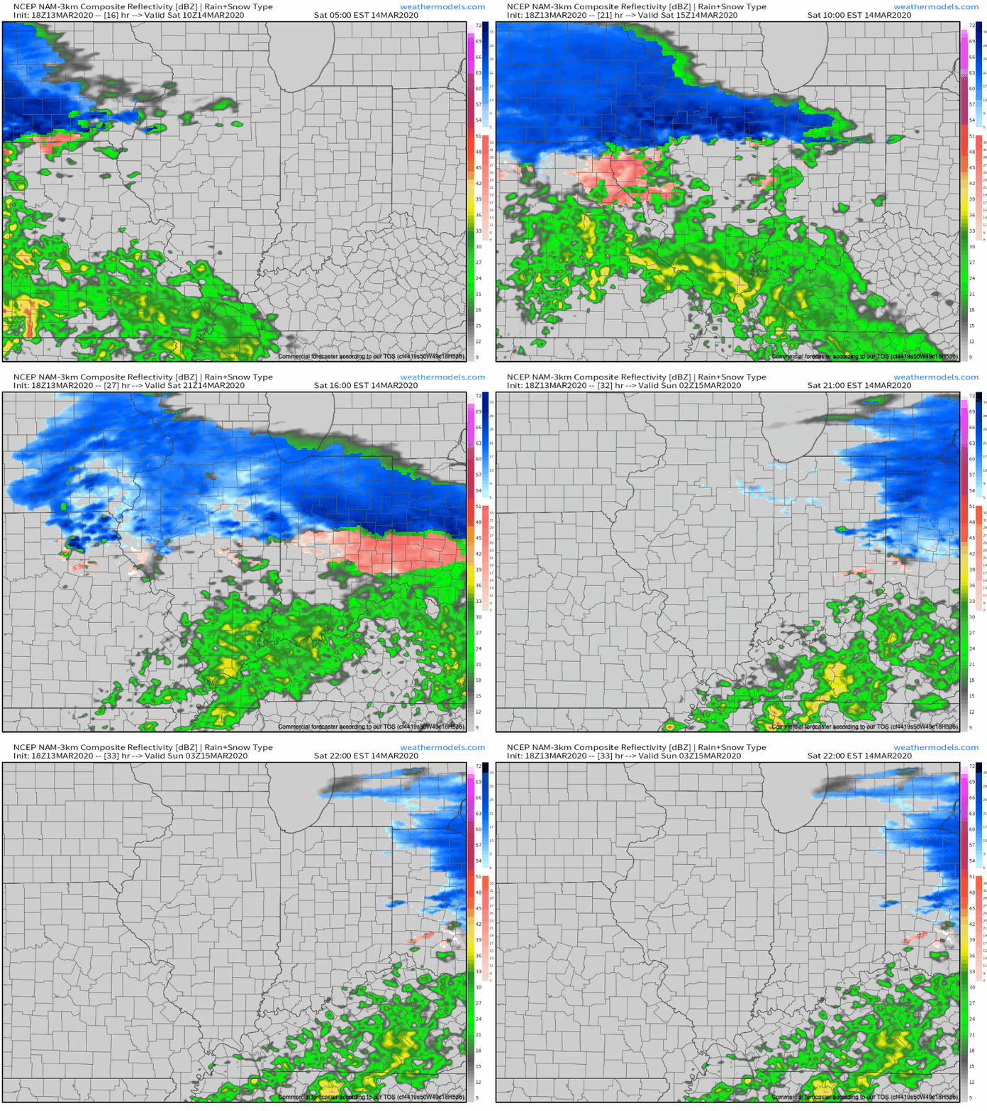
Saturday morning will open with a lowering and thickening cloud canopy and moisture will soon follow. We expect precipitation to arrive first on the scene across north-central Indiana (between 8a and 10a) and likely fall predominantly as wet snow. Further south (closer to Indianapolis), a mixture of rain and snow is expected to develop between 11a and noon. All rain is anticipated across southern parts of the state.

Once the precipitation arrives, it’ll set up shop for the better part of the rest of the day. It won’t be until closer to the 7p to 9p timeframe that we’ll begin to see the mixture of rain and snow exit the state from west to east.
Temperatures will be marginally cold (lower-middle 30s) throughout the event, and we’ve also discussed the challenge of getting snow to accumulate with that increasingly high March sun angle. That said, even with marginally cold temperatures, if we can generate heavier precipitation rates, areas north of the city can expect to accumulate an inch or two of wet snow. Significant pavement impacts aren’t expected.
Here’s our snowfall forecast:

Temperatures will fall into the upper 20s to around 30 for all of central Indiana Saturday night and Sunday morning. Thankfully, high pressure will return and provide increasing sunshine for the 2nd half of the weekend. It’ll still be chilly with highs topping out in the middle 40s.
