The JMA Weeklies update every Thursday morning and this gives us another tool to look at when developing the forecast over the upcoming 3-4 weeks. Here are some highlights from the most recent update:
Week 1
The big story in Week 1 is the surge of tropical moisture with the area of disturbed weather in the GOM (Gulf of Mexico). Unfortunately, it’s not until possibly Week 2 that remnant tropical moisture may interact with an approaching cold front to provide better rain chances here. The big story for the balance of the upcoming Week 1 period, locally, will be the heat. An unseasonably warm stretch will continue through the Memorial Day weekend and on into the middle of next week.
 Week 2
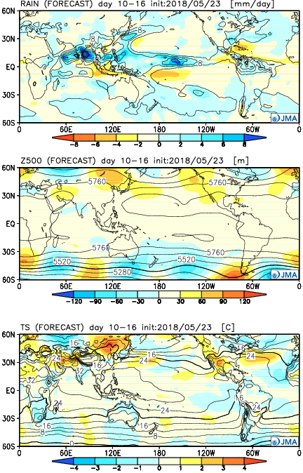
The model shows a bit of a transition in the pattern with the core of the heat shifting west during the Week 2 period. With this, there are some hints that the pattern will turn increasingly wet and stormy, locally, including a backing off of the extreme 90° heat.
 Weeks 3-4
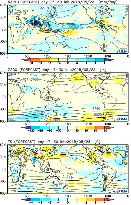
An intriguing “ring of fire” pattern develops in the Weeks 3-4 time frame. If correct, this would result in a more active pattern across the Mid West with a busy northwest flow pattern emerging. Storm complexes are notorious for tracking in a northwest to southeast fashion around the hot dome. Sure enough, the model is going with a wetter than normal pattern here. It’s hard to disagree with that given the look at 500mb.

