Updated 04.14.22 @ 5:23p
While we should see a period of significant moderation in the 8-10 day period, yet again, this is likely to only be a 2-4 day, transitional spike. This is likely a byproduct of the lag effect of a positive NAO (North Atlantic Oscillation), but notice what happens longer term: a moderately negative NAO returns as we go into next weekend and beyond.
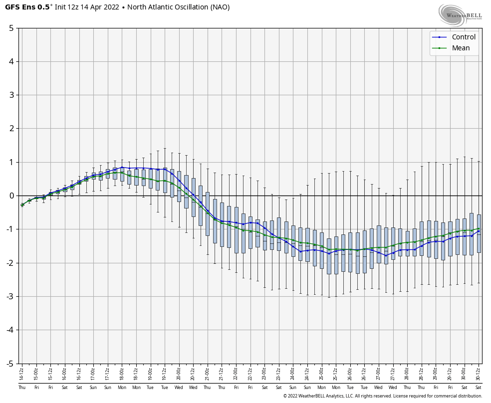
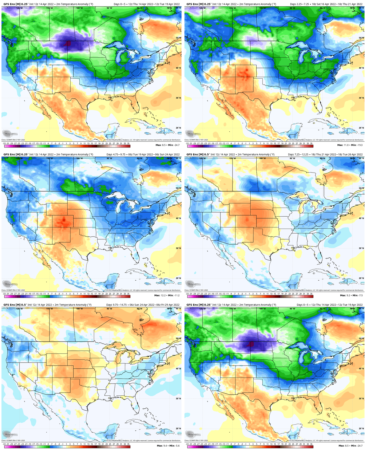
The transitional warm-up that will show itself next weekend and into early Week 2 will likely take a back seat to a renewed chilly (by late April standards) time of things before we close out the month. Ensemble guidance is picking up on this.
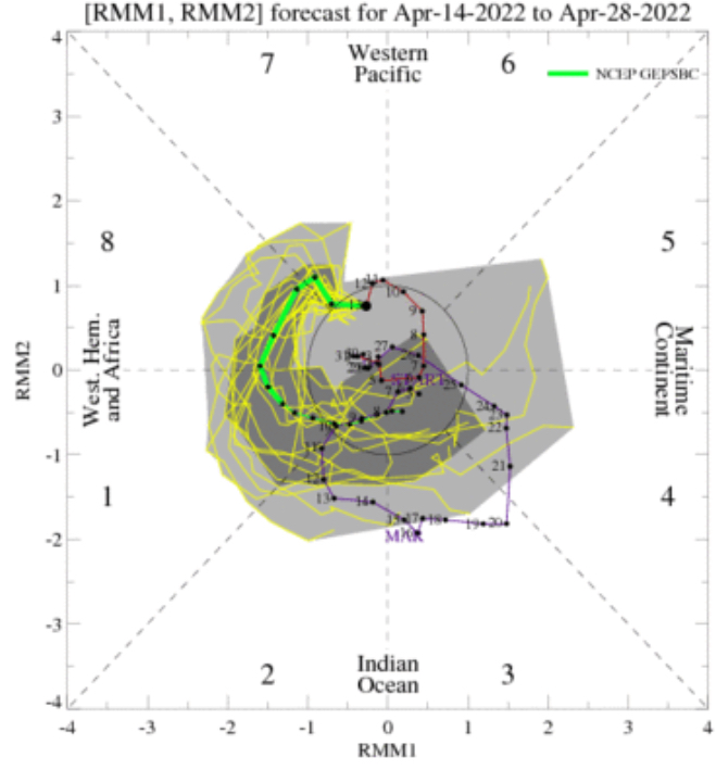
Then you add in the expected MJO movement over the next couple of weeks. Guidance shows us moving into Phase 1 late month. This is a phase in April that loves to drive more of a tendency for a trough over the East.
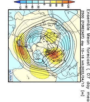
Longer range models, including the JMA and CFSv2 Weeklies, show the cooler look to wrap up the month, relative to normal. Given the alignment between the NAO and MJO, it’s hard to argue with this idea.

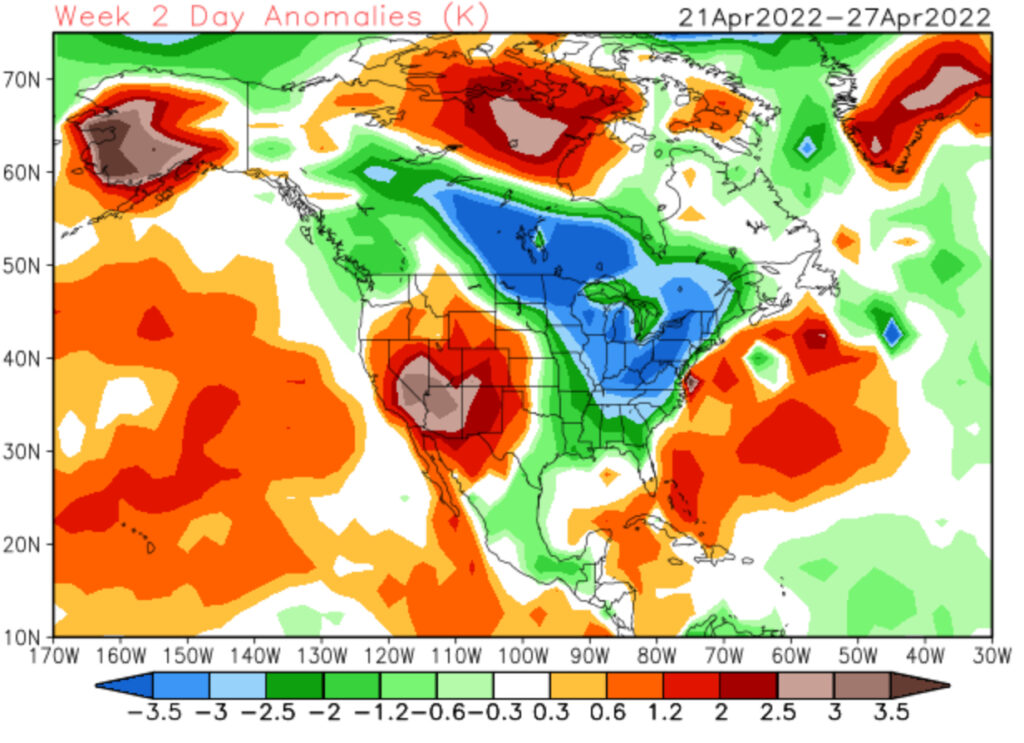
There will be more frequent opportunities for late season frost compared to normal as we wrap up April. Precipitation over the next couple of weeks should balance out close to average as a whole.
