 Highlights:
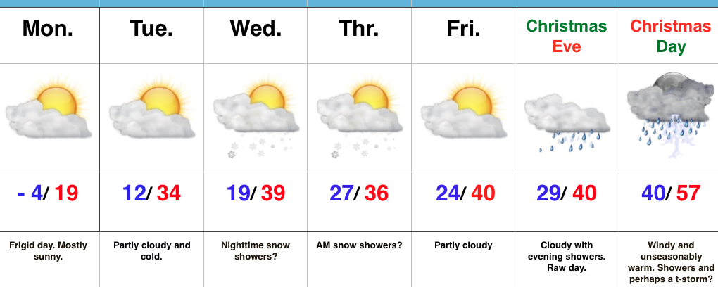
- Bitterly cold to open the week
- Mid week snow chances
- Wet Christmas
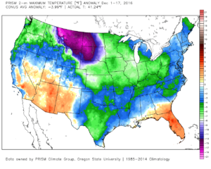
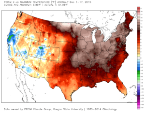
Bundle Up…The frigid theme of December 2016 continues as overnight lows dipped to between 3 and 6 below zero for most central IN reporting sites. By the way, IND is running (6) degrees below average, month-to-date. Needless to say, December 2016 (top) is nothing like December 2015 (bottom).


Though still chilly, temperatures will moderate into mid week before our next system rolls in. Clouds will increase Wednesday and give way to a chance of snow showers Wednesday night into Thursday morning as upper level energy rotates overhead. Models likely will have to play “catch up” again with this mid week system and we’ll keep a close eye on data.
As we look at Christmas, itself, a warmer regime looks to build in, courtesy of a southwest flow. This is in response to the southeast ridge flexing it’s muscle and driving a rather intense storm system northwest through the Plains states. Blizzard conditions will likely result northwest of the low track while showers and thunderstorms develop in the warm sector, including the MS Valley into the Ohio Valley. We’ll introduce a chance of thunderstorms into our Christmas Day forecast, as well.
Longer-term, a rather significant pattern shift will continue to close the month of December into early January and this will drive a shift from the bitterly cold conditions to much milder times as we open 2017. Winter fans, have no fear, the seeds are already being planted for a return to frigid and active times just beyond the new year…
Upcoming 7-Day Precipitation Forecast:
- Snowfall: Dusting – 1″
- Rainfall: 0.50″ – 1.00″
