Good morning! We’re waking up to sunshine this morning after a round of rain and thunderstorms overnight. Over 1″ of rain fell for many during the overnight period (1.53″ to be exact here at IndyWx.com HQ).
Unfortunately, skies now are clearing and this is only going to aid in the severe weather potential today, including some dangerous long-lived and strong tornadoes.
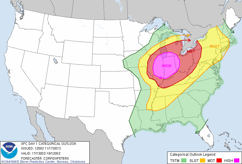
 This is a very rare November high severe weather risk day and must be taken seriously by all.
The thinking here hasn’t changed in that we feel discrete super cells develop during the late morning and early afternoon before morphing into a squall line capable of producing damaging straight line wind. With the dynamics and energy in play here, any of these super cells could spawn a tornado. Additionally, it’s possible that a few of these tornadoes could be long tracked and very strong tornadoes. The latest high-resolution simulated radar data shows this well.
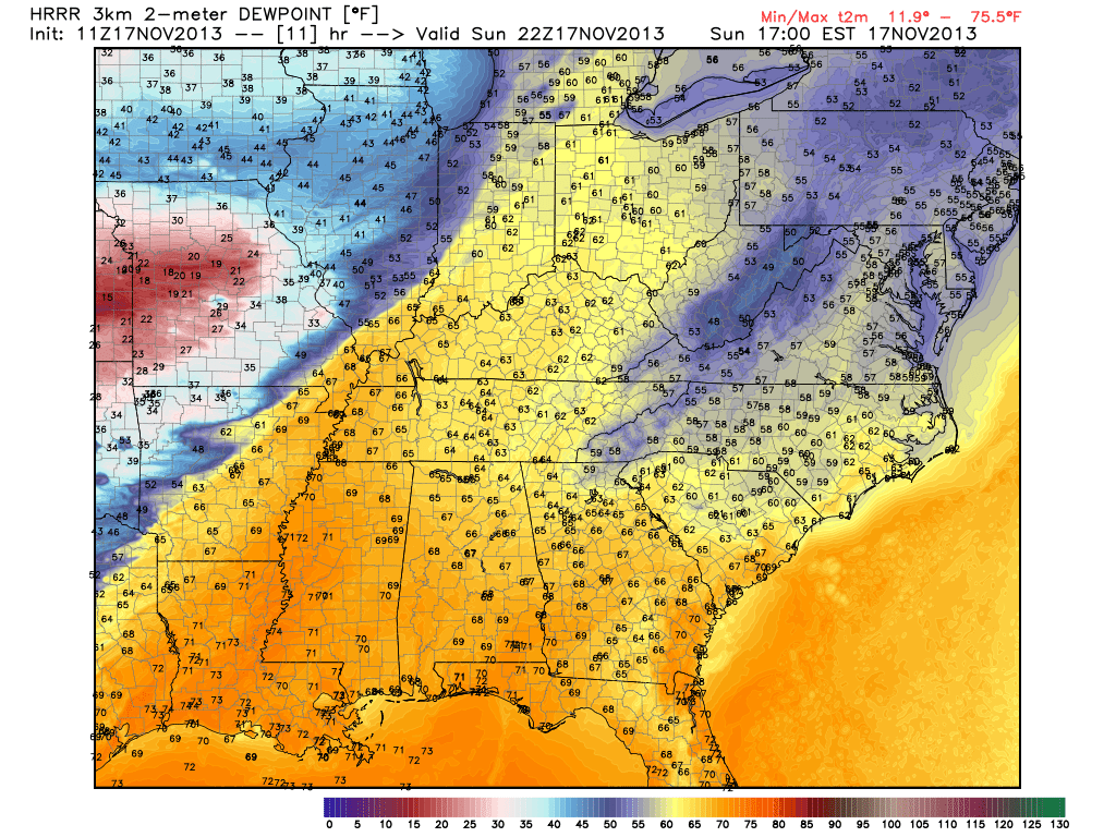
We still target a cold front passing through the region around, or just after, sunset and with this frontal passage the severe weather will come to an abrupt end. The latest HRRR data shows this well as dew points begin to crash behind the cold front, indicative a much drier, cooler, and more stable air mass arriving tonight.


