Updated 04.26.23 @ 6:44a
Today and Thursday morning are “easy peasy.” Look for dry times and plentiful sunshine today giving way to increasing clouds Thursday morning.
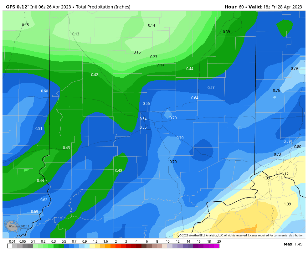
Those clouds will give way to a shield of rain lifting from our southwest to northeast late Thursday morning into Friday morning, courtesy of an initial wave of low pressure moving into the Ohio Valley.

Generally, heaviest rain within this time period will fall across southeast Indiana.

Amounts of a half inch (locally heavier) seems like a good call as far northwest as Indianapolis and surrounding ‘burbs.
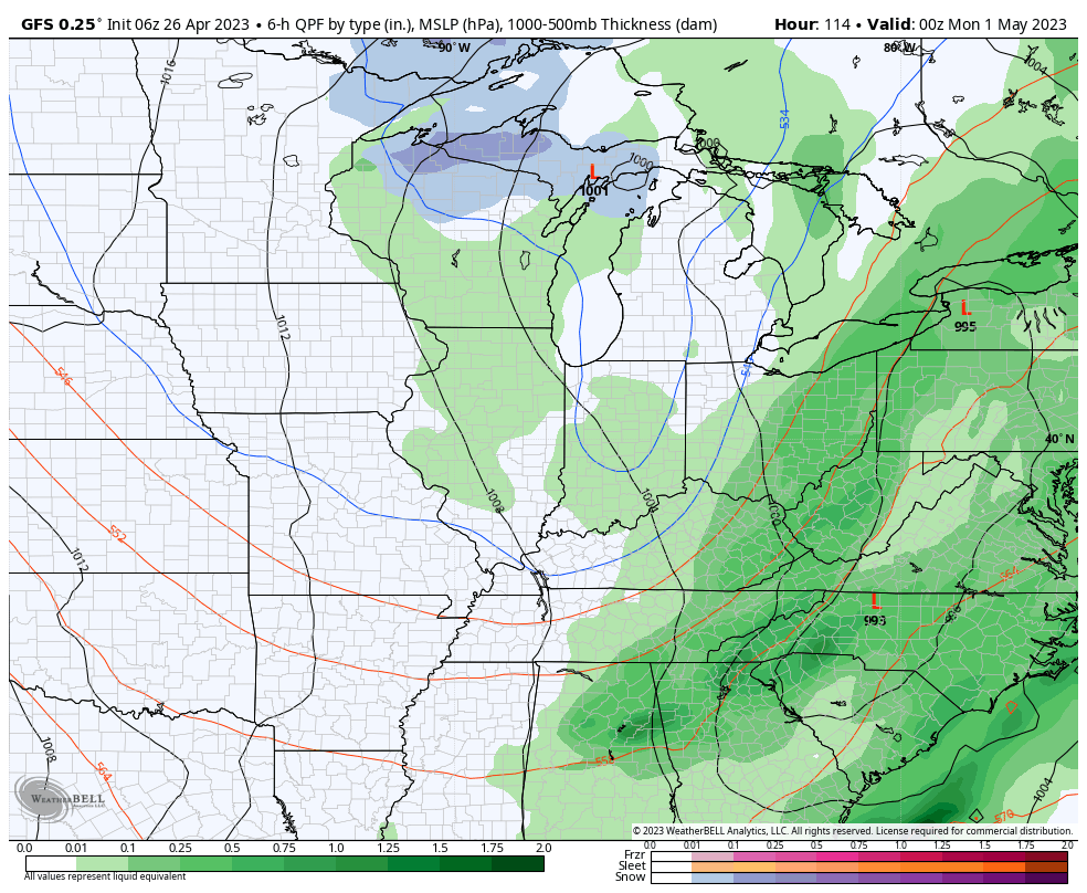
As we head into the weekend the trend will once again be a cooler one, with the emphasis placed on the 2nd half of the weekend for the coolest air and more unsettled conditions (showery nature but nothing heavy expected). 60s Saturday will be replaced with 50s Sunday. Eventually, as skies clear and winds calm, another opportunity for frost looms Monday or Tuesday morning of next week as lows fall into the middle 30s.

