Updated 12.27.23 @ 6:55a
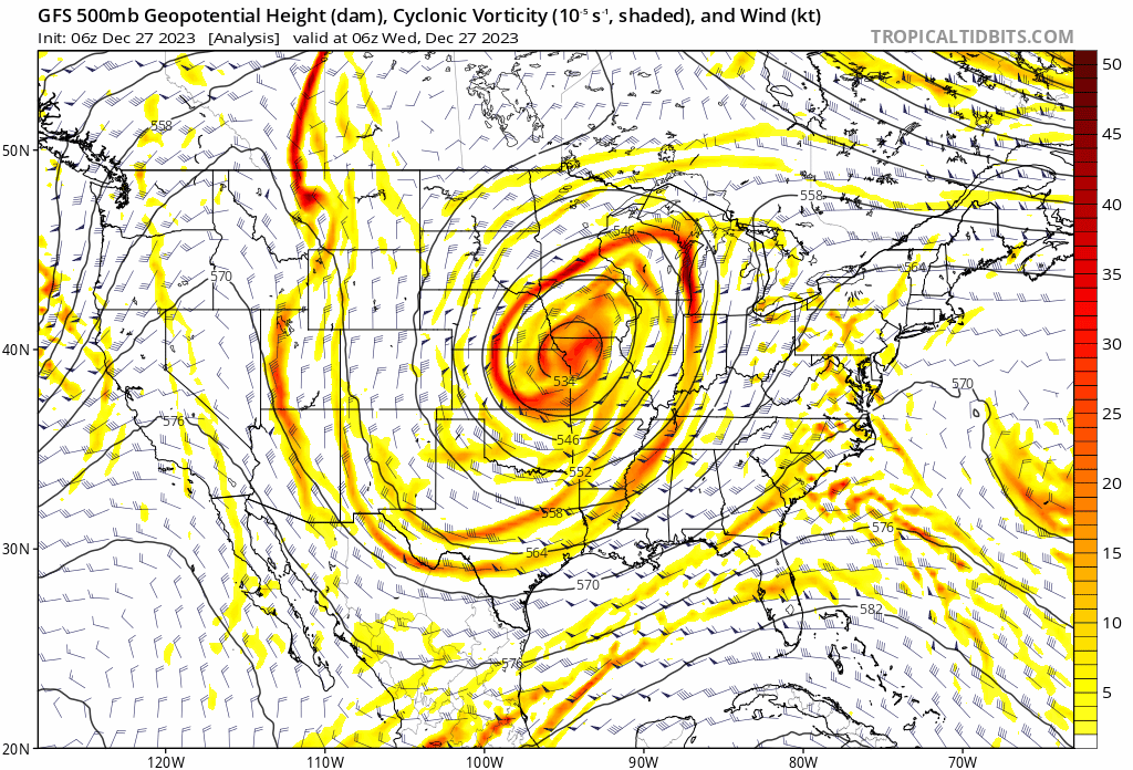
A big ole slow moving cut off upper level low pressure system will pinwheel out of the upper Midwest this morning into the TN Valley and Southeast by the weekend.

These features are always known for “surprises” and it’s up to forecasters, including yours truly, to eliminate those surprises over the next couple days. The challenging part with this particular setup is that colder air will be arriving into the region as the more organized bands of precipitation are pivoting south. Precipitation intensity will also be a big player in this event. The heavier, or more intense, precipitation rates will be able to cool the column of air perhaps a bit quicker than most short term model guidance may currently see.
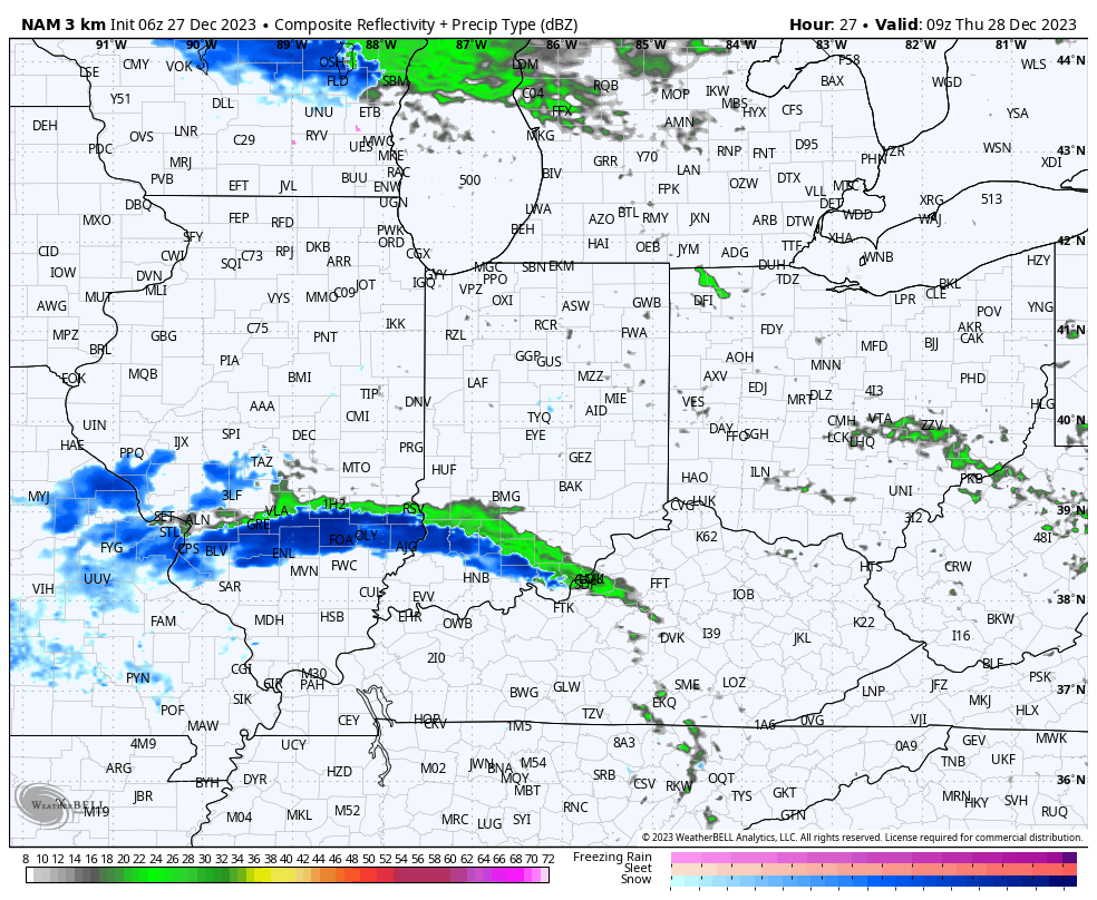
So what does this all mean to me? Today is quiet. After patchy fog burns off, we’re looking at more in the way of sunshine building in. The initial band of precipitation will likely setup tonight across southwestern Indiana. While this will start out as a cold rain, precipitation should switch over to snow prior to sunrise and some localized wet accumulation of snow is likely across Southwest Indiana by daybreak Thursday.

Meanwhile, back up this way, after a dry start to the day, precipitation is expected to become more widespread by early to mid afternoon. As nightfall sets in, rain will likely turn to wet snow showers. Admittedly tricky trying to determine where the steadiest band of precipitation will prevail, the best idea at this point will be across west-central Indiana, including places like Frankfort, Lafayette, Crawfordsville, and Terre Haute. Here, light wet snow accumulation of 1” to 2” seems like a good bet by Friday morning.

Precipitation will diminish from north to south across western Indiana Friday morning. Dry conditions will return until a reinforcing jab of cold air arrives New Year’s Day with scattered snow showers.
