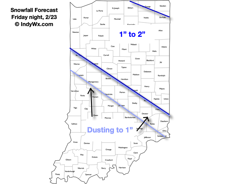
A fast moving clipper system will offer up a round of snow tonight across northern and central IN. Here’s our latest thinking with respect to accumulation numbers. Snow lovers, we recommend getting out to enjoy early Saturday as an increasingly powerful late February sun angle will have many asking “what snow?!” as early as the afternoon.
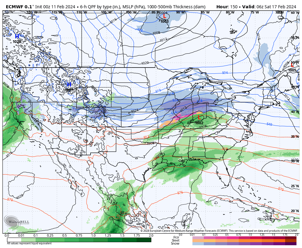
A quick warm-up is on deck for the 2nd half of the weekend and we’re eyeing the potential of a couple rounds of storms Tuesday. A few of these storms could become severe, with damaging straight line winds the biggest concern from this distance with any of the severe activity that potentially develops.
We’ll get to enjoy one more quiet, calm day. Our Super Bowl Sunday will feature a continuation of unseasonably pleasant conditions with plentiful sunshine and mild temperatures. We’ll rise from the upper 20s this morning into the mid to upper 40s this afternoon with dry conditions.
This morning’s visible satellite image shows mostly clear conditions in place across the state.
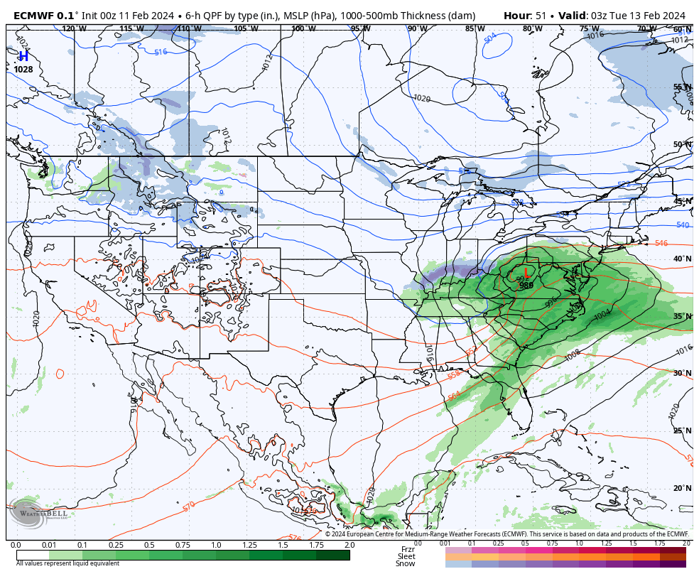
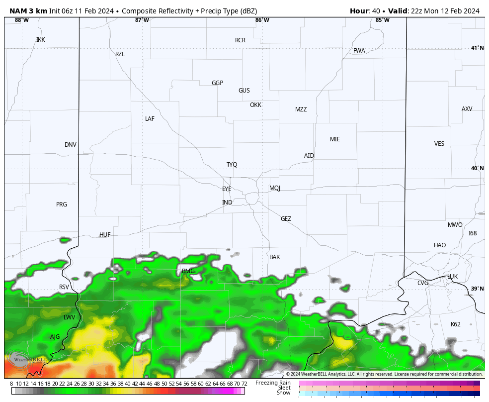
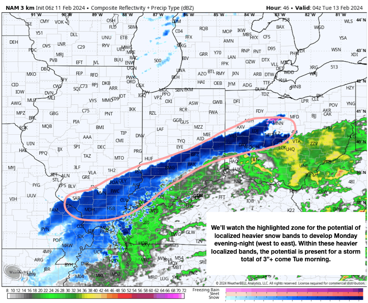
We’re still tracking an area of low pressure that will move into the lower Ohio Valley Monday. As of this morning, this continues to look like a south of I-70 event, including rain that will overspread downstate Monday afternoon before making the transition to wet snow Monday evening. A period of localized heavier banding is likely Monday night downstate and its within these localized “mesoscale bands” that a few folks may wake up Tuesday morning to 3″+ of snow. Otherwise, this appears to be a 1″ to 2″ slushy accumulation for our friends from the southern Indianapolis ‘burbs and points south. Outside of the heavier banding zone, this will be an accumulation event that takes place on grassy and elevated surfaces only.
An area of low pressure will lead to unsettled weather downstate to open the work week.
This is the zone we highlight for the potential of the meso banding to set up, leading to the potential of a bit more “hefty” accumulation.
We’ll be left with a few scattered snow showers Tuesday morning, otherwise, that’ll be it with this system for our neck of the woods. Heads up, if your travels take you to the Northeast big cities this week, plan for impacts from this system. (This should be the most widespread heavy snow so far this season from in and around NYC up to Boston).
Attention here will then shift to a weak (rain maker) system Thursday and then another opportunity for wintry mischief to close the week. Stay tuned!
Permanent link to this article: https://indywx.com/localized-wet-heavy-snow-bands-set-up-downstate-monday-night-tracking-2-additional-systems-in-the-week-ahead/
Updated 02.10.24 @ 12p We continue to monitor the opportunity for the threat of accumulating wet snow across southern Indiana Monday evening and Monday night. This afternoon’s video has some…
You must be logged in to view this content. Click Here to become a member of IndyWX.com for full access. Already a member of IndyWx.com All-Access? Log-in here.
Updated 01.30.24 @ 7:16a A weak clipper will deliver mixed showers this morning and a round of light snow showers this evening. Totals with both rounds of precipitation will be…
You must be logged in to view this content. Click Here to become a member of IndyWX.com for full access. Already a member of IndyWx.com All-Access? Log-in here.
Updated 01.29.24 @ 5:59a We’ll close January and open February with an extended stretch of unseasonably quiet (and mild) conditions. The only exception? A weak clipper that will offer up…
You must be logged in to view this content. Click Here to become a member of IndyWX.com for full access. Already a member of IndyWx.com All-Access? Log-in here.