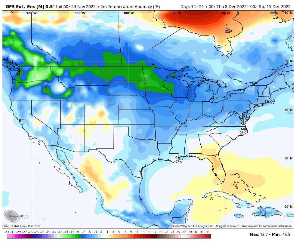
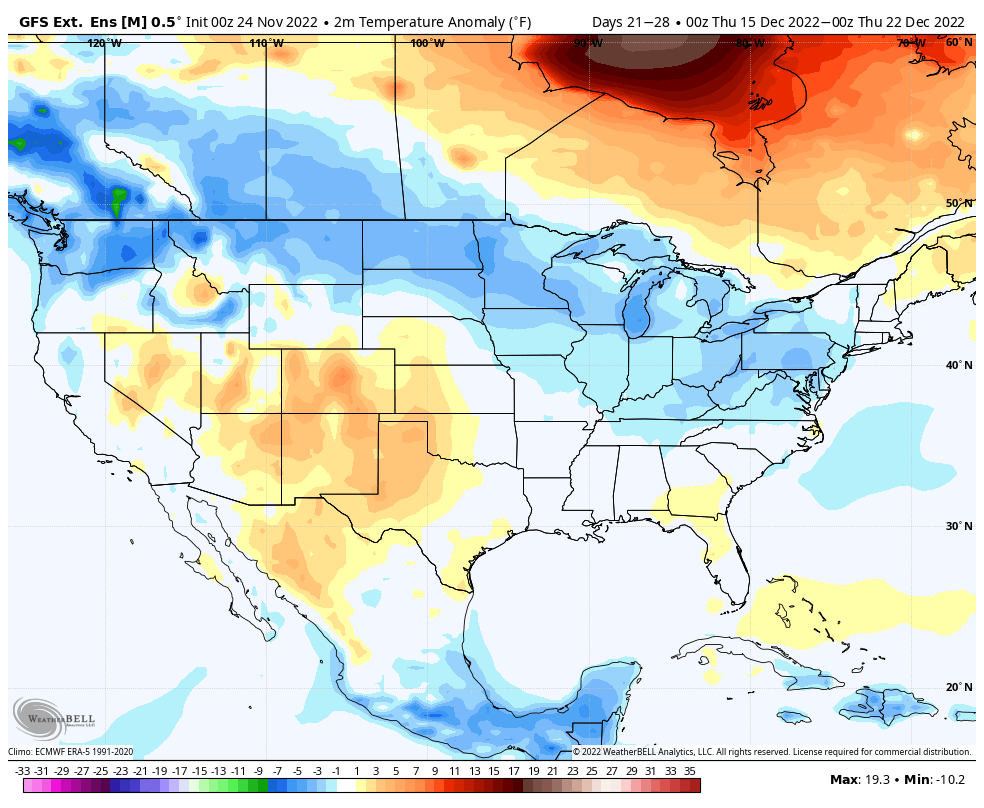
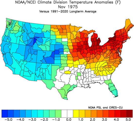
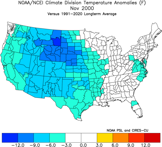
You must be logged in to view this content. Click Here to become a member of IndyWX.com for full access. Already a member of IndyWx.com All-Access? Log-in here.
Category: Winter thoughts…
Permanent link to this article: https://indywx.com/2018/01/27/video-wet-times-end-this-afternoon-snow-chances-return-monday/
Jan 25
Potential On The Table For A Spectacular Period Of Winter Weather…
Right out of the gate, our expectation is that the period Feb. 1st through March 6th will provide a memorable period of winter weather across central Indiana. Included in our thinking is that between 15″-20″ of snow falls at IND during the period and at least (1) night features lows between 10° and 15° below zero.
Before we get into a new period of wintry conditions, the region will enjoy an unseasonably pleasant stretch of weather, overall, over the upcoming week. Temperatures will run much milder than average most days and precipitation events will remain relatively light and insignificant until we get to late next week.
While we’ll deal with light rain Saturday morning, light snow Monday with upper energy and a transient shot of cold air, the primary message through next Wednesday is that our weather pattern will be rather benign considering we’re in the “heart” of winter. In fact, our current 7-day reflects (3) days of highs of 50°, or greater. That’s impressive for late January, and you have our full permission to enjoy every minute of it! 🙂
As we transition into February, the ball begins rolling towards a new period of significant winter weather. Initially, this will likely come in a “step down” fashion. We forecast the initial jab of cold to arrive late next week and this will likely be accompanied by a period of rain switching over to a period of snow Thursday (accumulating snow is on the table with this event). We note the GEFS sees the transition to cold as we enter the second month of the year.
A combination of ingredients will come together to initially lead to a very active/ stormy period for the first half of February. Within this initial couple weeks of the month, we expect an expanding snowpack to encompass the Mid West and Ohio Valley region. While we can’t get specific on any one particular storm more than two weeks out, confidence is higher than normal on the pattern putting down greater than average amounts of the white stuff. Snow enthusiasts, locally, have to be “salivating” over the resistance put up from the eastern ridge and the resurgent cold pressing into the Plains and Midwest. A busy interior storm track seems like a good bet.
It’s as we get into mid-February where we think significant, bitter cold will take the headline. It’s a “feedback” of sorts between getting the snowpack laid down first and then having the MJO swing through the phases that favor late-winter arctic intrusions into the eastern portion of the country. Unlike the past couple of winters, plenty of cold is building- and waiting at the gate to be unleashed southeast over the next several weeks.
Finally, we also note the new European Weeklies remain bullish on a prolonged colder than average stretch of weather, accompanied by above normal precipitation, February into mid-March. This is significant as run-to-run consistency has been noted and is backed up by long-term pattern techniques.
We’ll revisit our call of 15″-20″ Feb. 1 through March 6th, including at least one night of lows between 10°-15° below, on March 7th… In the meantime, we’ll be here with blog updates and videos through the active upcoming several weeks ahead.
Permanent link to this article: https://indywx.com/2018/01/25/potential-on-the-table-for-a-spectacular-period-of-winter-weather/
Jan 22
Monday Evening Rambles: Rain Showers Change To Snow Showers Tuesday Morning…
I. Another round of showers will pivot through central Indiana later this evening ahead of a cold front. Once the cold front sweeps through the state, temperatures will fall during the overnight and grow cold enough to allow precipitation to transition to wet snow showers Tuesday as upper level energy rotates through the Ohio Valley.
II. High pressure will settle overhead through midweek and while we’ll “chill” to near seasonal levels Wednesday, the rebound will begin Thursday and we’ll climb into the 50s for highs Friday, complete with an increasingly gusty southwest breeze.
III. Our next storm system will approach late Friday night into Saturday with rain and gusty winds. Models differ on rainfall amounts and we’ll split the difference for now (in general we forecast between 0.25″ to 0.50″, but we’ll keep a close eye on data over the next few days).
IV. We’ll turn cooler for the second half of the weekend, but the overall pattern is a transient one into next week and overall milder than average. That said, things will begin to change in big time fashion as we rumble into February. Winter is a long ways from being over…
Permanent link to this article: https://indywx.com/2018/01/22/monday-evening-rambles-rain-showers-change-to-snow-showers-tuesday-morning/
Dec 16
EPO-PNA Battle
One of the many ingredients we like to throw into the mixing bowl when developing our medium range forecast is the teleconnection breakdown. Many times, the various teleconnections play into themselves and agree, but, at times, conflicting signals lead to a fight. At any given time, one or the other “big boy” teleconnections can take control of the pattern and simply overwhelm. As things stand now, it appears as if the two teleconnections trying to control are the EPO (Eastern Pacific Oscillation) and PNA (Pacific North America pattern), highlighted below.
As we’d expect, as these two fight it out, a battle will ensue across the central and eventually eastern portion of the country. The negative EPO is a widespread cold pattern, while a negative PNA favors south-central and southeastern ridging (a warmer pattern).
When we look at the latest ensemble data, we see this battle playing out within the modeling.
Eventually, we expect the deeply negative EPO to take control and overwhelm the pattern with cold. However, as this transition of power takes place, the negative PNA won’t go down without a fight and will likely play a role in the weather leading up to Christmas.
The negative PNA suggests we need to remain on guard for the potential of an interior snow/ ice event around Christmas. As we’ve been mentioning, from this distance there’s no way to say whether this is an impactful wintry event for our region, or just to our north or south. We should be able to become more detailed within the next few days…
Permanent link to this article: https://indywx.com/2017/12/16/epo-pna-battle/
Dec 14
VIDEO: Latest Thoughts Around The Pattern As Christmas Nears…
You must be logged in to view this content. Click Here to become a member of IndyWX.com for full access. Already a member of IndyWx.com All-Access? Log-in here.
Permanent link to this article: https://indywx.com/2017/12/14/video-latest-thoughts-around-the-pattern-as-christmas-nears/
Dec 12
Tuesday Evening Rambles: Wintry Weather And More Christmas Week Chatter…
I.) The pattern we’re currently dealing with is one that presents multiple challenges in the near term. East-central and northeastern portions of the state have gotten in on the snow act today, but, so far, most of central Indiana has missed out on the snowy goods. With such a fast-paced northwest flow, we have to remain on guard for potential “surprises” in this pattern. Perhaps the HRRR is beginning to pick up on this. Latest runs want to deliver a “pop” of snow Wednesday morning, associated with “warm” air advection (WAA). We’ll monitor tonight.
II. The northwest flow will continue to provide disturbances plenty capable of producing periods of snow again Wednesday evening through the end of the week. Are these monster storms? Hardly, but they can “suddenly” become sufficient enough to create travel problems given the pattern. For those who live across the northern half of the state, plan to keep close tabs to local forecasts if you have travel plans through the end of the week.
III. A period of brief moderation will come in this pattern early Christmas week, but all eyes continue to focus on the period between December 22nd through December 26th for the potential of impactful weather across our region. For model “worshipers” out there, we suggest paying more attention to overall trends, and a blend of ensemble data, as opposed to specifics associated with operational runs. It’s a “jailbreak” pattern of sorts as true arctic air will be pouring down the Plains while the southeastern ridge tries to fight for a time. The resistance from the southeastern ridge and associated tight thermal gradient should promote a very stormy regime for the interior (Ohio Valley into the interior northeast) as we head into the true holiday/ Christmas stretch. As of now, we favor the idea of multiple waves along the pressing arctic boundary, as opposed to one big storm. Looking back through the records shows some of the heaviest snows at IND have come from similar set-ups. Understanding each set-up is unique, the overall pattern does have to raise an eye brow for potential of wintry weather in, or around, our region as Christmas approaches…
Permanent link to this article: https://indywx.com/2017/12/12/tuesday-evening-rambles-wintry-weather-and-more-christmas-week-chatter/
Nov 26
VIDEO: Early-December Warmth Won’t Last…
You must be logged in to view this content. Click Here to become a member of IndyWX.com for full access. Already a member of IndyWx.com All-Access? Log-in here.
Permanent link to this article: https://indywx.com/2017/11/26/video-early-december-warmth-wont-last/
Nov 16
Digging Deeper As Winter Nears…
Thanksgiving is only a week away (where on earth does time go?!) and more and more folks are asking what we think winter will hold for central Indiana. In case you missed it earlier this fall, here’s our official Winter Outlook.
We’re continuing to dig in and monitor new data that’s streaming into the office, as well as ocean profiles. With that said, we wanted to share some of our findings with you this morning with respect to how various ocean regions can impact our weather this winter.
We’re noticing significant changes, particularly in the north Pacific, with the famous “warm blob” emerging (image 1). This is a big factor that aided in persistent cold; wintry weather during the ’13-’14 winter (images 2-3). Notice the difference from last year, too (image 4). This isn’t a full blown cold PDO (Pacific Decadal Oscillation) yet, but trending in that direction and “ups the ante” for cold, wintry conditions, locally this year.
What makes seasonal forecasting so challenging (and fun :-)) are the multiple features that can impact a forecast. We’ve talked about the importance of ENSO (various types of Nino and Nina events) in past updates, as well as low solar and QBO. All of these moving parts and pieces are coming together in a manner that seems to be favoring more of a cold, wintry regime, locally, this year. Is that us saying another blockbuster 2013-2014 winter awaits? Absolutely not (there are other differences noted above with the SST configuration). However, it is suggesting that this winter will be absolutely nothing like the past couple…
Might want to think about getting the snow blower tuned up!
More later today on the short-term. Make it a great Thursday!
Permanent link to this article: https://indywx.com/2017/11/16/digging-deeper-as-winter-nears/
Sep 29
A Note And Some Perspective On Next Week’s New Warm Surge…
After a cool, fall-like, weekend, we still expect a new surge of summer-like air to return next week as a strong (and expansive) ridge of high pressure “balloons” over the eastern half of the nation.
This will be enough to send temperatures into the 85° to 90° range by the early to middle of next week. To shed some perspective on that, our averages for early October include low temperatures in the upper 40s and highs in the upper 60s. For at least a couple of days next week, overnight lows will be much closer to where our afternoon highs should be this time of year.
There are differences on how modeling handles the evolution of things once past midweek. The European model has been jumping on a potential wet weather maker and much cooler trend in the medium term (late next week), but the GFS is having none of that- keeping us dry and hot. We’ll keep a close eye on things over the next couple of days and have a fresh 7-day soon!
Finally, we’re receiving many questions that are centered on whether or not the current overall warm pattern is an indication of what we can expect this winter. The simple and short answer to that question is an emphatic “no.” Transitional seasons are fickle, regardless of ENSO state. Throw in an emerging Nina and all sorts of additional “fun and games” ensue. With that said, there’s no direct correlation specifically between warm (or cold) patterns this time of year and the winter ahead. In fact, there’s been many instances where unseasonably warm Octobers give way to cold winters, and vice-versa.
More later! Make it a great Friday!
Permanent link to this article: https://indywx.com/2017/09/29/a-note-and-some-perspective-on-next-weeks-new-warm-surge/
Aug 13
The Week Opens Quiet Before More Unsettled Times Return…
High pressure will remain in control of our weather pattern through the early portions of the new week. This will supply continued dry conditions, along with plentiful sunshine. Humidity values will remain comfortable as we open the work week before turning increasingly muggy as midweek nears.
As high pressure moves off to the east, a southwesterly air flow will help moisture return to the state by mid and late week. As a cold front enters the picture, overall coverage of showers and thunderstorms will increase and become scattered to numerous. We’re not expecting any sort of all-day rains, but chances of getting wet from time to time will go up Wednesday through Friday.
Rainfall totals should fall in the 0.50″ to 1.00″ range for most, but there will be a few folks who pick up locally heavier amounts the second half of the week.
As of now, we think the cold front will pass Friday evening and set-up another pleasant weekend with seasonable temperatures. The stretch of gorgeous August weekends’ appears to roll along.
What else we’re working on: With us about to flip the page to the second half of August, thoughts continue to shift to the upcoming meteorological fall and winter seasons ahead. Early data paints an “intriguing” look, complete with high latitude blocking and neutral ENSO look. Winter enthusiasts should like the look overall as this will have an impact on the prospects of cold getting going earlier than recent years past. Much more on fall and winter in the weeks ahead… The other big item of interest has to do with the tropics. A new disturbance will traverse the MDR (Main Development Region) this week and given the overall upper level pattern over the CONUS, we’ll have to keep an eye on the East Coast Weeks 2-3.
Permanent link to this article: https://indywx.com/2017/08/13/the-week-opens-quiet-before-more-unsettled-times-return/