A Note And Some Perspective On Next Week’s New Warm Surge…
After a cool, fall-like, weekend, we still expect a new surge of summer-like air to return next week as a strong (and expansive) ridge of high pressure “balloons” over the eastern half of the nation.
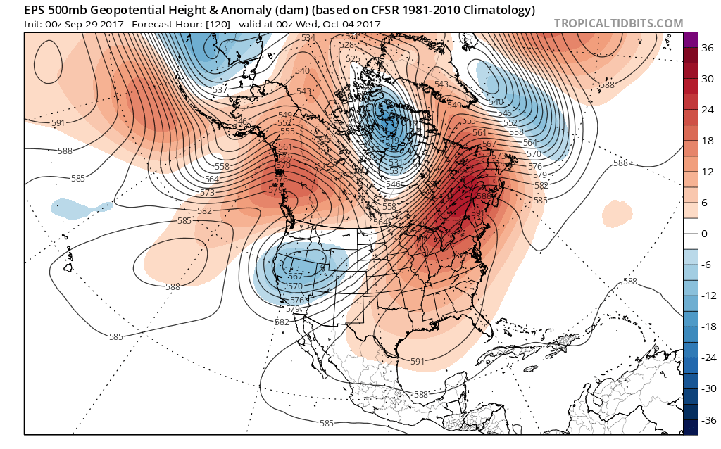 This will be enough to send temperatures into the 85° to 90° range by the early to middle of next week. To shed some perspective on that, our averages for early October include low temperatures in the upper 40s and highs in the upper 60s. For at least a couple of days next week, overnight lows will be much closer to where our afternoon highs should be this time of year.
There are differences on how modeling handles the evolution of things once past midweek. The European model has been jumping on a potential wet weather maker and much cooler trend in the medium term (late next week), but the GFS is having none of that- keeping us dry and hot. We’ll keep a close eye on things over the next couple of days and have a fresh 7-day soon!
Finally, we’re receiving many questions that are centered on whether or not the current overall warm pattern is an indication of what we can expect this winter. The simple and short answer to that question is an emphatic “no.” Transitional seasons are fickle, regardless of ENSO state. Throw in an emerging Nina and all sorts of additional “fun and games” ensue. With that said, there’s no direct correlation specifically between warm (or cold) patterns this time of year and the winter ahead. In fact, there’s been many instances where unseasonably warm Octobers give way to cold winters, and vice-versa.
More later! Make it a great Friday!
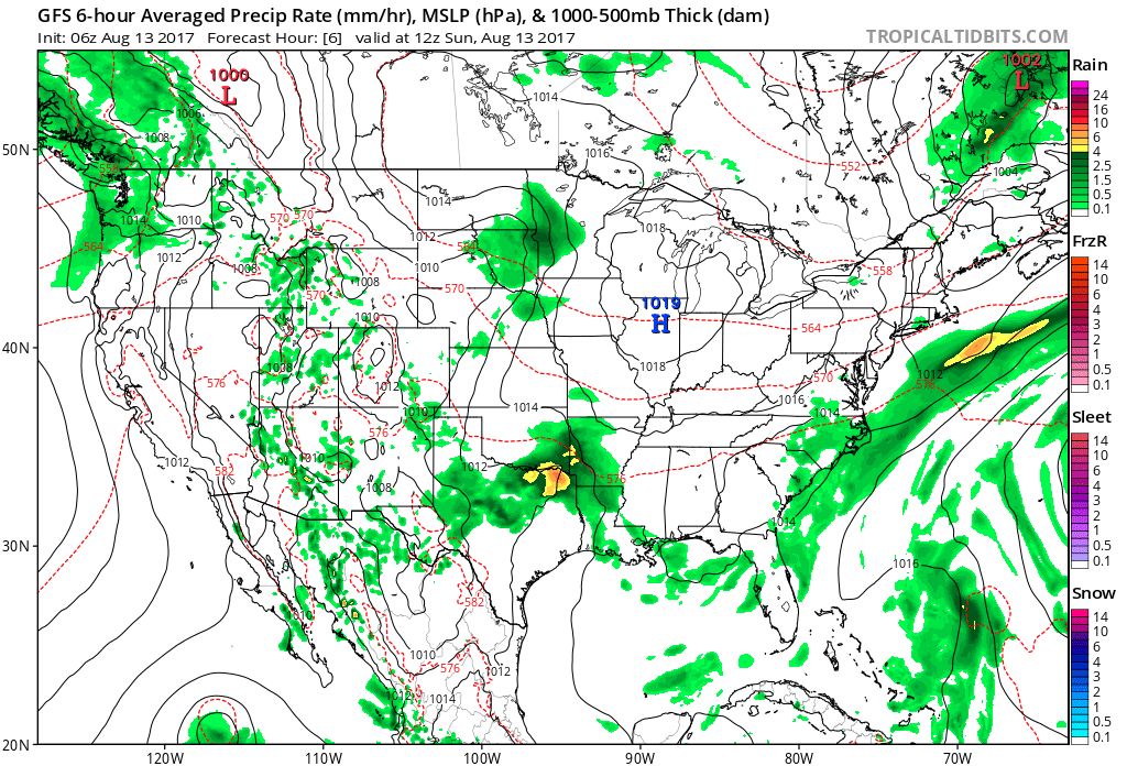
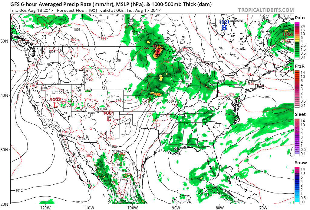
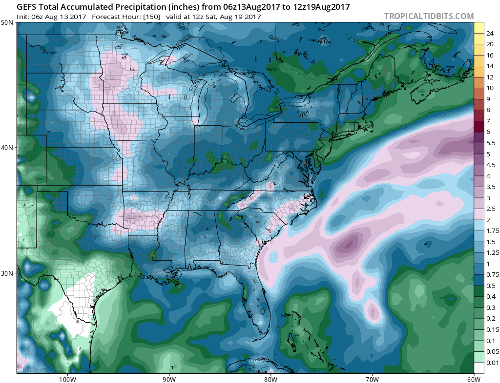 As of now, we think the cold front will pass Friday evening and set-up another pleasant weekend with seasonable temperatures. The stretch of gorgeous August weekends’ appears to roll along.
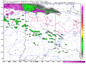
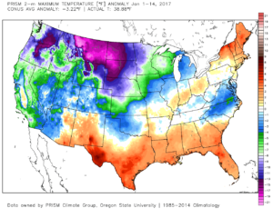 2.) Showers will creep north overnight into Monday morning, but shouldn’t amount to much. They will be scattered in nature across central Indiana.
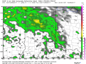
 3.) More widespread rain and embedded thunder will develop Monday night into Tuesday morning. This should amount of widespread half inch to one inch totals across the viewing area.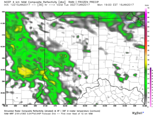
 4.) A moist southwest flow will help push a warmer regime northward for the second half of the week. Though warm, we’ll also have to deal with periods of rain as disturbances track northeast. We circle Friday and Sunday as the wettest days and remain optimistic Saturday will feature dry and unseasonably warm conditions (lower-middle 60s). Between the rainy days Friday and Sunday, additional rainfall totals of 1″-2″ seem like a good bet.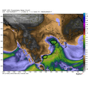
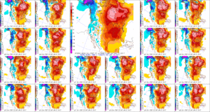 5.) The evolution of the pattern just beyond the 7-day period we’ll begin to take on an increasingly wintry look and we remain confident on a flip back to wintry conditions as we roll through the last week of the month. We’ll have to keep a close eye on a storm system in the 8-10 day period. It’s obviously way too early to discuss specifics, but this will be the time the pattern is beginning to turn back towards a wintry regime…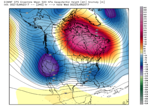
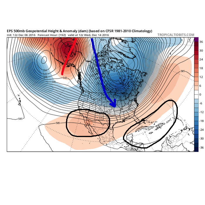 The overall set-up is certainly an intriguing one. Cross-polar flow seeds pressing arctic air into the pattern (again, it comes in “waves” over the next couple weeks, each subsequently stronger). What’s of particular interest is the battle that develops between a tag-team of ridges- SW and SE (at times these will put up more resistance than the other). Long-time Hoosiers know that when cross-polar flow gets involved it can “suppress” storms, but rest easy in knowing that the SE ridge will provide resistance. In fact, some across the lower Ohio and TN Valleys may eventually complain that the southeast ridge is providing too much resistance.