Category: Winter Storm

Word On The Weekend And A Couple Other Items Of Interest.

We continue to monitor the goings on for the weekend closely.  As of now we still think snow is the dominant form of precipitation across central Indiana and likely comes in “waves” of intensity from late Saturday night into Monday morning.  Significant snowfall totals are possible, but it’s still too early to pin point totals due to the chance of some mixing issues (sleet, freezing rain) for some and the overall placement of the cold front.  This will be a bit different than what we’ve experienced with our last couple of winter storms and could be more of a prolonged event as warmer moist air overruns the cold air at the surface.  Again, exactly where the arctic boundary stalls Saturday night into Sunday will determine the precise precipitation types and exactly who sees snow versus sleet and freezing rain.  Stay tuned.

In other news…if you thought it’s been a cold winter then you’d be correct. In fact, this “cool” image from IEM shows that central Indiana has been at 32 degrees, or lower, between 60-70% of the time since December 1st.  Impressive, for sure!

BhaPsoICIAAP9Md

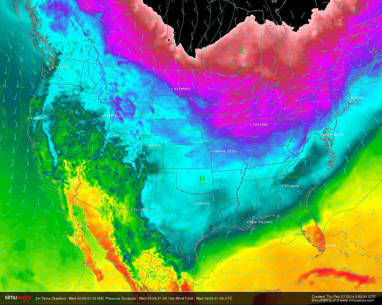
Finally, another arctic cold front will slam into central Indiana tomorrow morning and will be accompanied by howling northerly winds gusting to 40-50 MPH and a potential quick-hitting snow shower.  This will set the stage for a brutal Thursday as temperatures struggle to recover to the lower to middle teens for IND and even colder for the northern ‘burbs.  This is hard to handle when considering we’re expected to “normally” reach the middle 40s this time of year.

simuawips-2

Permanent link to this article: https://indywx.com/word-on-the-weekend-and-a-couple-other-items-of-interest/

Tracking A Late Weekend Winter Storm

Wed.

Thr.

Fri.

Sat.

Sun.

Mon.

Tue.

 Status-weather-clouds-icon

 Status-weather-clouds-icon

 Status-weather-snow-scattered-day-icon

 Status-weather-snow-scattered-day-icon

 Status-weather-snow-scattered-icon

 Status-weather-snow-scattered-day-icon

 Status-weather-snow-scattered-day-icon

5/ 18

8/ 14

2/ 23

22/ 37

20/ 30

10/ 20

5/ 18 

– – –

– – –

Light

Light

Heavy

Light

Light

Forecast Updated 02.26.14 @ 7:43a

Frigid Midweek…A brutally cold air mass is blowing into the region this morning, especially considering we’re nearly into March!  This is laying the groundwork for a snowy weekend, but we’ll get to that in a bit.  Forecast highs average at 44 degrees this time of the year and today’s high will be lucky to reach 18.  EVEN COLDER air blows in late tonight into early Thursday and will result in continued dangerous below zero wind chill values.  Needless to say, plan to bundle up upon heading outdoors.  While the calendar may suggest spring is near, Mother Nature and Old Man Winter have other ideas.

Late Week Light Snow…A warm front will lift north through the region Saturday morning and will be responsible for producing a round of light snow Friday night into Saturday AM.  As of now, early numbers suggest around an inch of snow is possible, but we’ll continue to monitor things and update as needed.

Late Weekend Winter Storm…While details are still far from etched in stone, there’s no doubt behind a significant winter storm brewing for the second half of the weekend.  This storm will have significant snow for portions of central Indiana and significant icing potential for others.  As of now, we anticipate air cold enough to support frozen, or freezing, precipitation across our immediate viewing area of central Indiana.  All of that said, we caution that the track and intensity of the storm will likely change between now and Sunday and we’ll continue to keep close tabs on this event.  Early numbers are impressive as far as precipitation goes with liquid equivalent amounts around 1″ churned out, on average, from a variety of computers models.

Arctic Air Reloads…We may be into meteorological spring next week, but Old Man Winter continues his relentless ways that we’ve grown so accustomed to over the past several months. Fresh arctic air will plunge into central Indiana’s potentially snow packed ground early next week and could ultimately help yield below zero air by the middle of next week.  What an impressive winter.

Upcoming 7-Day Precipitation Forecast

  • 7-Day Snowfall Forecast: 4-8″
  • 7-Day Rainfall Forecast: 0.00″

twic

For weather updates and more “behind the scenes” data on the go, be sure to Follow Us on Twitter @indywx or become a Friend of IndyWx.com on Facebook!

images

Permanent link to this article: https://indywx.com/tracking-a-late-weekend-winter-storm/

Old Man Winter Is Back… (Did He Ever Leave)?

We touch on the potential winter storm brewing in the Sunday-Monday time period in this video.  A significant winter storm is brewing for some and we cover some initial thoughts…

You must be logged in to view this content. Click Here to become a member of IndyWX.com for full access.  Already a member of IndyWx.com All-Access?  Log-in here.

Permanent link to this article: https://indywx.com/old-man-winter-is-back-did-he-ever-leave/

Messy Afternoon Commute Ahead

Latest thinking around our wintry mess due in here this afternoon places a heavier emphasis on sleet and freezing rain for central Indiana, with accumulating snow still a possibility, especially north of Indianapolis.

Overnight model data trended warmer (especially aloft) and latest high resolution, short-term, data continues that trend this morning.  While an initial push of moisture has led to snow and sleet reports already this morning, it’s around 1 o’clock when we think the true slug of moisture reaches the city, itself.  While snow can’t completely be ruled out, I’m more concerned with sleet and freezing rain potential for Indianapolis.

Officially, we’re calling for 1″ of snow/ sleet with up to two tenths of freezing rain for the city, itself.  Further north, a band of 1-3″ of snow/ sleet can be expected with only light freezing rain.  From Benton County over to Wells County, we anticipate mostly a snow event with 3-6″ of snow expected.

All of that said, we leave you with this humble disclaimer; this is easily the most difficult forecast we’ve had to make this winter.  Several factors will come into play to ultimately determine the precise precipitation zones, including track and strength of the low, precipitation rates, amount of evaporative cooling, etc.  This is a low confidence forecast when it comes to precipitation types, but our best idea is below for your viewing pleasure.  Needless to say, regardless of what type of precipitation you see this afternoon, prepare for another nasty afternoon and evening commute.  Stay safe.

UPDATED021714

Permanent link to this article: https://indywx.com/messy-afternoon-commute-ahead/

Sunday Afternoon Thoughts…

1.) A scan over the latest data continues to point towards an absolute mess of a Monday afternoon.  Our accumulation ideas remain relatively unchanged from this morning’s update, aside from “beefing” expected snow totals for Indy’s northern ‘burbs by 1″.  Most of this falls from noon to 6pm and will be followed by a dry, cold, and blustery Monday night.  After likely a white-nuckle evening commute Monday, the combination of sub-freezing temperatures and gusty northwest winds Monday night will likely lead to another rough commute for Tuesday morning.

** We caution that this will be another “now cast” situation when it comes to precipitation types and their respected precise zones tomorrow afternoon.  Stay tuned here or to your favorite local weather media for updates and potential changes.**

  • Indianapolis northern ‘burbs, including Zionsville: 2-4″ snow and sleet with less than 0.10 of freezing rain.
  • Indianapolis proper: 2″ snow and sleet with around 0.10 of freezing rain
  • Indianapolis southern ‘burbs, including Greenwood: 1″ snow and sleet with up to 0.25 freezing rain.

Snow:IceForecast021714

2.) We continue to monitor what will be a brief thaw and associated flood risk mid week.  Even without rain, water rise would occur and urban flooding from the combination of melting snow and blocked (from all of the snow) drainage zones.  When you add 0.50-1″ of rain atop the melting then problems could arise Wednesday into Thursday.  Additionally, we’ll need to prepare for the likelihood of dense fog Wednesday as milder air surges north over a deep snow pack.

3.) For anyone thinking spring is setting in during our mid week thaw will need to think again. Latest model data continues to suggest we reverse things quickly later this week and for the upcoming weekend.  In fact, some model data, including the European, suggests central Indiana is under the gun for a weekend winter storm.  We’ll continue to monitor closely…

021614ECSatWinterStorm022214

4.)  Additionally, prospects continue to grow for another extended period of well below normal cold and renewed wintry precipitation chances in the long term (into March).  Both the GFS and European models are in agreement on the mid to long range pattern with a trough settling back into the eastern half of the country.

02161412zGFSEC

Permanent link to this article: https://indywx.com/sunday-afternoon-thoughts/