Category: Winter Storm

Busy Week Ahead…

Mon.

Tue.

Wed.

Thr.

Fri.

Sat.

Sun.

 Status-weather-showers-scattered-icon

 Status-weather-showers-scattered-icon

 Status-weather-clouds-icon

 Status-weather-clouds-icon

 images

 Status-weather-snow-scattered-icon

 Status-weather-clouds-icon

40/ 50

33/ 45

25/ 35

25/ 35

25/ 34

28/ 32

26/ 33 

Highlights:

  • Early Week Rain Maker
  • Keeping An Eye On Mid Week
  • Weekend Winter Storm For Some

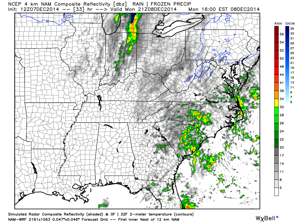
Early Week Storm System…An area of low pressure will scoot though the Ohio Valley Monday into Tuesday delivering showers to the region. We forecast rain to arrive late morning to early afternoon Monday across central Indiana. We’re not expecting heavy rain, but plan on taking the rain gear with you as you leave for work and/ or school.  Colder air will filter into the state Tuesday afternoon setting up a cold mid week period.

Some forecast models have hinted at the threat of light wintry precipitation Wednesday into Thursday, but for now we’re keeping this out of our official forecast and instead going with a mostly cloudy, but dry mid week period.

Developing Weekend Winter Storm…All eyes will focus on a significant weekend winter storm event.  Details on track are still up for debate with this being in the mid range period and we’ll keep close tabs as we move forward through the week.  As of now we forecast increasing clouds through the day Friday with light snow developing late Friday night and continuing into Saturday.  Snowfall totals will obviously depend on the track of the low and we’re still a few days away from being able to provide any sort of specific accumulation ideas.  Guidance right now ranges from a “plowable” event to one that misses us to the south and east.  Stay tuned.

The weather pattern continues to look cold and active in the days leading up to, and through, the Christmas and New Year’s period.  Buckle up for a fun ride…

Upcoming 7-Day Precipitation Forecast:

  • 7-Day Rainfall Forecast: 0.25″ – 0.50″
  • 7-Day Snowfall Forecast: 1″ – 2″

Permanent link to this article: https://indywx.com/busy-week-ahead/

Sunday Morning Rambles…

1.) It’s nice to see the sun for once.  While we’ll still have mid and high level cloudiness to deal with later today, we’ll gladly take what we can get of the good ole vitamin D this time of the year!

20141207_1445_EVV_vis

2.) Rain over the Thursday-Friday period followed along very closely to what modeling suggested.  Heaviest rains fell central and south.

nws_precip_ky_3

3.) A cold front will move through Monday evening with a few showers, gusty winds, and set up a cold week, overall.

hires_ref_ky_34

4.) In the long range, we continue to really like the looks of things from a winter weather lover’s point of view.  Undercutting jet supplying storm potential, arctic intrusion, and a blocky look… Details will have to be sorted through as time draws closer, but from this perspective, the pattern continues to look like it’s heading towards one capable of widespread colder than normal air and winter storm potential Christmas week.

122014SetUp

Permanent link to this article: https://indywx.com/sunday-morning-rambles-3/

Snow Total Catch Up And More On The Bitter Air Inbound…

Snowfall totals through this morning are as follows: Whitestown: 3″ Zionsville: 3″ Muncie: 3″ Bloomington: 2″ Martinsville: 3.2″ Castleton: 3″ Indianapolis: 2.5″ All in all, this first storm behaved as…

You must be logged in to view this content. Click Here to become a member of IndyWX.com for full access.  Already a member of IndyWx.com All-Access?  Log-in here.

Permanent link to this article: https://indywx.com/snow-total-catch-up-and-more-on-the-bitter-air-inbound/

First Winter Storm Of The Season…

Sun.

Mon.

Tue.

Wed.

Thr.

Fri.

Sat.

 Status-weather-snow-scattered-icon

 Status-weather-snow-scattered-day-icon

 Status-weather-snow-scattered-day-icon

 Status-weather-snow-scattered-day-icon

 Status-weather-clouds-icon

 Status-weather-snow-scattered-day-icon

 Status-weather-showers-scattered-icon

28/ 35

19/ 28

9/ 21

14/ 34

18/ 31

15/ 28

28/ 40 

First Plowable Snow Of The Season…It may only be mid November, but we’re already talking about our first plowable snow of the season.  Let’s get right to the bullet point details of what you need to know:

  • Snow arrives into central Indiana around 2 o’clock
  • Snow increases in intensity around sunset into the mid evening hours; periodically reaching moderate to heavy levels
  • Uniform 2-4″ snow event tonight for central Indiana, but localized banding features could result in a 5″ report

Our snowfall forecast first issued Saturday morning remains.  The falling snow should be east of the region before the morning commute gets underway Monday, but the damage will already be done.  Our snow removal companies will be hard at work across the region.  The big story Monday will be fresh arctic air invading through the day along with gusty winds and renewed snow showers developing Monday night.

Periodic Snow Showers; Reinforcing Arctic Air…If you haven’t realized another wintry week was upon us, now you will!  Individual disturbances will move southeast into mid week helping to serve as arctic air reinforcements and snow shower producers.  Another important note- wind chill values will be below zero Tuesday morning.  Plan on severe cold.

Late Week Storm System…The details are “murky,” but a storm system will attack the cold air late week with a wintry mix of rain and snow.  More around this in the days ahead.  For now, the focus remains on tonight’s snow event.

Upcoming  7-Day Precipitation Forecast:

  • 7-Day Snowfall Forecast: 3″ – 5″
  • 7-Day Rainfall Forecast: 0.10″
Our snowfall forecast remains unchanged from Saturday morning, but we'll include mention of isolated 5" reports across central Indiana to account for banding potential.

Our snowfall forecast remains unchanged from Saturday morning, but we’ll include mention of isolated 5″ reports across central Indiana to account for banding potential.

Permanent link to this article: https://indywx.com/first-winter-storm-of-the-season/

Snow Chances And Gearing Up For Even Colder Air…

Sat. Sun. Mon. Tue. Wed. Thr. Fri.               16/ 36 24/ 36 19/ 28 9/ 22 12/ 36 17/ 30 18/ 35  Two Weekend…

You must be logged in to view this content. Click Here to become a member of IndyWX.com for full access.  Already a member of IndyWx.com All-Access?  Log-in here.

Permanent link to this article: https://indywx.com/snow-chances-and-gearing-up-for-even-colder-air/