February has been a brutally cold month and there’s no let-up in sight during the upcoming 7-10 days.
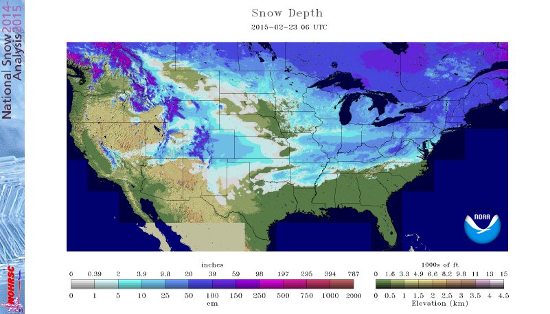
 The snowpack has expanded over the past few days.
 The arctic air is very hard to move and forecast models can struggle mightily in the mid range when arctic air is involved. Add in a vast snowpack over the TN Valley and Ohio Valley and I wouldn’t buy full force into the warm, mostly liquid precipitation solutions as depicted by some European and GFS runs as of late. More on that later.
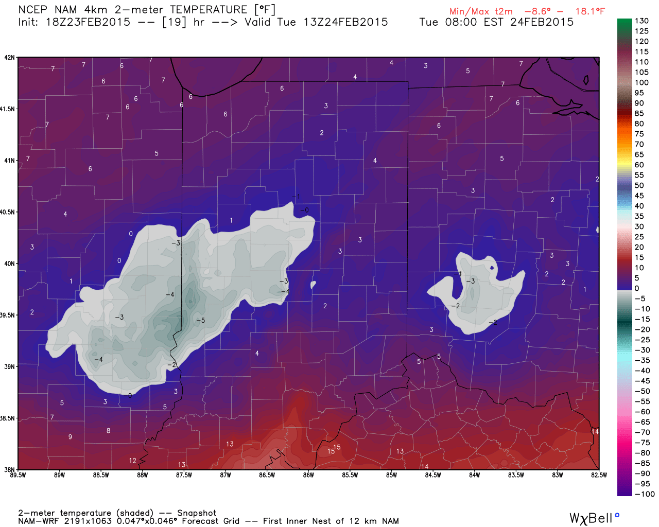
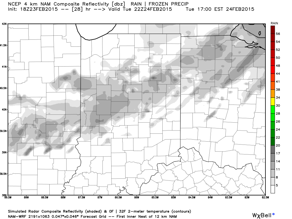
Arctic air is the story in the short-term along with a gusty wind that will precede very light snow Tuesday afternoon/ evening.
 More bitterly cold, arctic air will be with us as we wrap up the work week and head into the weekend. Additional records will fall.
Snow may also be with us. We’re keeping a close eye on a clipper system that could deliver accumulating snow prospects around these parts Wednesday night/ Thursday. The latest RGEM solution (below) depicts a more easterly track. We also note the latest GFS delivers light snow in here Wednesday night and Thursday, as well. We’ll keep a close eye on things.
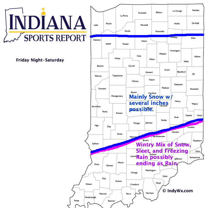
 Late weekend into early next week features another complicated and very complex event. We believe it’s far too early to buy into any one particular solution provided by the various forecast models, but certainly have to “raise an eyebrow” to the mostly wet, warmer solutions. There’s an awful lot of dense arctic air around and with a widespread snowpack we have to wonder if modeling may be overdoing the warming (where have we seen this before ;-)).
A wavy front may lead to more wintry “mischief” Sunday into early next week. Again- far too early for specifics, but additional wintry weather is certainly possible.
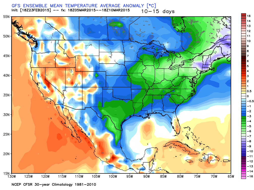
 In the longer term, there’s just no let up in sight from the colder than normal conditions. Sure we may see a couple of days of milder air (we are heading into March, after all), but, as a whole, the majority of the upcoming couple weeks look MUCH colder than normal.