Meteorological spring began March 1st (though you wouldn’t know it with all of the cold and snow lately). Snow dominated the headlines in March with nearly a foot that fell. Cold also was a story as temperatures ran significantly below normal. Check out these impressive stats, courtesy of the Indianapolis National Weather Service:
- The 10.2″ of snow that fell at Indianapolis on the 24th set the daily snowfall record and 2nd snowiest March day ever.
- The 11.6″ of snow at Indianapolis resulted in March 2018 going down as the 6th snowiest March on record.
- Temperatures ran 3.3° below average.
Though we’re only a few days into the month of April, the fourth month of the year is already trying to “out do” March. Sleep has been few and far between here in the good ole forecast office with such an active start to the month. From the heaviest Easter snow on record to setting the wettest day in April ever and widespread flooding, we’ve had it all in just the first (3) days!
- Indianapolis recorded 3.9″ of rain on the 3rd- good for the daily rainfall record and greatest amount of rain within any April day on record.
- Easter snow: though some places received more (3.2″ at Whitestown and up to 6″ of snow at Lafayette and Frankfort), Indianapolis accumulated 2.1″ which set a record for snowiest Easter and snowiest April 1st.
At one time what looked like another snow-starved snow season is now getting oh so much closer to “average,” with the late season rally. As the saying goes, “it’s never over until it’s over!” In Whitestown, we’re now over 30″ on the season! Indianapolis is up to 22.7″ on the season and only 3″ below average.
Looking ahead, the upcoming couple weeks should continue to promote an active pattern. Temperatures should follow the colder than normal theme and precipitation should run above average. For the snow, we’re not done with that yet, either! Speaking of snow, we’re tracking additional opportunities for snowfall this weekend and again early next week… Hang in there, spring will get here eventually…

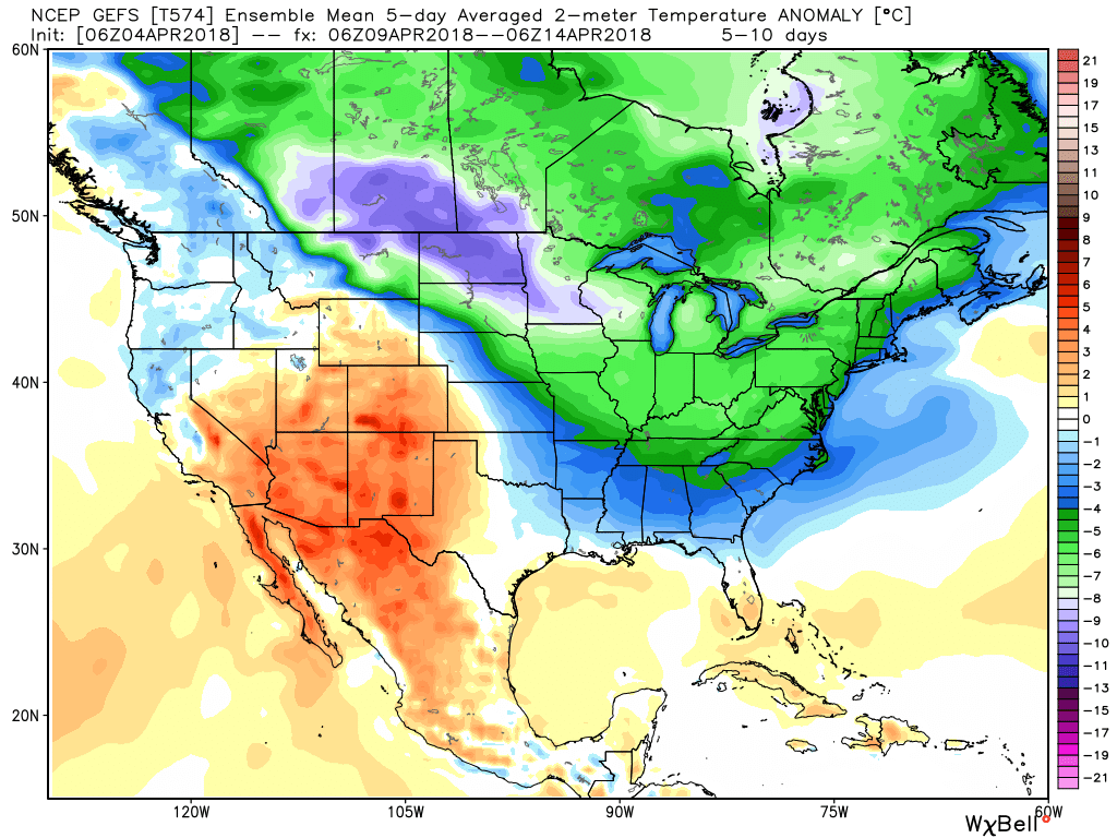
More of a winter than spring feel this week. Image courtesy of Weatherbell.com.
Colder than average temperatures continue in the 6-10 day.

Additional opportunities of accumulating snow are present over the next couple weeks.

An active pattern remains…

 II. As we look ahead, our next weather system will scoot into the region over the weekend. This will be a weak event and we only expect a light mixture of snow and rain Saturday evening.
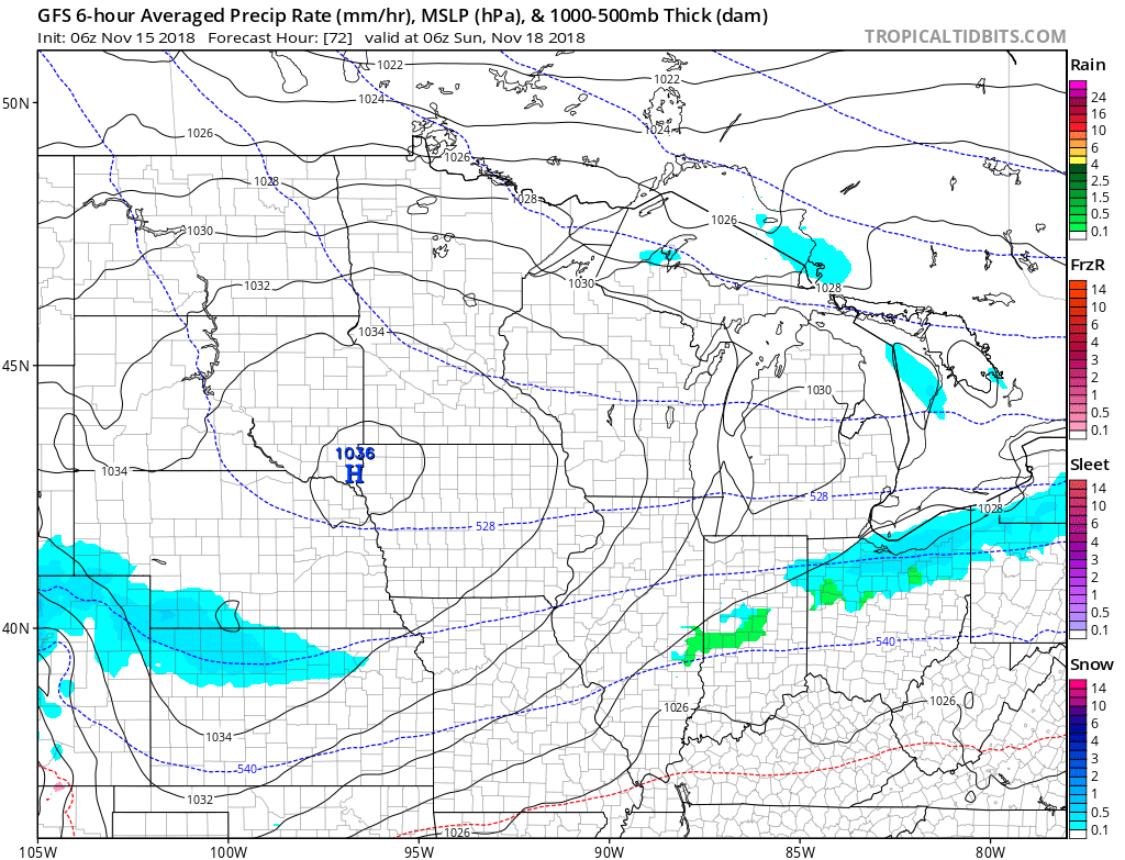 III. The balance of Thanksgiving week looks rather quiet, but chilly, thanks to high pressure. The stretch of below to well below normal temperatures will continue, overall.
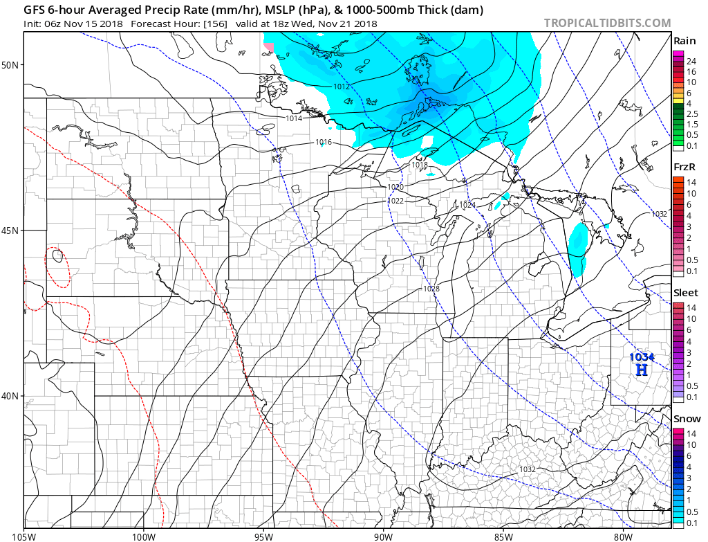
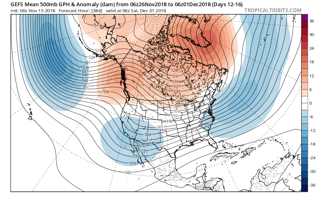
 IV. As we look ahead, the pattern sure looks cold and stormy as we open December. On that note, the majority of data continues to trend colder for the month of December, as a whole, and with high latitude blocking in place, we’d expect to see an active storm track across the country. If you like it cold and active for the holidays, you just might be in luck this year… More on that later!