You must be logged in to view this content. Click Here to become a member of IndyWX.com for full access. Already a member of IndyWx.com All-Access? Log-in here.
You must be logged in to view this content. Click Here to become a member of IndyWX.com for full access. Already a member of IndyWx.com All-Access? Log-in here.
You must be logged in to view this content. Click Here to become a member of IndyWX.com for full access. Already a member of IndyWx.com All-Access? Log-in here.
You must be logged in to view this content. Click Here to become a member of IndyWX.com for full access. Already a member of IndyWx.com All-Access? Log-in here.
The next couple days will be the last of temperatures in the upper 70s to lower 80s until next spring. The first of 2 cold fronts will settle into central Indiana tomorrow evening followed by a strong frontal passage Monday. If you rather go right to the punch line instead of reading through the rest of this post, trick or treaters will need the heavy cold gear this year.
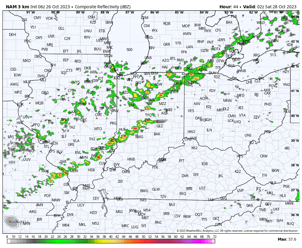
A few showers will skirt northern counties later this evening but the lions share of the next 36 hours will be rain-free. A line of showers and even thunderstorms will be associated with Friday evening’s cold front.
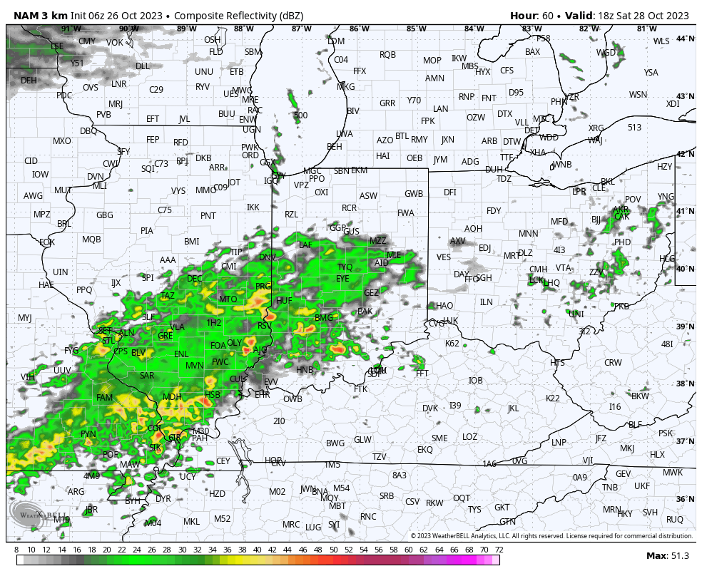
A much more widespread, heavier rain will build into central Indiana through our Saturday afternoon. It’s this period, continuing into Sunday where the bulk of our widespread 1”+ rain will come. A smaller axis of heavier totals (2”+) likely sets up shop south of the city, itself.
After a “step down” process to cooler air Friday into Saturday, the bottom will really fall out Monday. This will set us up for a downright cold Halloween (lows in the upper 20s with highs in the lower 40s). Add in winds and the “feels like” will be in the 10s and 20s into the 1st day of November.
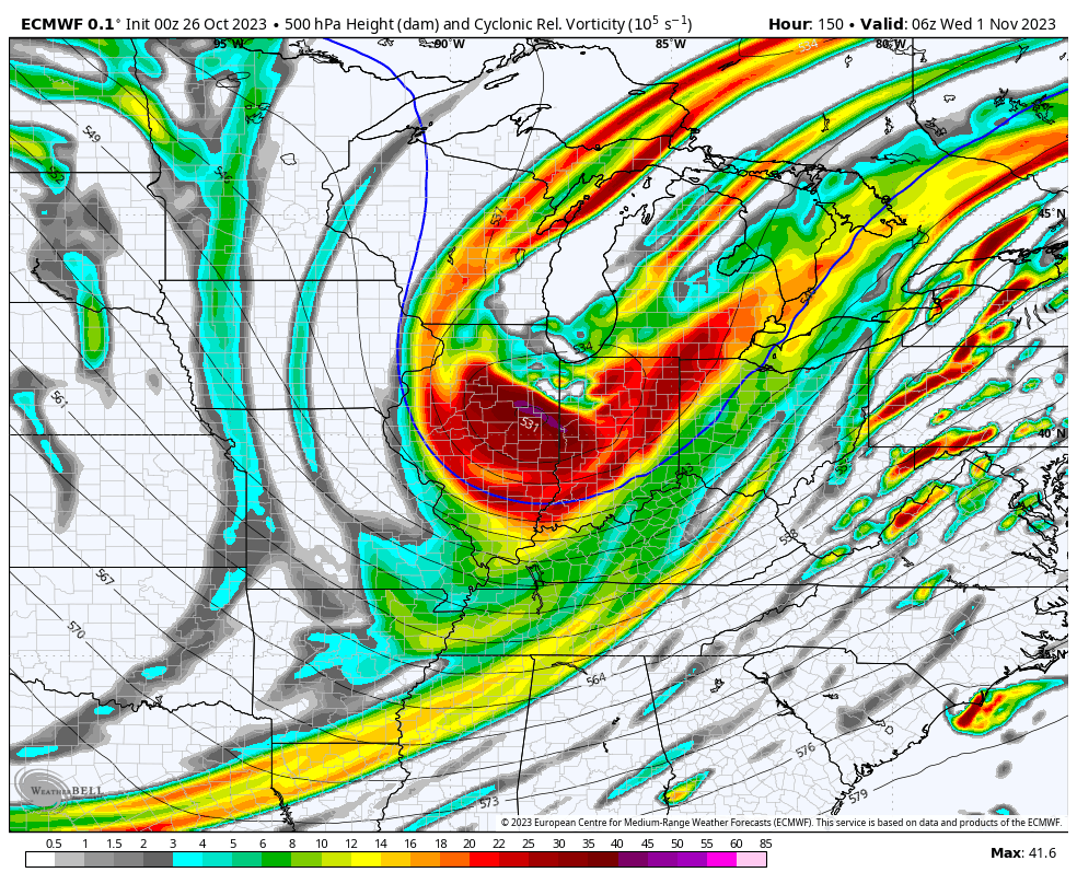
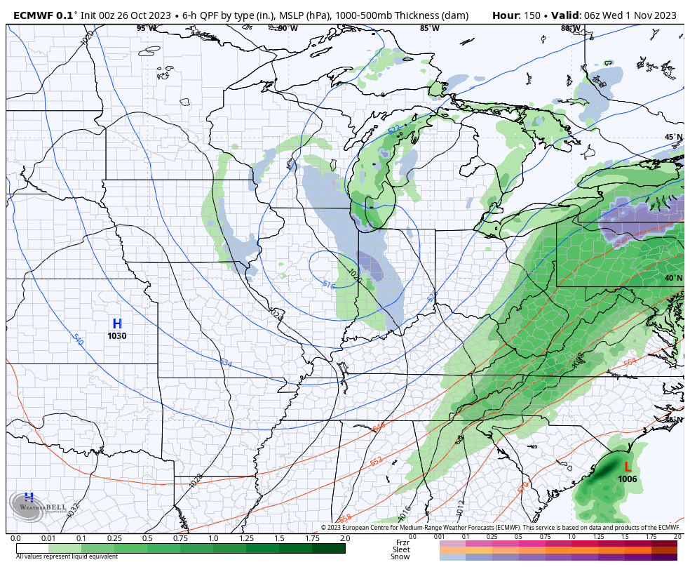
If that isn’t enough, trailing upper level energy will push into the area Halloween night and have enough moisture to generate snow showers late into Wednesday morning. A renewed push of gusty winds can also be expected during this time period.
Coldest mornings of this stretch will likely take place next Wednesday or Thursday with overnight lows into the middle to upper 20s.