Category: Windy

Rain And Embedded Thunder Increases This Afternoon; Strong Wind Event Tonight…

Our quiet Saturday will transition to a rather “bumpy” time of things by the afternoon into tonight as a storm system moves through. Showers and embedded thunder off to our southwest this morning will rumble across central Indiana this afternoon and evening.

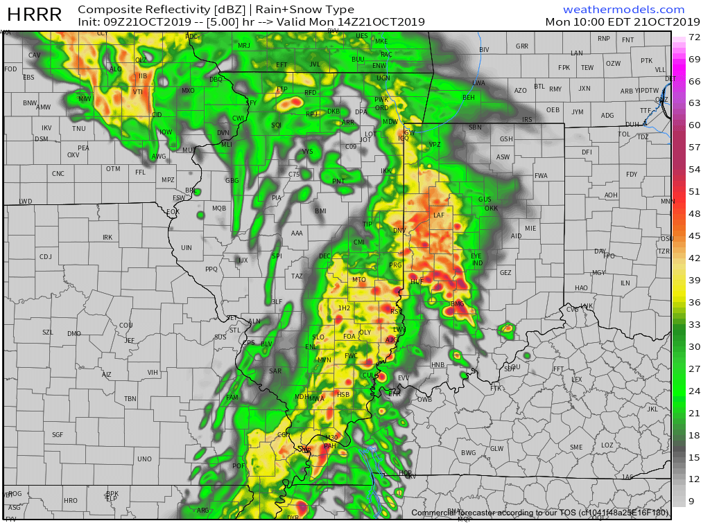
Radar update at 11:15a

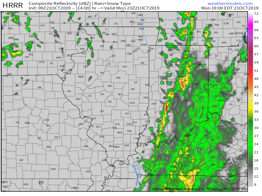
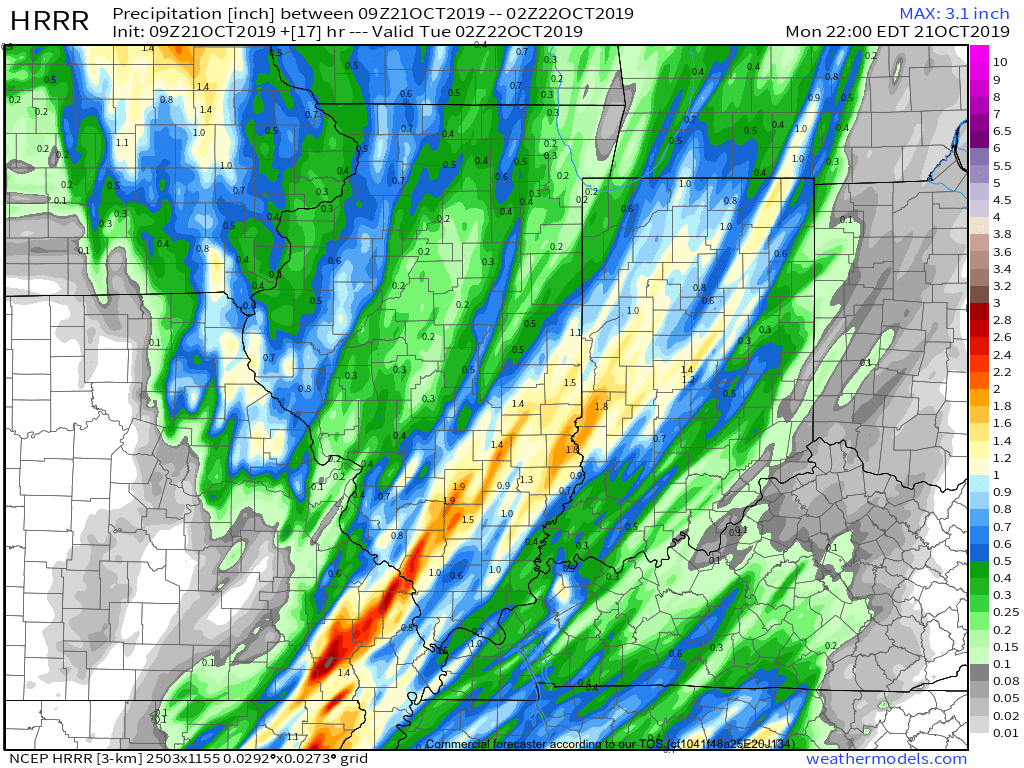
Forecast radar products show widespread showers and embedded thunder through the afternoon hours into the evening. Coverage of rain will be greatest between 2p and 6p. Some locally heavy downpours are possible. While severe weather isn’t expected across central Indiana, a few strong to severe storms, capable of damaging straight line winds, will be possible across southern parts of the state. Storm total rainfall amounts of 0.75″ to 1.25″ will be common across the region.

Attention will then shift to strong and gusty winds this evening into tonight. Gusts of 50-55 MPH will be common across central Indiana during this timeframe. Unfortunately, downed trees and potential for power outages will be on the increase tonight.

Winds will remain gusty into Sunday morning, but begin to diminish through the day.

Permanent link to this article: https://indywx.com/rain-and-embedded-thunder-increases-this-afternoon-strong-wind-event-tonight/

VIDEO: Storms Rumble In This Afternoon; Looking Ahead To The Remainder Of March…

A wet and stormy time of things will develop this afternoon, followed by increasingly gusty winds tonight and early Sunday. Winds will gust in excess of 50 MPH at times…

You must be logged in to view this content. Click Here to become a member of IndyWX.com for full access.  Already a member of IndyWx.com All-Access?  Log-in here.

Permanent link to this article: https://indywx.com/video-storms-rumble-in-this-afternoon-looking-ahead-to-the-remainder-of-march/

Friday Morning Video Update: Unsettled And Windy Weekend On Deck…

The weekend will feature showers and thunderstorms along with strong and gusty winds (in excess of 50 MPH at times Saturday evening-night)…

You must be logged in to view this content. Click Here to become a member of IndyWX.com for full access.  Already a member of IndyWx.com All-Access?  Log-in here.

Permanent link to this article: https://indywx.com/friday-morning-video-update-unsettled-and-windy-weekend-on-deck/

All-Access Video: Does Another High Wind Event Loom This Weekend?

The potential of another high wind event this weekend is on the table and we look ahead to a much colder than average open to March…

You must be logged in to view this content. Click Here to become a member of IndyWX.com for full access.  Already a member of IndyWx.com All-Access?  Log-in here.

Permanent link to this article: https://indywx.com/all-access-video-does-another-high-wind-event-loom-this-weekend/

Potential Wintry Mischief Through Early March? Late Month Changes…

Top wind gusts today have reached 66 MPH at IND with numerous reports of downed trees and power lines throughout the northern half of Indiana.

As we look ahead through the upcoming week, a couple of rather minor systems may deal light precipitation to the area, but it’s what lies ahead next weekend that’s already drawing interest. Unfortunately, modeling is trying it’s best for a “repeat” high wind event next Saturday.

The overall setup is eerily similar as a rapidly strengthening surface low tracks northeast into the Great Lakes region. This setup would once again support 50+ MPH gusts.

With the pattern change underway at this point, colder air will be more readily available and backside snow may be more “meaningful” next weekend. That’s something we’ll be keeping a close eye on.

Winter weather enthusiasts will have a couple of weeks of at least being on the playing field for the possibility of late season accumulating snow, but it continues to look like that window closes quickly by mid-March as a true spring pattern takes hold.

A much colder than average pattern can be expected through the first half of March, including the potential of a couple opportunities for late season accumulating snow.
Once to mid-March, eastern ridging is expected to take hold of the pattern and result in a much warmer 2nd half of the month.

For those who watch the operational data with each and every update (sometimes as much as 4 times per day)- tread with caution. While significant late season winter storms can result from such a pattern change that’s underway, it’s impossible to worry about specifics in this type of regime until within 4-6 days.

It would appear the pattern would support potential “fun and games” next Saturday, the 2nd, and possibly again in the March 5th-6th time frame.

Enjoy it while you have it, lovers of winter… Signals continue to point towards a significant shift to warmer times for the 2nd half of March.

Permanent link to this article: https://indywx.com/potential-wintry-mischief-through-early-march-late-month-changes/