Severe Weather Video Brief Tonight-Wednesday

The region remains under fire for severe weather potential, primarily for damaging straight line wind and hail per latest thinking.  The video uncovers when you can expect this and looks ahead to the all-important Memorial Day and Indianapolis 500 weekend!

The region is under fire for severe potential Wednesday.

Thursday Evening Update; Repeat In The Pattern Coming To End May?

Many central Indiana neighborhoods are still in the 40s as of this update.  Officially, the high so far today at IND has reached 50 and is more than 20 degrees below where we should be for this date.

The upper low continues to swirl over Iowa this afternoon and will help push a band of showers into central Indiana during the wee morning hours Friday.  Additionally, the threat is there that a couple of the stronger showers Friday afternoon include some small hail with added instability and the very cold air aloft.

20140515_2045_sm_EVV_vis


As we look ahead to the second half of May, don’t be surprised by a repeat performance in this weather pattern.  We think brief ridging will be responsible for highs above the 80 degree mark the middle of next week, but the stage may be set for another stretch of unseasonably cool air to wrap up the month…. Additional details can be found in the video!

Tuesday Evening Video Brief; The Cool Down Is On!

Note how dramatic of a temperature shift is occurring to our west- temperatures are down more than 30 degrees from this same time last night.

t0

That cool air will filter into our region tonight and Wednesday.  As a matter of fact, we still think Thursday has the potential to remain in the 40s for the better part of the day.  The video below has more details on this and a look ahead to continued rainy times.

Monday Evening Video Update

It’s a warm and muggy evening across central Indiana and showers and thunderstorms are in your forecast.  More on this and the long advertised BIG cool down looming inside the…

You must be logged in to view this content. Click Here to become a member of IndyWX.com for full access.  Already a member of IndyWx.com All-Access?  Log-in here.

Smorgasbord Of Weather!

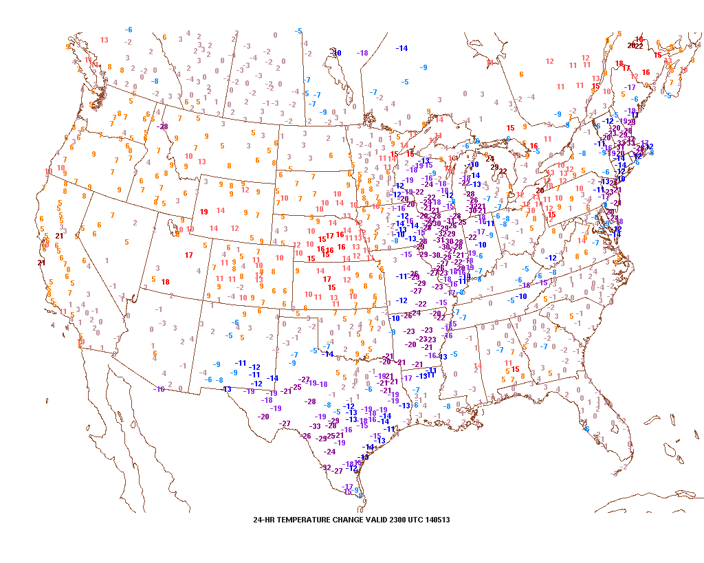
Posts this weekend will be a bit “off schedule” as I celebrate my brother’s graduation.  That said, posts will hit the site over the weekend and we’ll also keep you updated on our Twitter feed- @indywx.  A busy time of things lies ahead and a very active weather pattern will carry us into this time next week.  Let’s get into some of the details!

1.) (2) rounds of showers and thunderstorms will be likely Friday.  Weakening showers and embedded thunder will dissipate moving into central Indiana Friday morning.  That said, depending on the amount of clearing that takes place behind the first wave of showers and storms will go a long way into determining the severity of round two Friday evening.  The SPC (Storm Prediction Center) continues to highlight our area for a Slight Risk of severe weather (primary threats are large hail and damaging straight line winds) Friday evening.  We also note the latest high resolution NAM simulated radar shows potential strong to severe thunderstorms moving in tomorrow evening.

hires_ref_indy_24

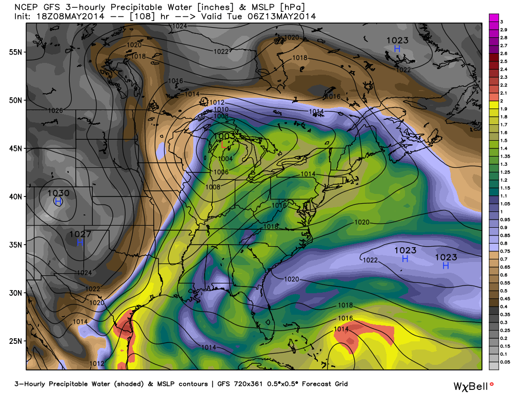
2.) A second heavy rain and storm maker will arrive early next week. The Gulf of Mexico is open for business and suggests some locally heavy downpours are a good bet with both storms.  This isn’t bad news as it’s been dry as of late.  We’re now on day 9 without measurable precipitation and that will be changing in a big way over the upcoming 7 day period.  Widespread 2″-2.5″ rains are a good bet over the upcoming week, including some locally heavier totals.

gfs_pwat_mslp_east_37

The detailed video discussion below covers more on the severe chances, heavy rain threat, and a much cooler pattern ahead!