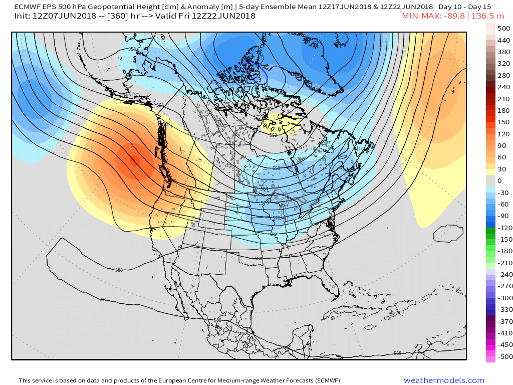
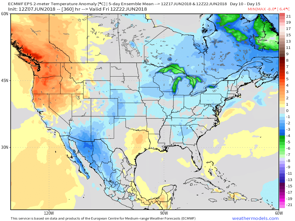
Upper Level Ridge (And Heat) Builds This Weekend…
As our attention shifts to the medium range, it’s becoming increasingly apparent that this weekend will be dominated by an upper level ridge “ballooning” over the Ohio Valley. Both the GFS and European forecast models (and their ensembles) show this.
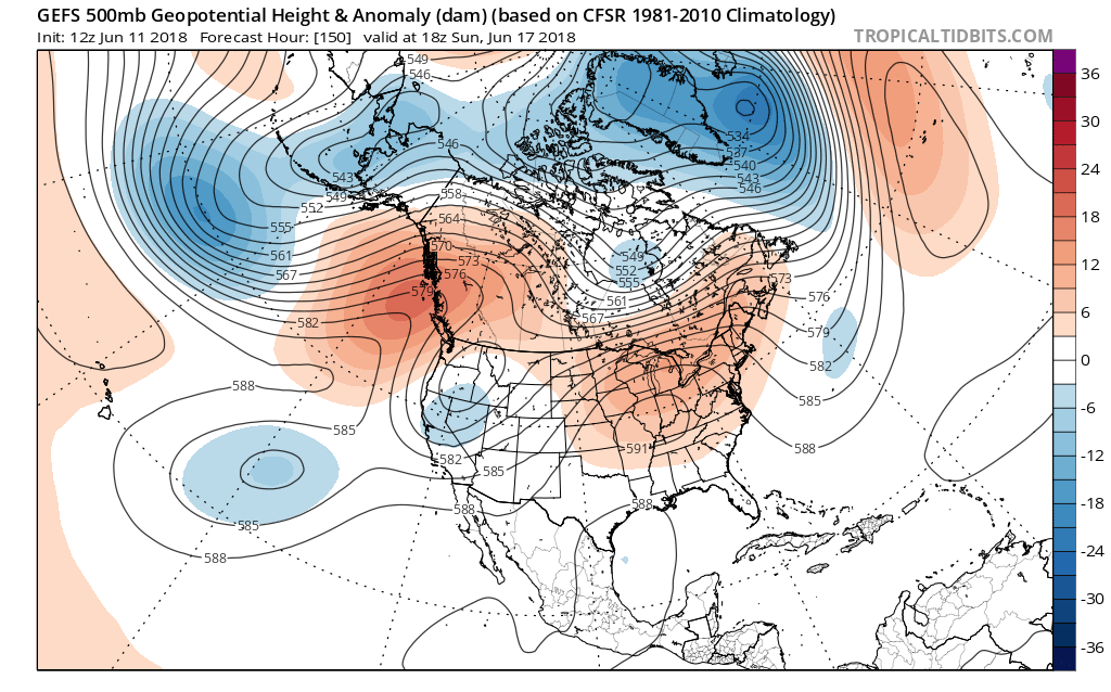
 The end result shouldn’t only be an increasingly hot pattern taking hold Friday through Monday, but one that features mainly dry conditions, as well. With the upper ridge expanding over the immediate region, the majority of central Indiana neighborhoods should expect to remain mostly dry this weekend (only “isolated” coverage of storms expected at best).
Highs Friday through Monday should flirt with 90°- if not exceed the 90° mark at times (hottest days appear to arrive Saturday and Sunday).
 Rain and storm coverage should increase early next week as a cold front approaches the region. With the increasing moisture, temperatures should also cool- at least slightly, as well…
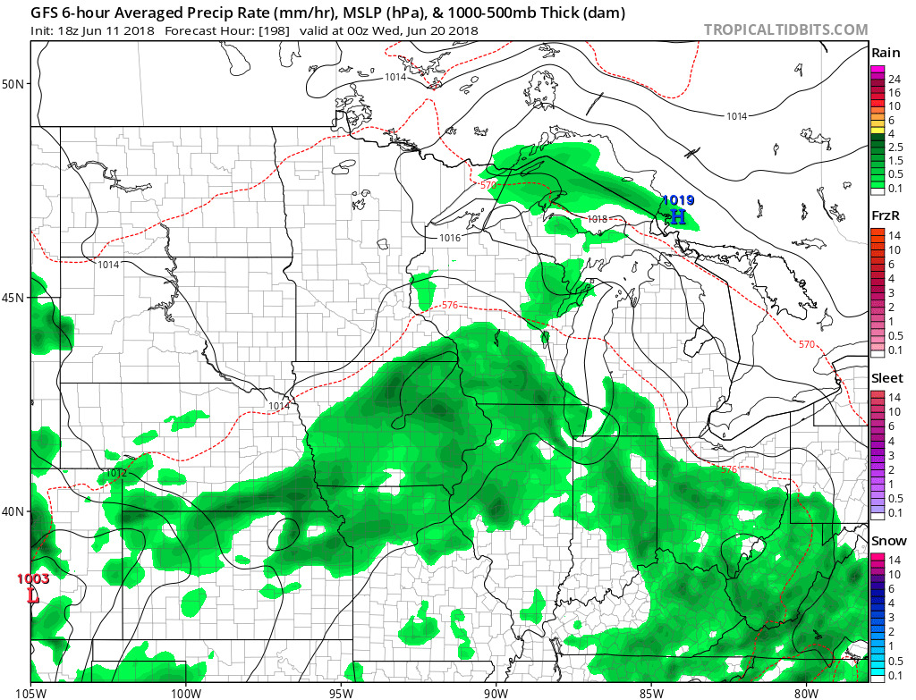
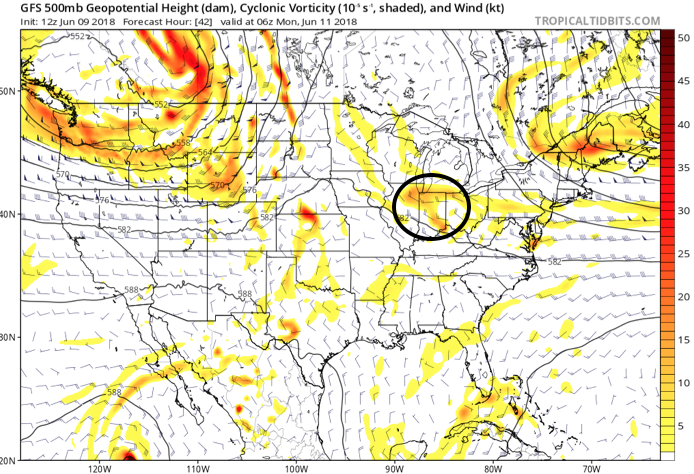

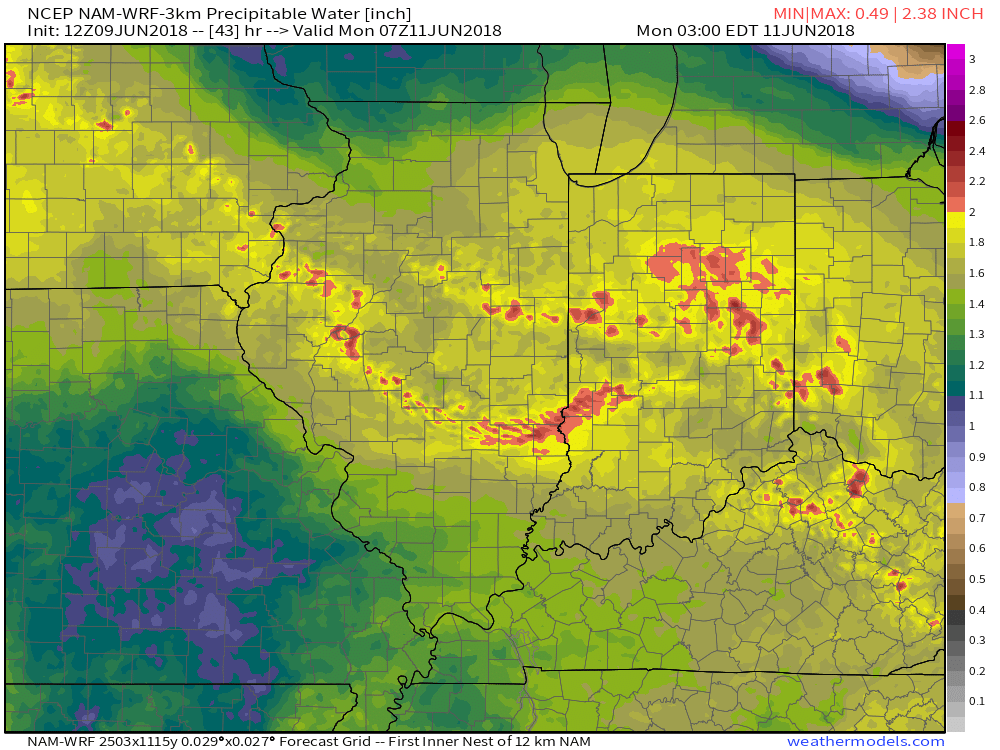


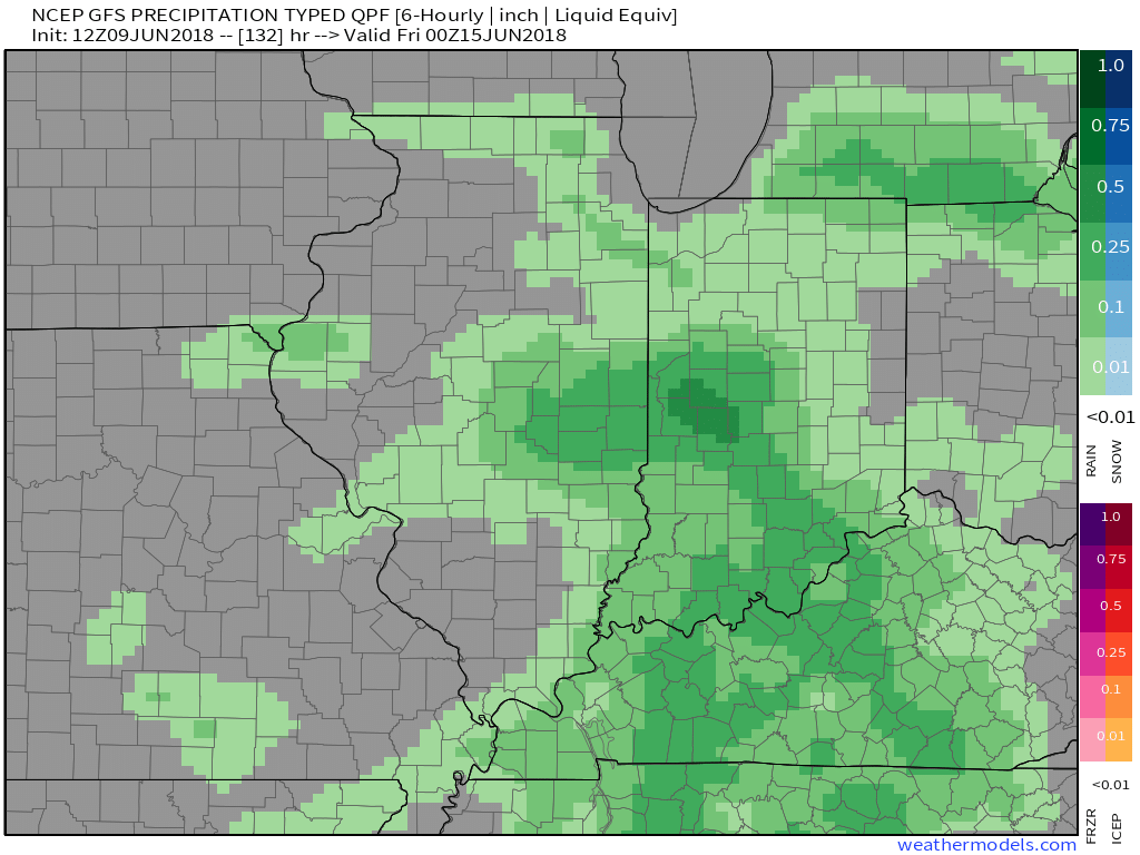 An early look at next weekend shows general agreement with the GFS and European forecast models: drier air returning along with slightly cooler air. We’ll keep you updated!
 Eventually these storms should pick up momentum and head off to the southeast later tonight.
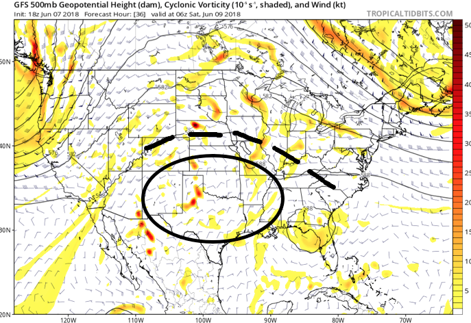 An increasingly muggy air mass will take hold of the region as we close the work week, with dew points approaching 70° at times. The term “air you can wear” comes to mind. As impulses of energy interact with this tropical air mass, thunderstorms will blossom- particularly in the afternoon and evening hours.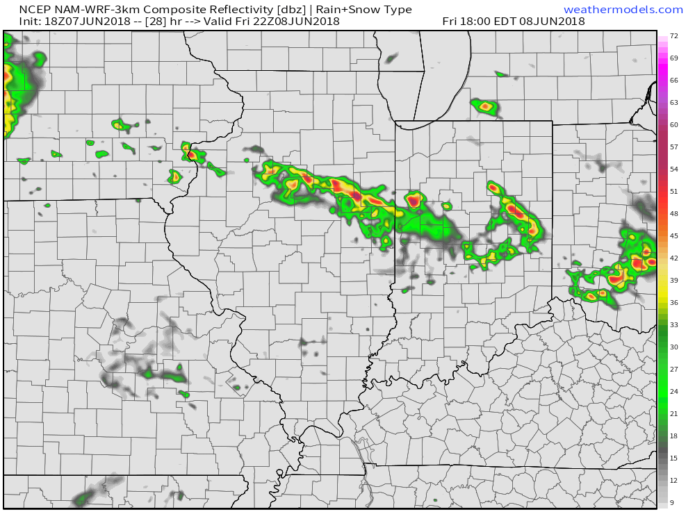
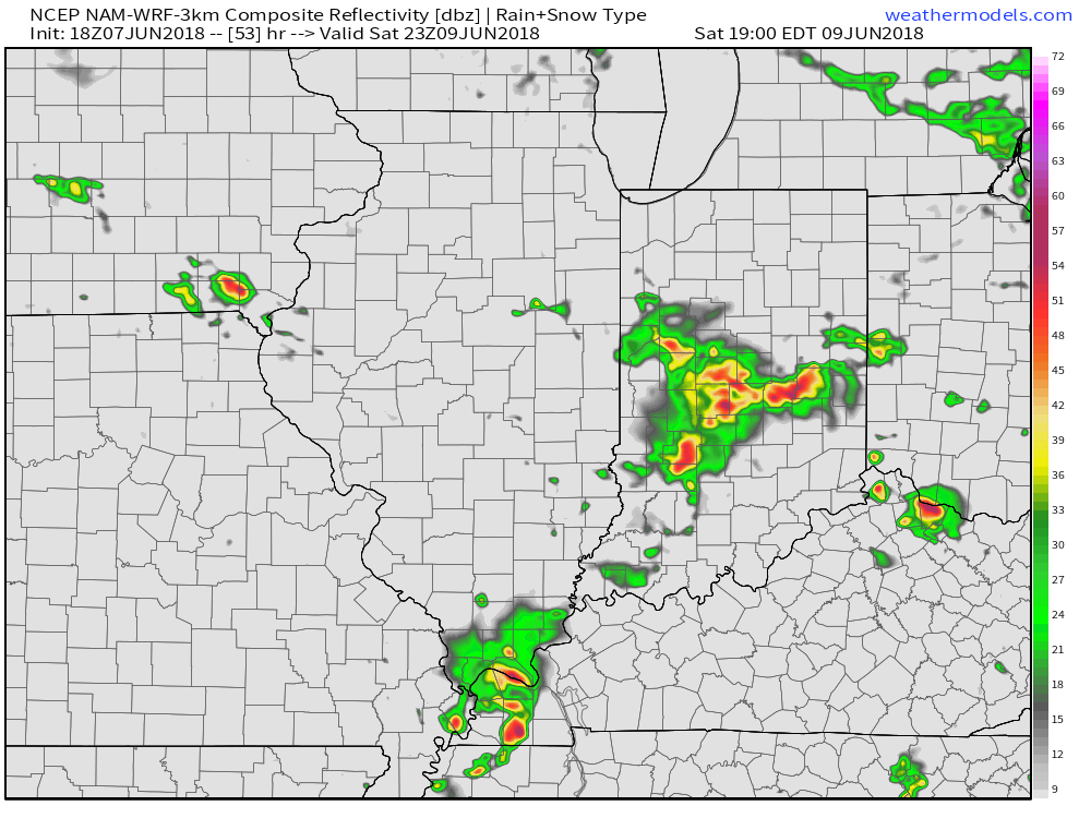 Looking down the road, a “sticky” summer feel will remain intact through next week, but changes are brewing in the longer range. These changes would support a cooler regime developing just past mid-June (in the 10 to 15 day time frame). While the duration is up for debate, it’ll be nice for at least a few days of cooler air…