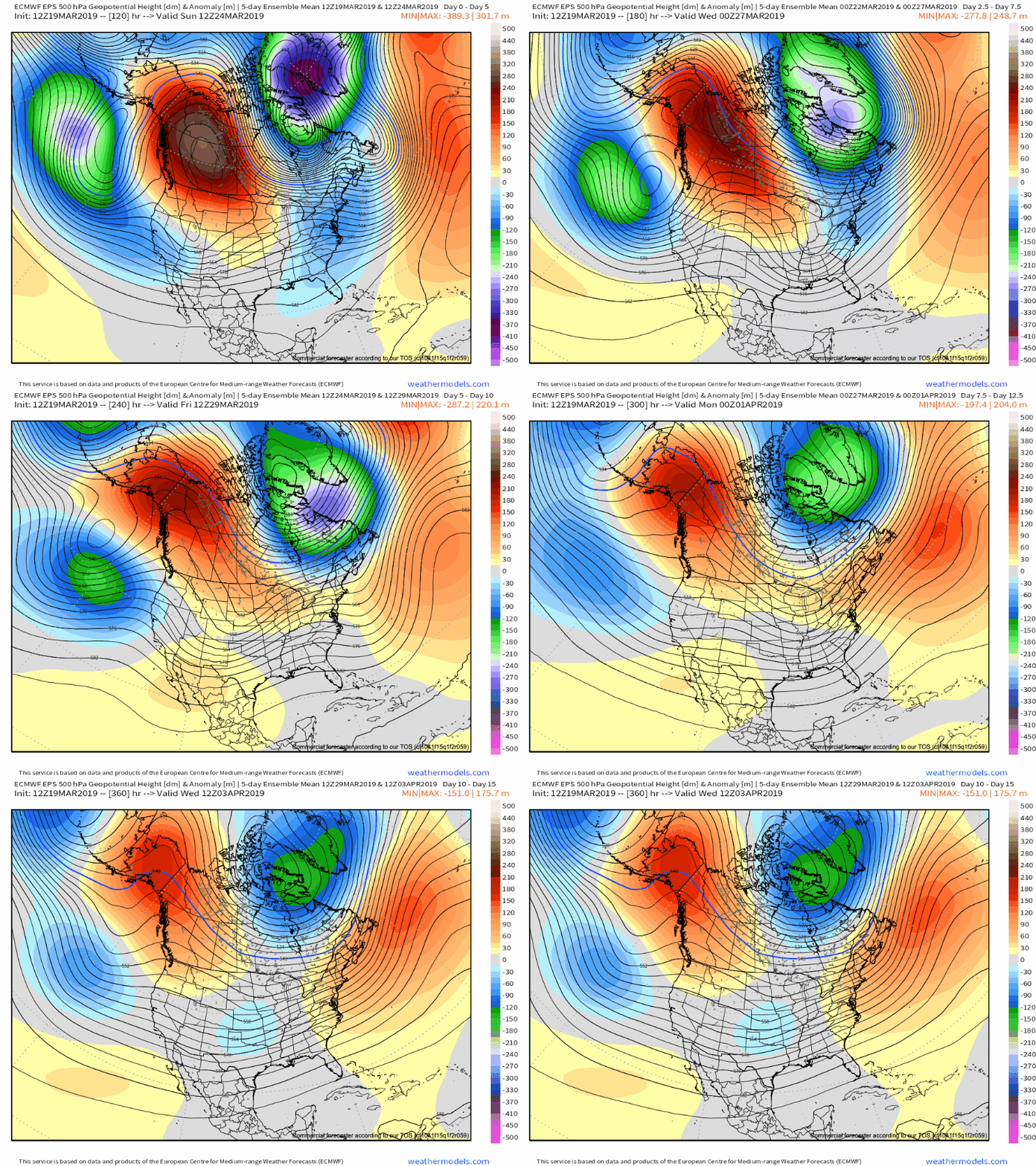
There are growing indications the once thought warm flip in the pattern will be delayed. While “seasonality” is helping us certainly improve in the temperature department from the frigid open to March, data is trending (and some dramatically so) colder for late March and early April.
Part of this can be attributed to the persistent AK ridge and positive PNA/ negative EPO pattern in place. Without question, medium and long range modeling as early as less than a week ago missed this. Note the above image and tendency for prolonged ridging across AK into early April. This will favor cooler anomalies downstream, including here across central Indiana. That’s not to say there won’t be multiple warm and pleasant days thrown in the mix (it’s late March, after all), but instead to say that the pattern overall looks much cooler when compared to what the majority of data was painting only a handful of days ago.
Embedded within this pattern will come a return of active times, including multiple storm systems of note over the upcoming 10-14 days. The flavor of said systems will change from originally thought as hefty rain and potential severe events to rain and perhaps some wintry precipitation. With that said, specifics are impossibly to come by in this “chaotic” pattern and we suggest staying tuned as we get closer to the arrival of the first system early next week.
Like your weather pattern “interesting?” You’re in luck over the upcoming couple of weeks…