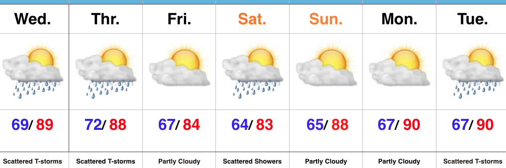
 Highlights:
- Scattered storms
- Saturday showers
- Surge of heat ahead of a late week cool down next week
More Dry Time Than Stormy…A warm and moist southwesterly air flow will have things feeling quite muggy today. This tropical feel will also help fuel scattered thunderstorms by evening, continuing into tonight. While everyone won’t get wet today, those that do have the potential of picking up a quick 1″ in a short period of time. A cold front will cross the state Thursday and will keep scattered showers and thunderstorms going. While this isn’t a uniform soaking, we’ll take what we can get as things have been bone dry around these parts lately.
After a quiet and slightly cooler Friday, an upper level disturbance will deliver another round of showers and embedded thunderstorms Saturday. Dry weather will return to wrap up the weekend Sunday.
Looking ahead, a surge of heat, albeit brief, will have things feeling quite toasty around the Mid West early next week. We think we flirt with, or exceed, the 90° mark both Monday and Tuesday. Thunderstorms will increase Tuesday as a cold front drops in from the northwest. Behind the front, data still paints a much cooler regime for the second half of next week; fall-like!
Upcoming 7-Day Precipitation Forecast:
- Snowfall: 0.00″
- Rainfall: 0.75″ – 1.25″
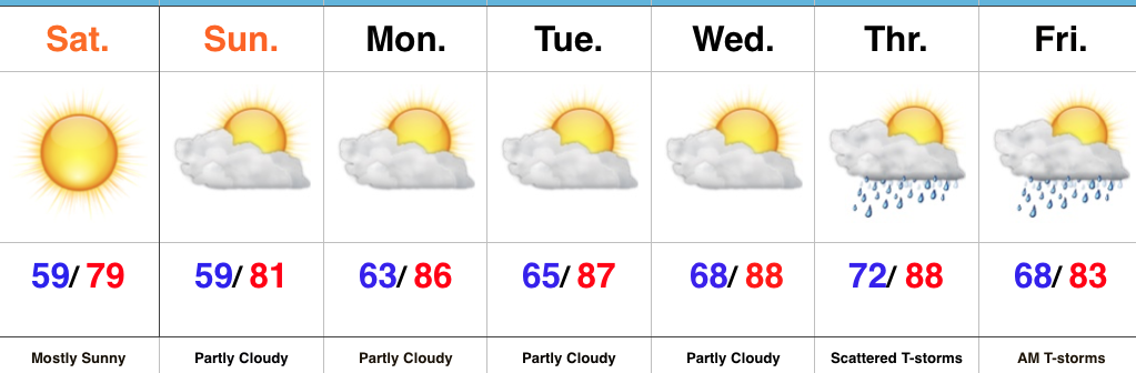 Highlights:
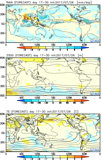
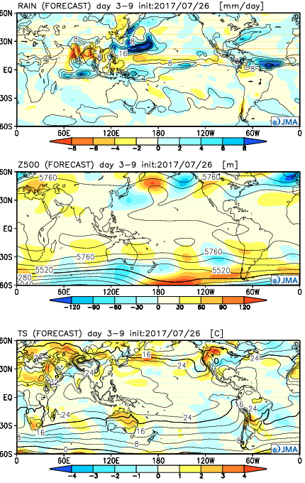 Week 2:
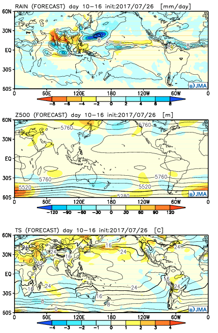 Weeks 3-4: