An early fall-like air mass will blow into town Tuesday night on the heels of a cold front and associated area of low pressure. Most central Indiana neighborhoods will wake up to temperatures in the 50s Wednesday through Friday mornings. A few communities may even dip into the 40s! Afternoon highs will only top out in the mid to upper 70s with dry conditions during the period.

Get ready for a “hint” of fall for the 2nd half of the work week.
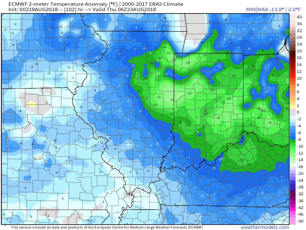
Temperatures will run well below average Wednesday and Thursday.
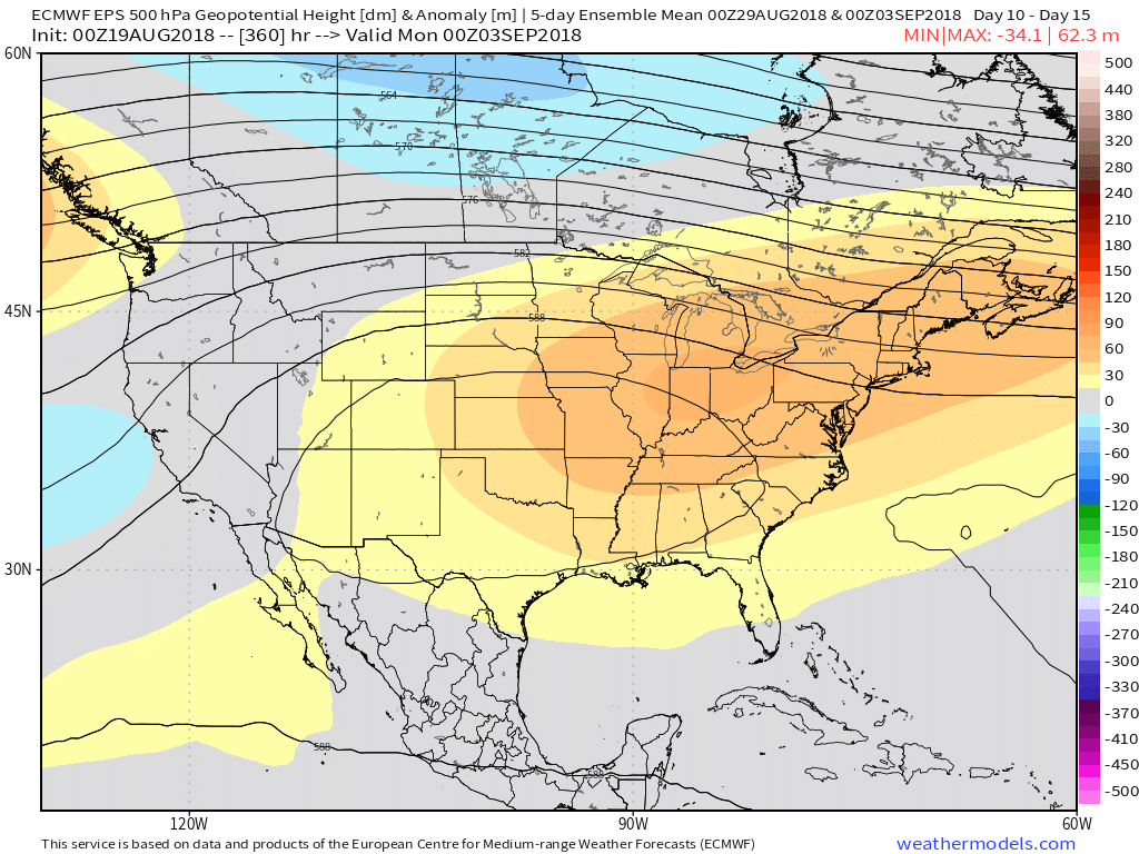
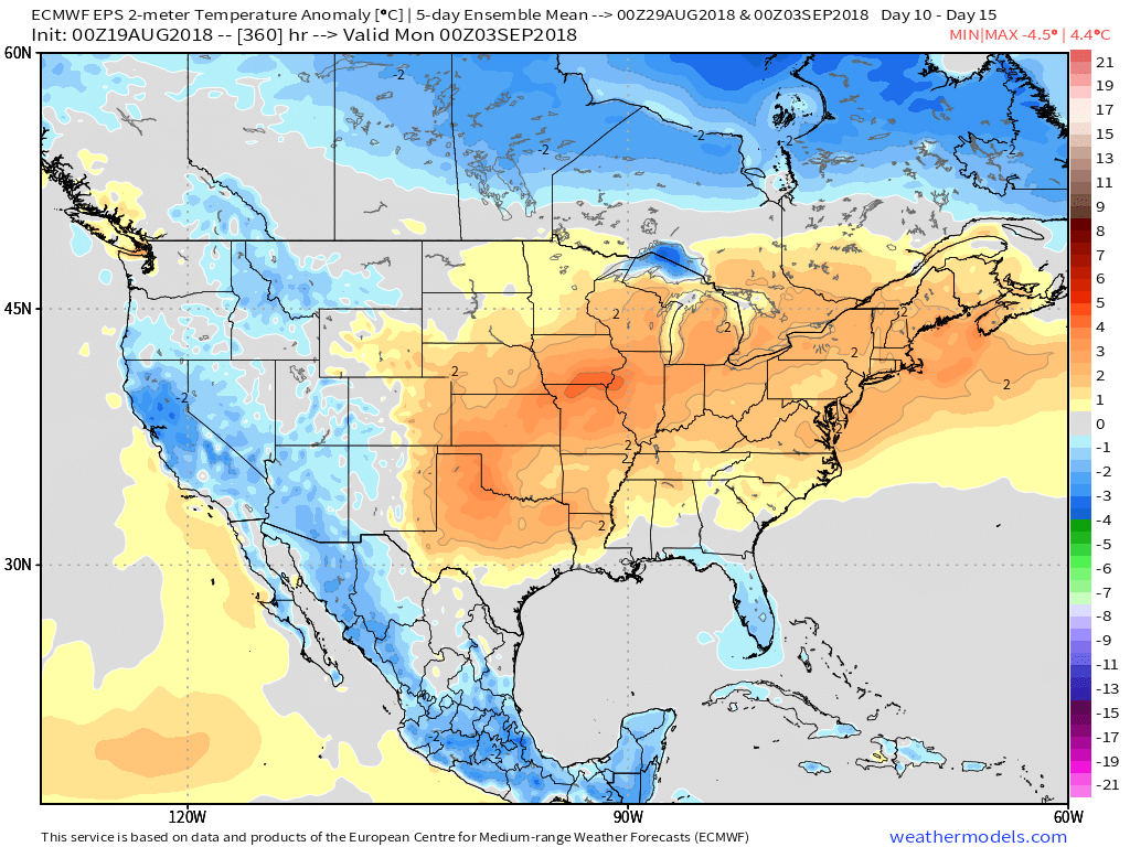
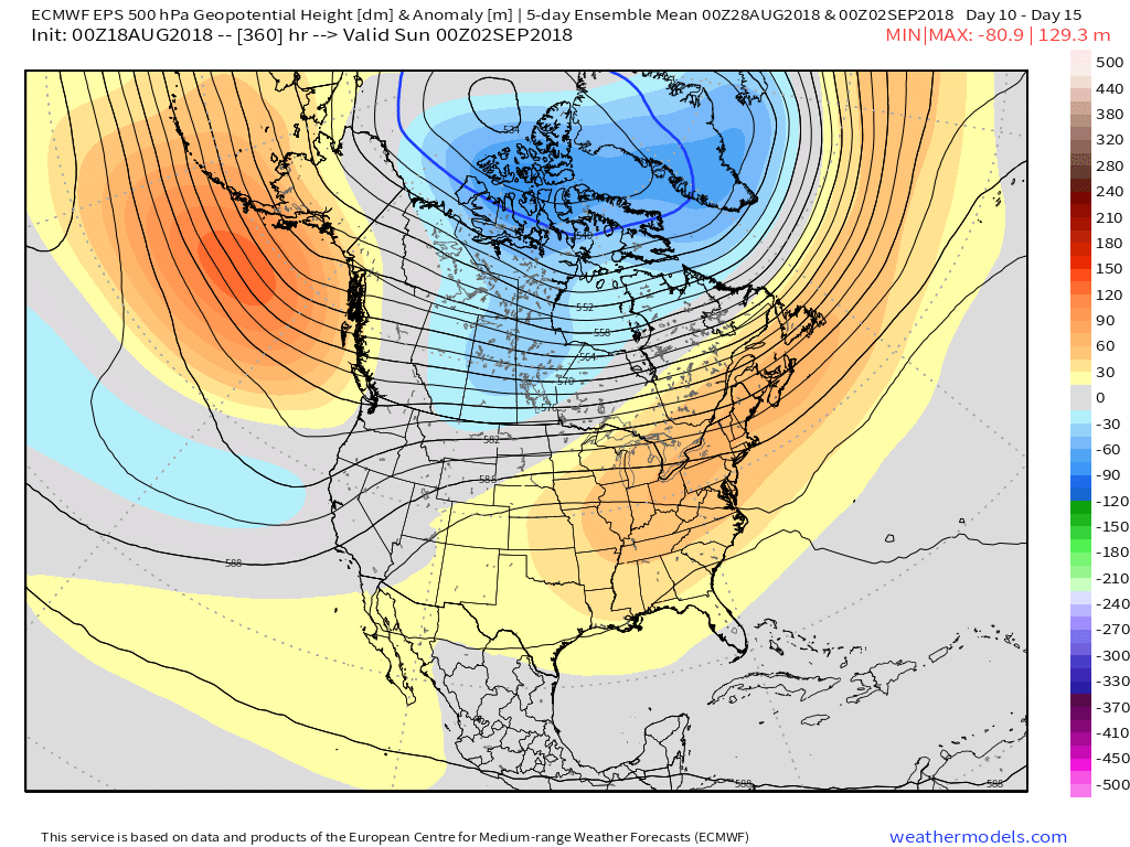
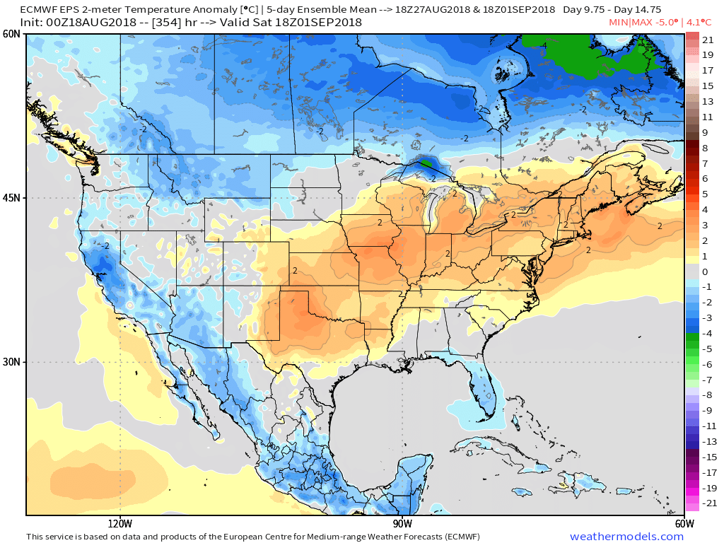
As we’d come to expect this time of year, the coming cool change won’t be a permanent “stick and hold” type deal. An upper ridge will expand as we close August and open September and the result will be renewed summer warmth just in time for the Labor Day weekend. This type of pattern should promote highs at least flirting with the 90° mark and oppressive overnight lows around 70°.

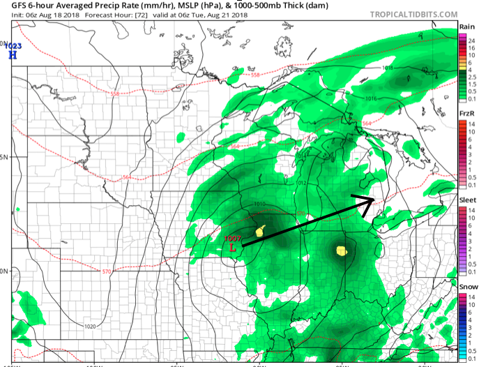
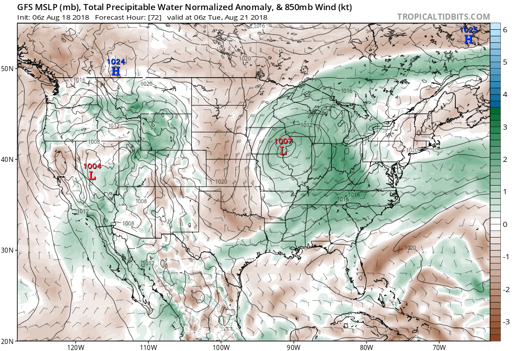 Scattered thunderstorms will return as early as Monday afternoon, but more widespread shower and thunderstorm activity is expected Tuesday. While not a textbook set-up for widespread severe weather by any means, enough ingredients are in place to at least raise an eyebrow for a few severe storms ahead of the cold frontal passage. Don’t be surprised if the ‘marginal’ risk is upgraded to a ‘slight’ risk for Tuesday in future updates from the Storm Prediction Center.
 Once the cold front moves through, a rather abrupt wind shift will drive a much drier and cooler air mass southeast and it’ll feel like early autumn around these parts as we progress through the second half of the work week. Not only will the significant drop in humidity be nice, but some outlying areas away from the city will likely fall into the 40s for overnight lows Thursday and Friday mornings. Highs will only top out in the mid to upper 70s.
 Looking longer term, summer isn’t finished just yet. Ridging will return for the Labor Day weekend and support building warmth as we put a wrap on August and open September.
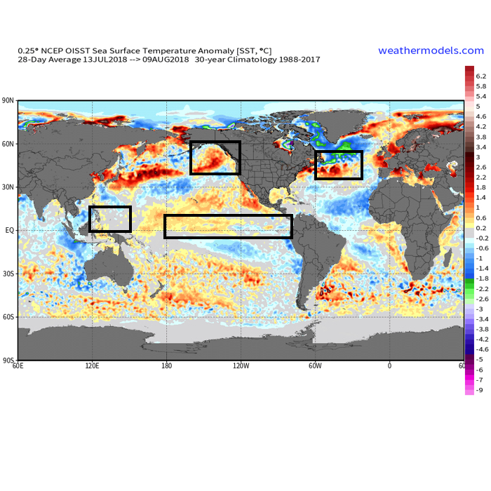 The early “baseline” of our ideas focuses on the likelihood of El Nino returning for the upcoming winter season. As we’ve stated many times in the past, each Nino event is different from one another and other ingredients (highlighted above) can play a significant role in ultimately determining the eventual outcome.
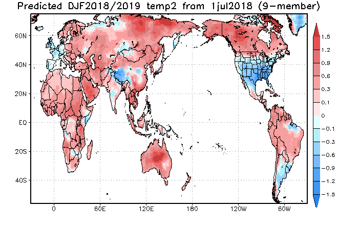
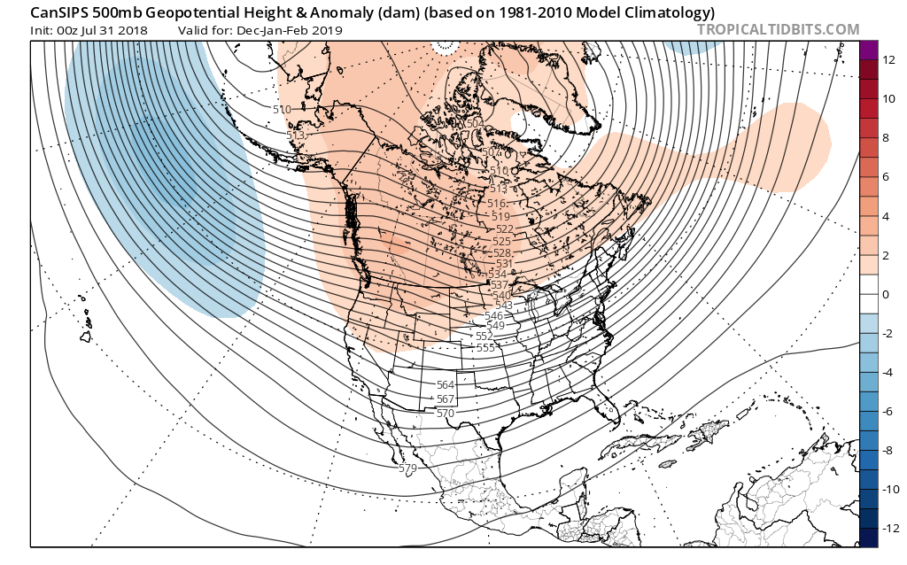

 That sea surface temperature configuration in the northern Pacific argues for western Canada ridging and downstream troughiness such as the JAMSTEC, European, and CanSIPS would imply.

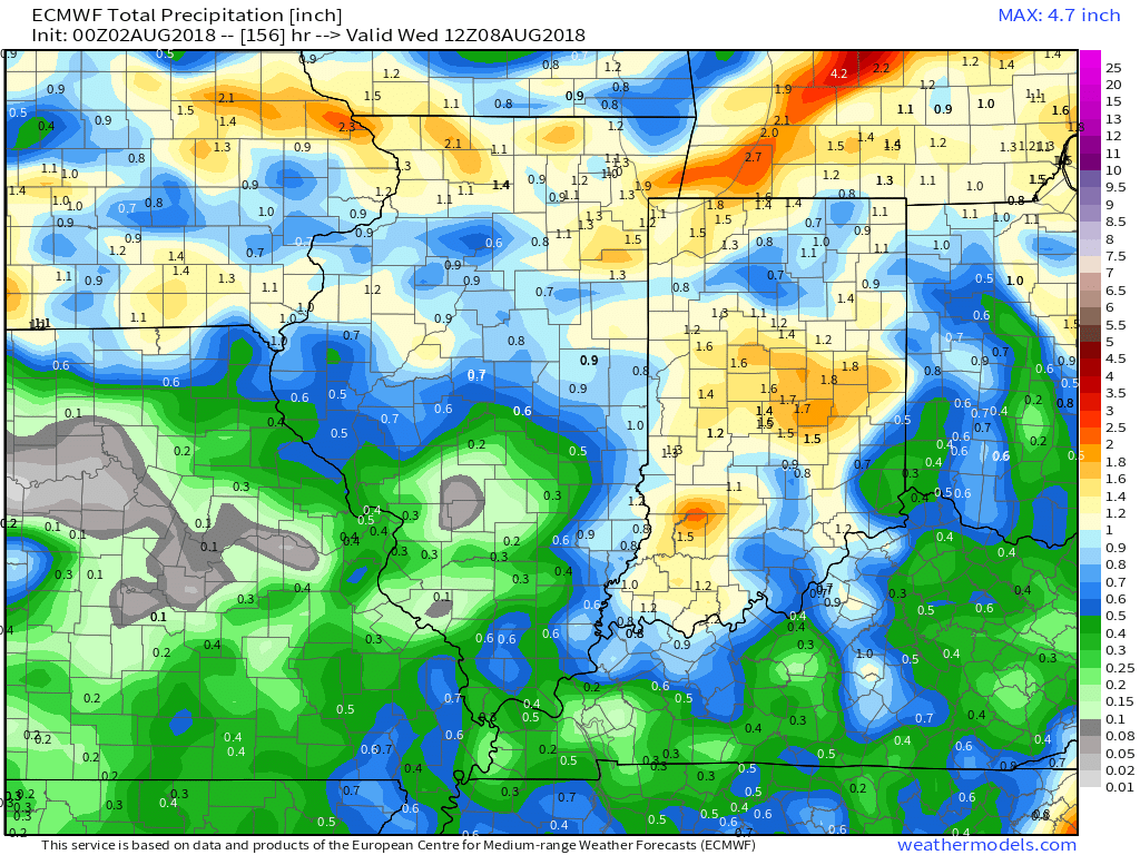
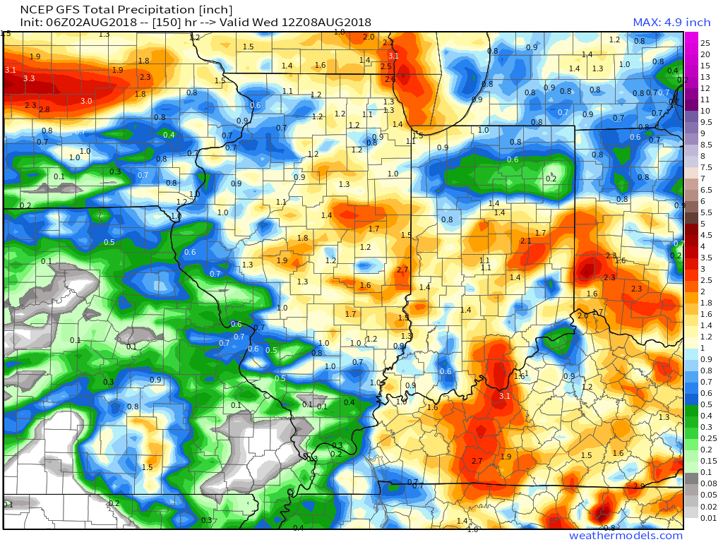
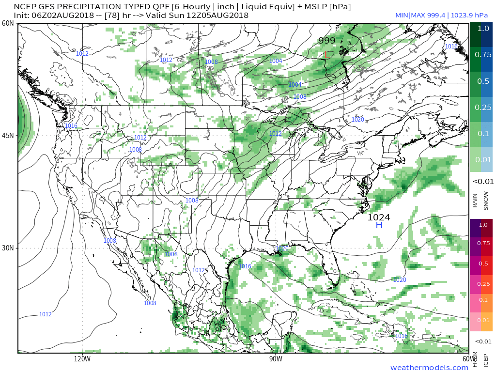 That storm system will settle south and begin to impact central Indiana early next week with storm chances increasing Monday into Tuesday. With rich tropical moisture in place, locally heavy rain will be likely as the front moves in.
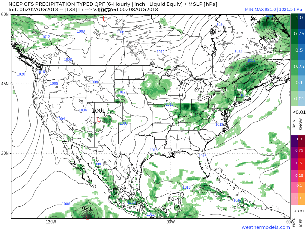 Models are in overall agreement of additional significant rainfall early next week (widespread 1″ to 2″).