Long Range Report: Cooler, Drier Week 1 Turns Wetter To Close March; Open April…

Updated 03.16.24 @ 7:55a

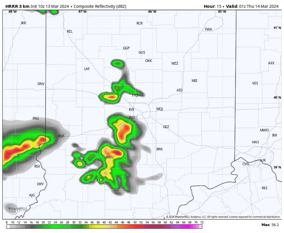
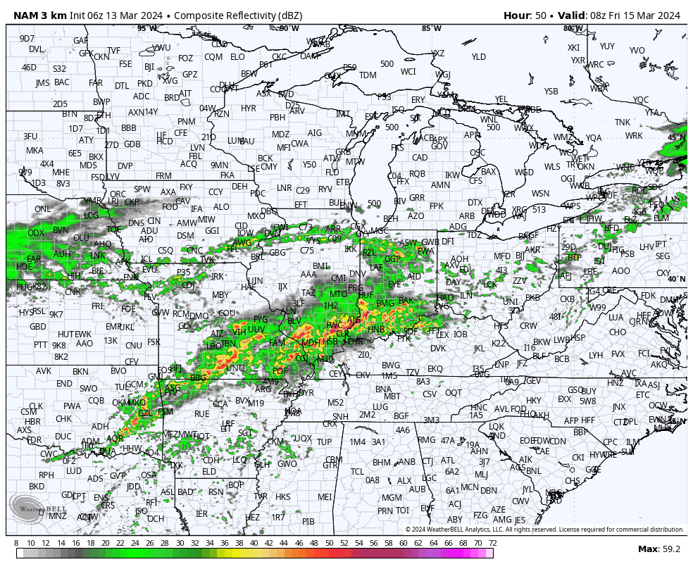
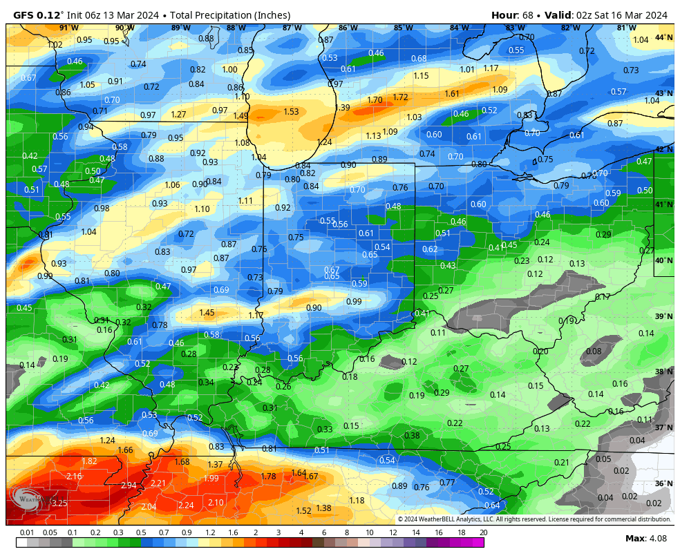
Indianapolis is running right at average month to date from a rainfall perspective (1.78”).

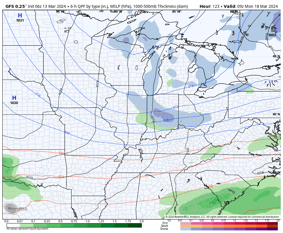
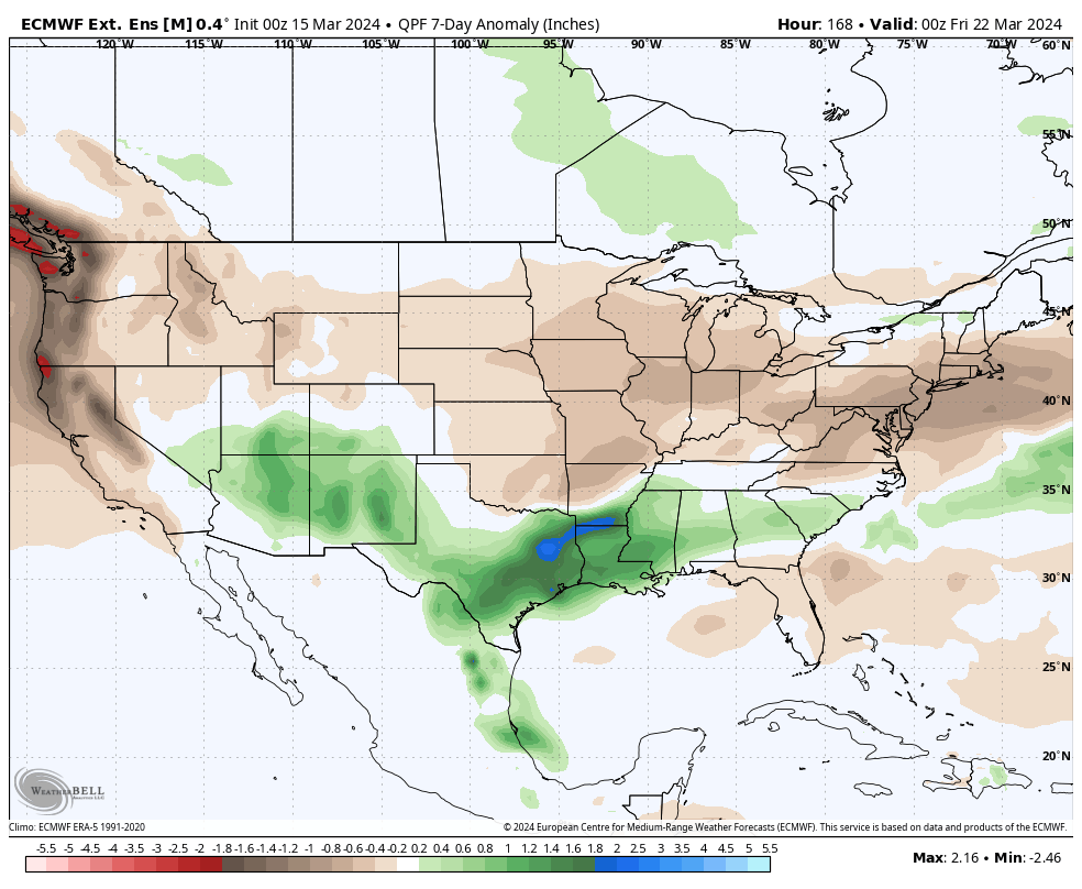
We’re transitioning to a much drier pattern in the week ahead as a cooler, Canadian airmass dominates (for a change).

Several hard freezes (mid-upper 20s) are on tap in the upcoming 7-10 day period: Monday/ Tuesday morning and again late next week/ next weekend.

Cooler? Yes, but I still don’t see anything overly cold on the horizon as we navigate the next couple of weeks.

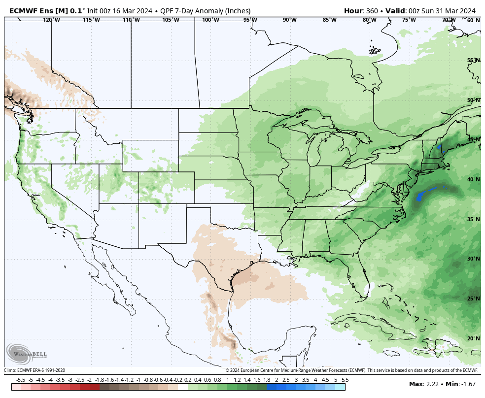
What’s more notable is the shift in the precipitation pattern over the next few weeks. The dry Week 1 (now) transitions to a significantly wetter and more active look Week 2 (below).

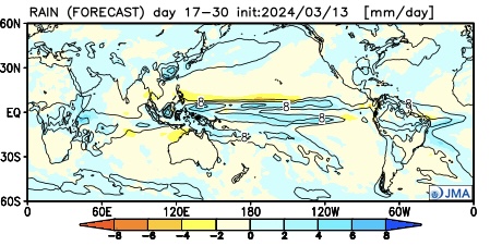
The JMA also sees the wetter regime.

This is forecast to continue in the Weeks 3/4 timeframe.

Continues to back up the idea of an active (wet) and stormy (more in the way of severe weather) spring as a whole.

Down the road, an eventual move into a hot, dry (compared to normal) summer may loom. (Yet one that is very active from a tropical perspective, continuing into the fall). More on that in the coming weeks…

VIDEO: Timing Out 2 Rounds Of Strong-Severe Storms; Trending Cooler Into Next Week…

Updated 03.14.24 @ 7:37a We’re tracking 2 rounds of storms that’ll impact central IN today: around lunchtime and again for the evening commute. While both rounds of storms stand a…

You must be logged in to view this content. Click Here to become a member of IndyWX.com for full access.  Already a member of IndyWx.com All-Access?  Log-in here.

Wednesday Morning Rambles: Talking Storms And A Cooler Pattern To Close Out March…

Updated 03.13.24 @ 5:44a

Most of today will be dry and unseasonably mild. We’ll watch radar trends this evening to see if storms are able to ignite, at least in widely scattered fashion. If this does, indeed, take place it would most likely be after sunset.

A better chance of more widespread showers and thunderstorms awaits Thursday, likely in a couple of different waves between the afternoon and evening hours.

The Storm Prediction Center (SPC) highlights far western portions of the state in a Slight risk of severe weather (damaging straight line winds are the biggest concern) Thursday. We’ll watch today’s trends to see if this needs expanded further east for potential severe impacts Thursday.

We’ll transition to a general rain Friday morning before a drier theme arrives for the 1st half of the weekend. By that point, rainfall totals should check-in between 0.50” and 1” for most.

Saturday actually isn’t looking bad with the opportunity of sun and pleasant temperatures ahead of a colder push of air Sunday night. Speaking of that, temperatures should grow cold enough to allow snow to fly across the region by Monday morning. Despite the recent stretch of unseasonably warm temperatures, we can’t rule out heavier snow bursts creating a quick coating to dusting of wet snow on grassy surfaces.

Ah, storms to snow- March at its finest in the Hoosier state.

As we look ahead to the remainder of March, the pattern appears to be in position to lead to a colder than normal regime for a change. It should be noted that we don’t see any significant cold during the late month time frame, rather a setup that should drive a slightly cooler than normal pattern (overall) over the last 10 days, or so of the month.

More on how we think April opens later this week in our long range report.

VIDEO: High And Dry Now, But Changes Loom As Early As Tomorrow; Colder Pattern Takes Shape Next Week…

Updated 03.12.24 @ 5:44a High pressure will remain in control of our weather today with plentiful sunshine and unseasonably mild temperatures. More in the way of unsettled weather builds in…

You must be logged in to view this content. Click Here to become a member of IndyWX.com for full access.  Already a member of IndyWx.com All-Access?  Log-in here.

VIDEO: Warm Times This Week Give Way To A Colder Pattern; Unsettled Late Week And Potential Of Snow By Early Next Week…

Updated 03.11.24 @ 7:51a It’s more of the same this week as unseasonably warm temperatures dominate the headlines. We’ll turn unsettled by late week and this will signal a pattern…

You must be logged in to view this content. Click Here to become a member of IndyWX.com for full access.  Already a member of IndyWx.com All-Access?  Log-in here.