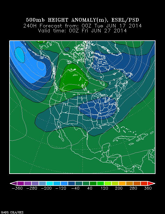
The pattern continues to look as if it’ll evolve in a way that will assist in delivering the hottest air so far this year during the course of the upcoming weekend into early next week. That said, the seeds are once again being planted that should promote a trough and associated cooler than normal pattern returning as we head closer to the Independence Day holiday.
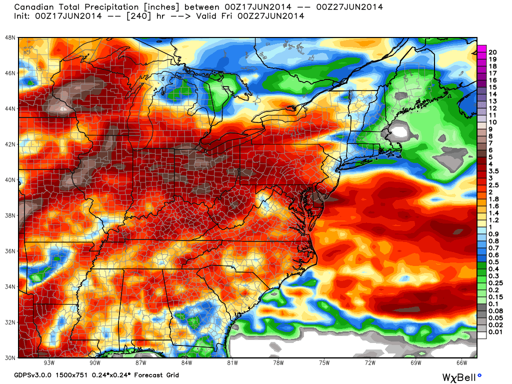
In short, an active and progressive pattern is set to continue across our immediate neck of the woods. This promises a continuation of above average precipitation and while shots of hot air will invade from time to time, it’s going to be mighty tough to get any sort of hot pattern to stick around for any sort of staying power over the course of the upcoming couple weeks.
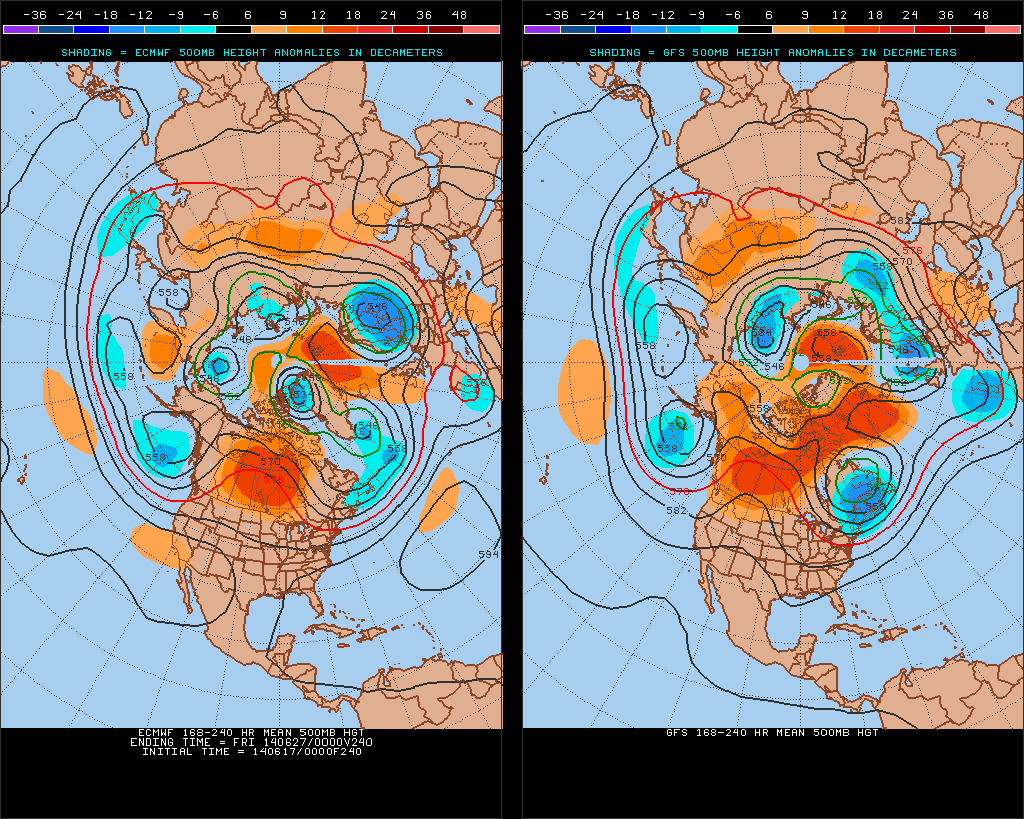
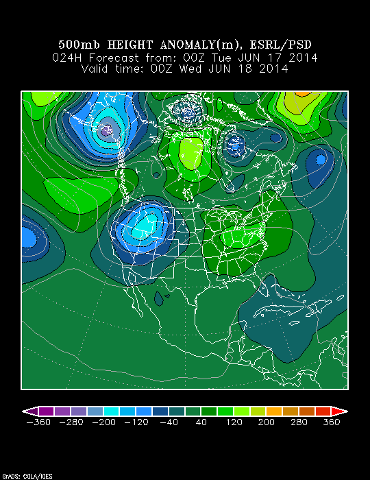
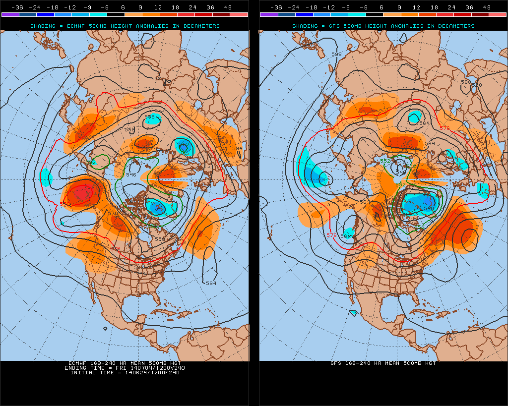
In the short-term, we’ll enjoy a couple of cooler, drier days for the mid week stretch, but ridging will build this weekend into the middle part of next week and we should have no problem reaching the hottest levels of the year so far. Note, however, how the upper pattern reverses and allows a trough to develop over the Lakes and Ohio Valley by Day 10, or the Independence Day holiday.
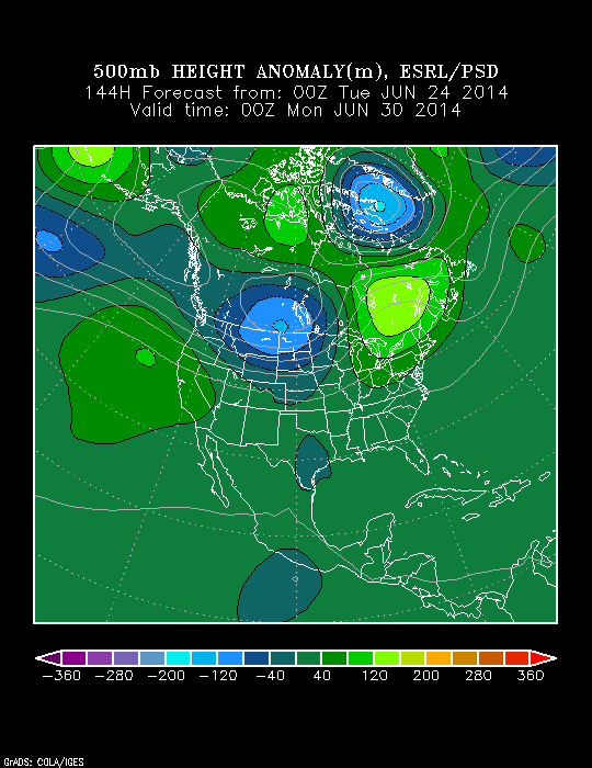
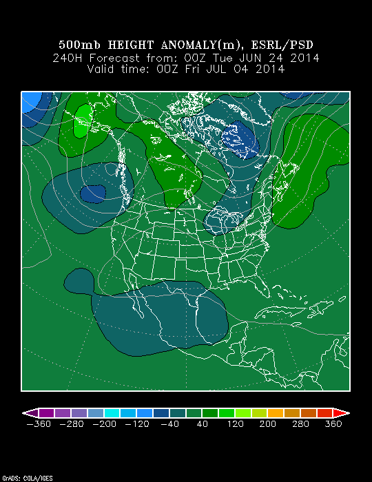
There’s relatively good agreement between the GFS and European during the 8-10 day period with the trough and associated cooler pattern returning.
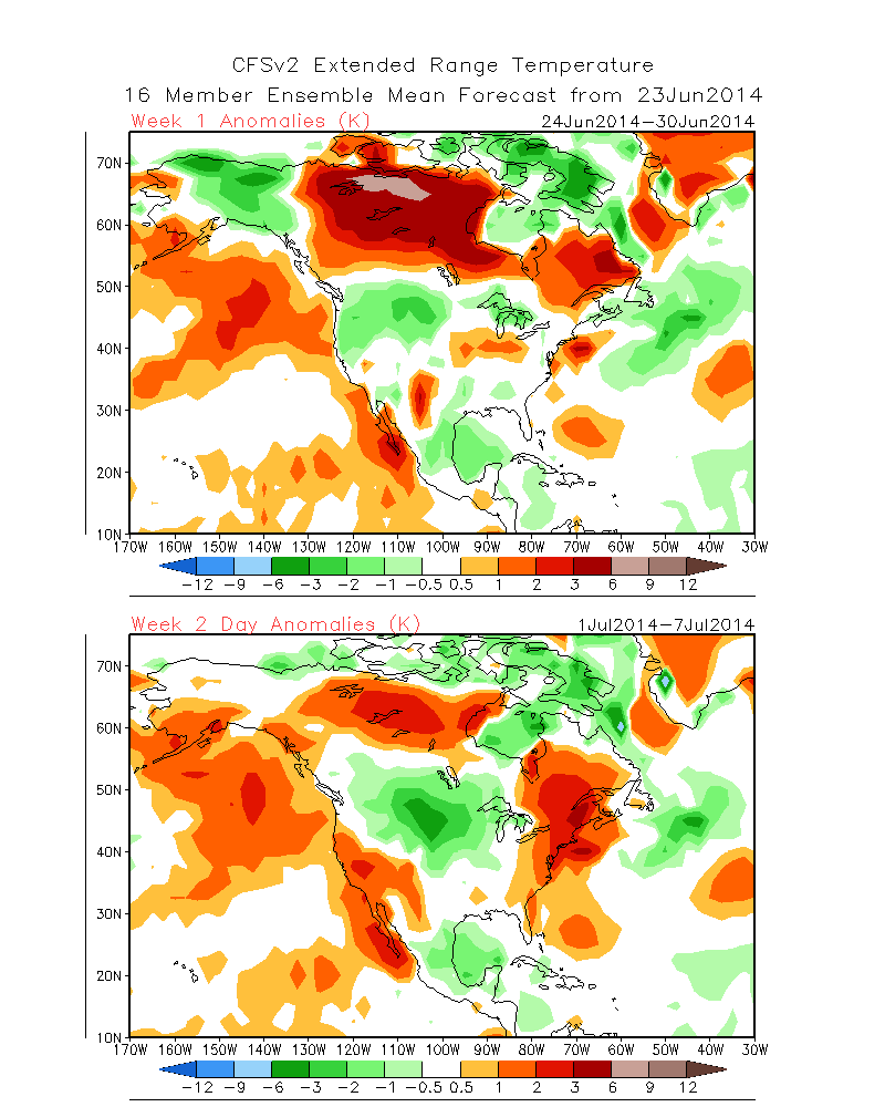
The NAEFS and CFSv2 highlight the warmer than normal pattern giving way to cooling week 2.

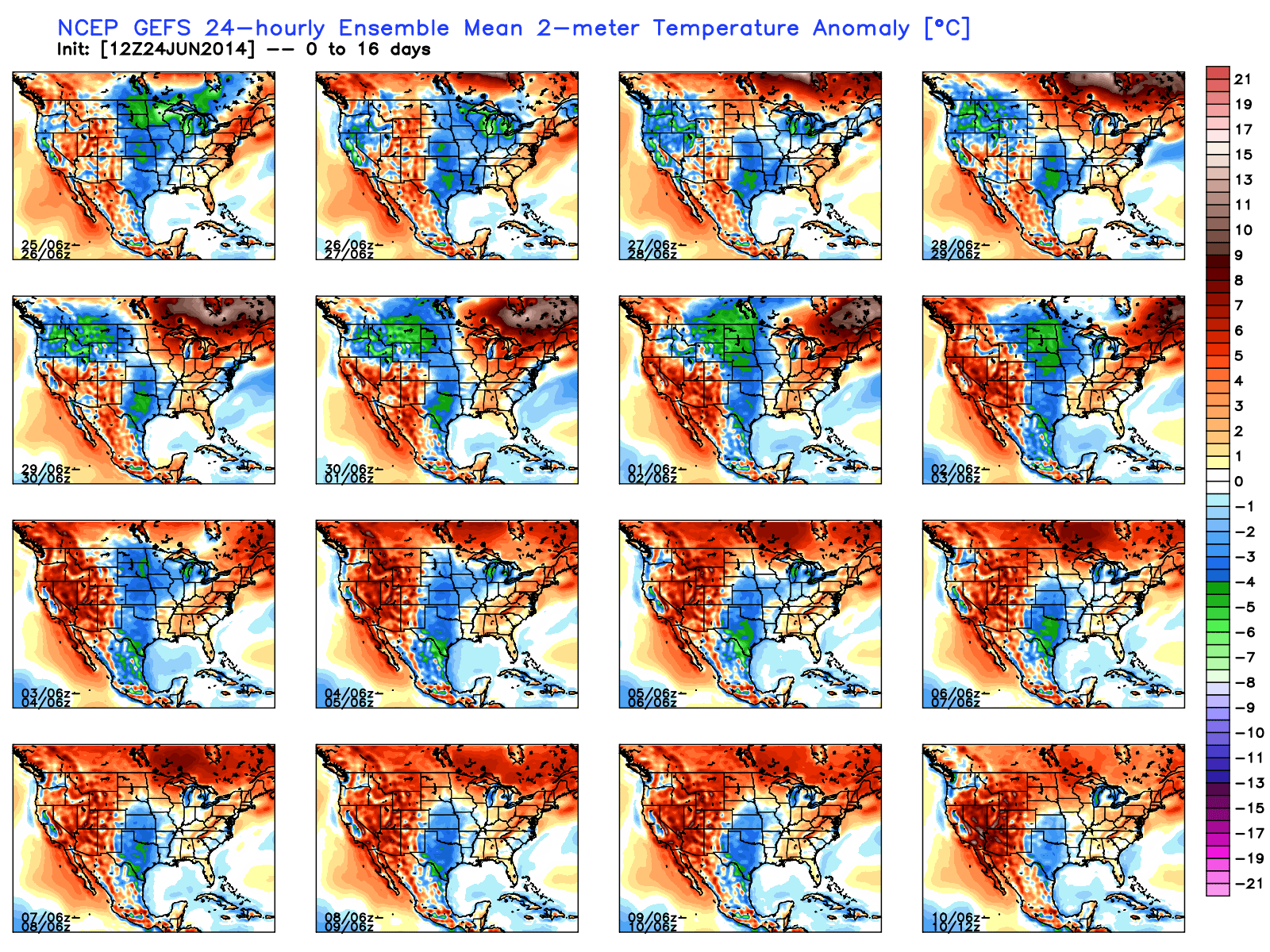
The GFS ensembles show the transient regime ahead. Note the warming giving way to cooling and then warming again towards week 3. Again, this is a good indication of wetter than normal conditions as well across a good portion of the Mid West and Ohio Valley.
To sum things up, the hottest air so far this year will likely move into the Hoosier state early next week and feature a day or two of 90 degrees +. The heat won’t have staying power as a trough and associated cooler air mass will return heading into the Independence Day holiday, and could potentially be highlighted by a round of gusty storms as the heat gives way to cooling. We’ll have to keep an eye on this as we draw closer.