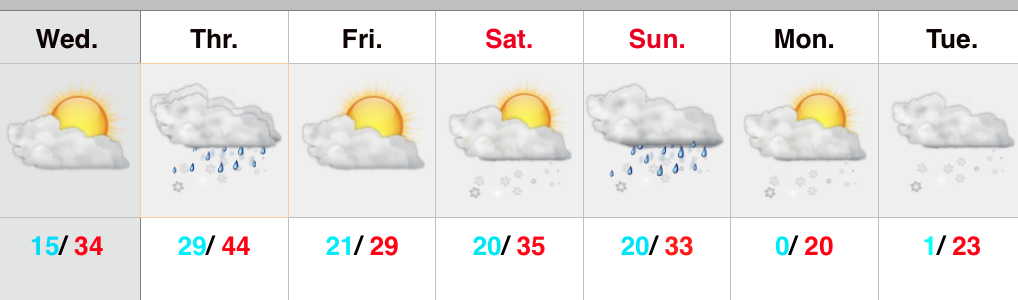
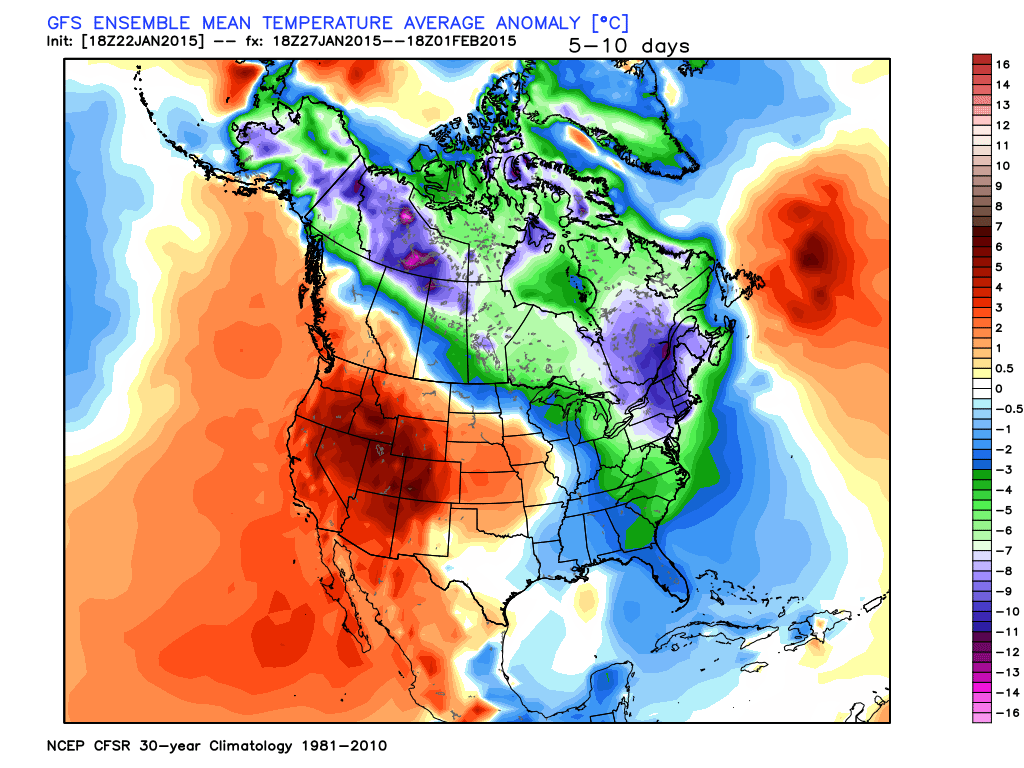
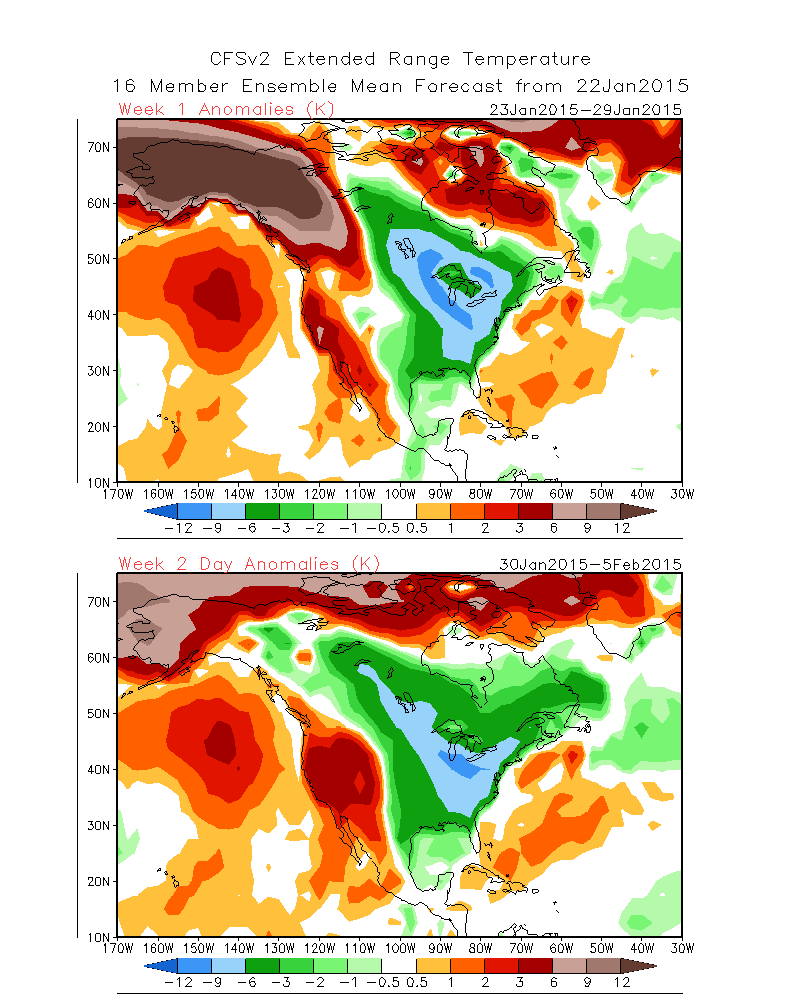
The past 5-7 days have featured a common “January thaw-” something typically seen in even the coldest Januarys. The coming 5-7 days will see a “step down” process of colder weather, interrupted by a day or two of milder southwest breezes. In the longer range, we hold firm on the idea of more sustained cold, and potentially frigid air, setting up shop to open February.
See the GFS track the clipper through the lower lakes this weekend. This is a mild track for central Indiana and will keep the accumulating snows over the Lakes region, extending into northern portions of the state. Some light snow will fly here late Sunday night/ early Monday, but accumulations should be minimal.
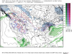 A brief surge of arctic air will invade early next week and may be accompanied by light snow Tuesday.
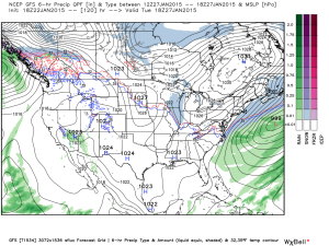 A brief southwesterly flow will allow milder air into the region by the middle of next week, but we caution this will be brief.
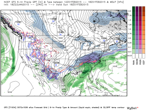
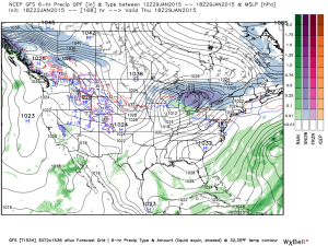 Much colder times loom to open February, potentially with a winter storm. Obviously with this being in the 8-10 day period, there will be a lot of time to watch the storm potential. Models have struggled mightily with storms this winter so far. We’re much more confident on the cold, and potentially downright frigid air at that (still don’t think we’ve seen the coldest air of the winter yet). Note the GFS sees the arctic highs “lining up.”
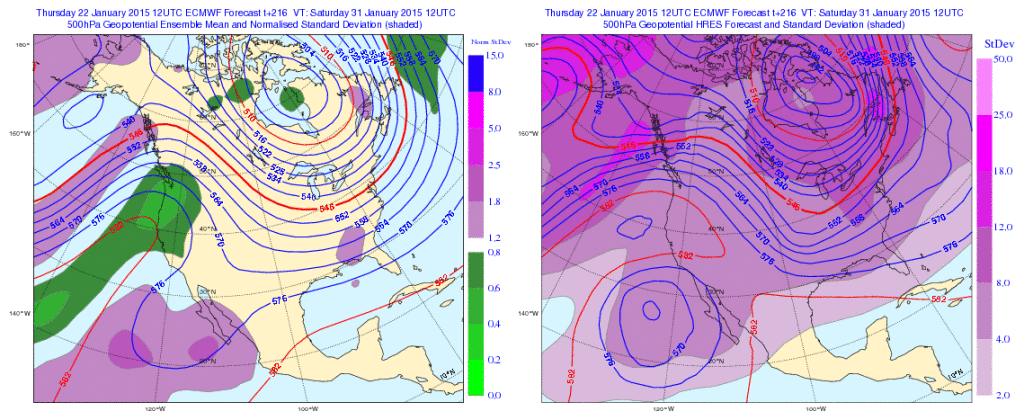
 The European ensembles and operational are also keying in on the cold and wintry pattern closing January and to open February:
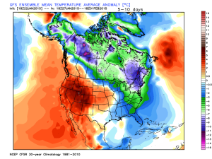
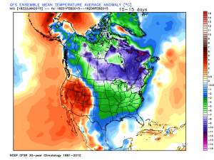
 Initially the cold attacks the northeastern portions of the country, but “backs” west with time in the longer range:
Days 5-10
 Days 10-15
 The NAEFS and CFSv2 see the colder pattern returning:
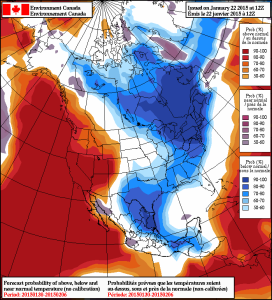
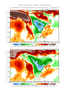
We still think there’s a lot of “winter” left in the coming months. Many folks enjoy snow Christmas into January, but begin to crave spring in February and March. This is the type pattern that can be quite “ugly” for spring lovers as colder and snowy weather can push well into the spring months… (Noted that we still have a lot of catch up to do in the snow department, but we’re not ready to say we won’t make up for “lost time”).