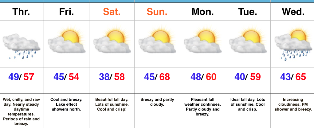
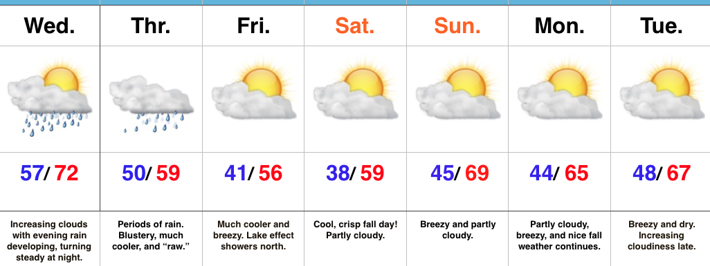
Increasing Sunshine; Unseasonably Cool Close To The Work Week…
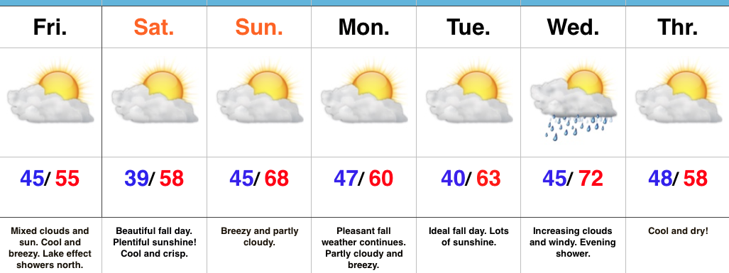 Highlights:
- Cool close to the work week
- Ideal autumn weekend
- Turning breezy early next week
- Scattered showers Wednesday PM
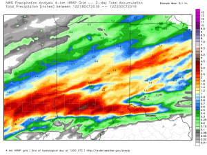
Grab The Jacket…After a significant rain event across central Indiana, the weekend will offer up a much-needed time to dry out! Here’s an illustration of where heaviest rains fell over the past 24-36 hours, courtesy of Weatherbell.com. Please note these aren’t official rainfall storm totals. Many ground-truth reports into the office include amounts of 1.5″-3″. Thanks to each of you for your reports!
 High pressure will build in over the weekend and create an increasingly sunny sky. The only caveat to that will be today where mixed clouds and sun across central IN become a little thicker and may yield lake effect rain showers across northern portions of the state later this afternoon.
We’ll turn briefly milder Sunday (upper 60s to around 70), but it’ll be a breezy day as a dry cold front sets it’s eyes on the region for a Sunday evening sweep! Reinforcing cool air will blow in to open the work week, but this should be a rain-free frontal passage as our air mass will be very dry.
The next storm system that could deliver rain arrives Wednesday evening. Along with scattered showers, a gusty SW wind can be expected before cooler air blows in to close next week.
Upcoming 7-Day Precipitation Forecast:
- Snowfall: 0.00″
- Rainfall: 0.10″ – 0.25″