Active Winter Pattern Rumbles Along…
 Highlights:
- Busy weather weekend
- Fresh shot of bitterly cold air
- Christmas week snow chances
Buckle Up For A Busy Winter Pattern…Thursday featured the coldest December 15th high (13 degrees) in a whopping 27 years. Talk about impressive. This was good for an amazing 26 degrees below average. Let that sink in…
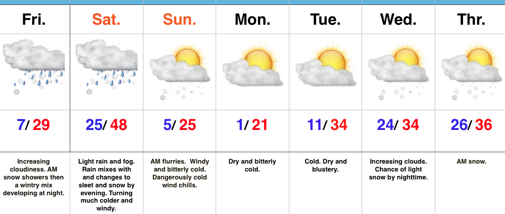
We’ll wrap up the work week and head into the busy weekend before Christmas with a new round of challenges. A couple of warm fronts will lift north through central IN Friday. Snow showers may accompany the first warm front early Friday before the second warm front lifts north Friday night. This will result in more widespread wintry precipitation, likely to begin as a period of light snow before a quick transition to sleet and freezing drizzle during the overnight. Temperatures will warm overnight Friday and precipitation will change to light rain Saturday morning. That’s when our attention turns to the first of two cold fronts that will sweep through the state. The first cold front will lead to a quick changeover to sleet and snow Saturday evening (thinking between 6p-8p as of now). As a secondary wave of moisture moves northeast along the boundary, expect a light accumulation of snow Saturday night. The second cold front (arctic) will blow through late Saturday night and early Sunday morning and lead to a frigid Sunday. That 25 degree high you see Sunday will come at midnight as temperatures crash through the day. Add in a stiff northwest wind and wind chill values will fall below zero (yet again) in the Sunday-Monday time frame.
We’ll briefly calm things down during the early Christmas week period and remain cold. Our next storm system is slated for a mid week arrival and could deliver a round of accumulating snow Wednesday night into Thursday morning. More on that after this weekend system.
Upcoming 7-Day Precipitation Forecast:
- Snowfall: 2″ – 4″
- Rainfall: 0.20″ – 0.40″

 2.) Our next storm will approach Friday evening. Clouds will increase and thicken as the day gives way to evening and a wintry mix of snow, sleet, and freezing rain will overspread central IN Friday night. With snow on the ground and the recent bitter blast, we have concerns the cold air won’t be “dislodged” as quickly as last weekend. The end result may be a period of accumulating freezing rain/ sleet Friday night into early Saturday morning. We’ll keep a close eye on things.
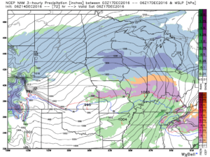 Regardless, icy precipitation will transition to rain during the day Saturday as temperatures briefly surge above freezing. “Brief” is the key word there as temperatures plummet Saturday night, courtesy of fresh arctic air oozing back in. A secondary wave of moisture may result in additional wintry issues Saturday night. Additionally, with sharply colder air returning, “flash freeze” concerns loom Saturday night, as well.
 4.) Our attention then shifts to what may very well be an active Christmas week in the weather department. We continue to think the frigid times of this week will relax. That said, it’ll remain cold enough with a favorable storm track to result in wintry issues as Christmas nears. Far too early for specifics with this 10+ days out, but keep it in the back of your mind that the weather pattern continues to look active and at least present a threat of wintry precipitation at times Christmas week.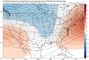
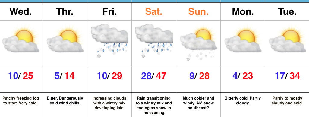
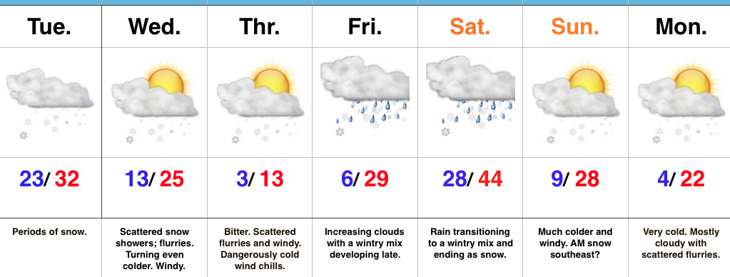
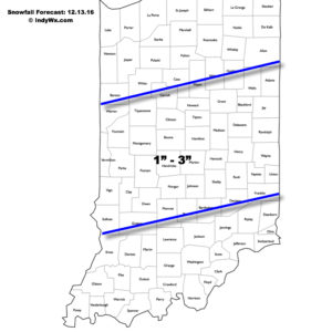 Fresh arctic air will pour into the region tomorrow evening, along with a gusty NW wind. Tuesday’s snow should be rather wet in nature so we don’t anticipate blowing/ drifting issues to result as the arctic hounds roar into town. However, there will likely be periods of flurries and scattered snow showers as the bitterly cold air arrives in the Wednesday-Thursday time frame and this could lead to light additional coatings in spots. The big weather story through mid and late week will be the bitter air. “Air that hurts” is what we’re calling it and wind chill values will approach 20 degrees below zero Wednesday night/ Thursday morning.